Boundary Line Agreement (Short Form)
What this document covers
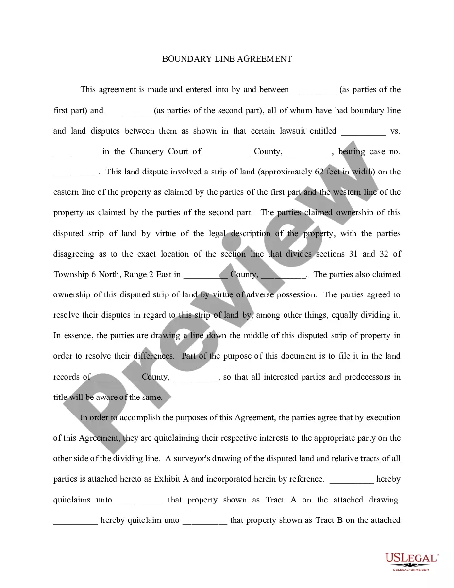
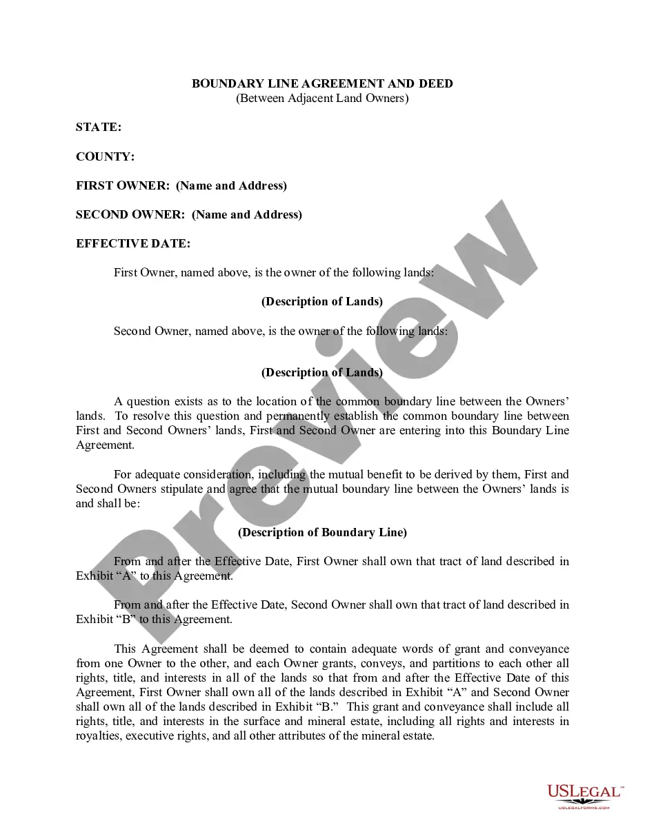
The Boundary Line Agreement is a legal document that establishes the official boundary between two properties. Unlike more complex boundary agreements, this short form simplifies the process, allowing owners to quickly and efficiently settle any disputes regarding property lines. This form helps clarify property divisions and ensures both parties agree on the exact border of their respective tracts of land.
Form components explained
- Identification of the property owners involved.
- Description of the land and its boundaries.
- Agreement to fix the boundary line as per the mutual understanding.
- Legal transfer of portions of land if necessary.
- Signatures of the parties involved, including acknowledgments.

When to use this document
This form is used when two or more property owners need to confirm the boundary line between their adjacent tracts of land. It is particularly useful in cases where fences or other markers have been placed incorrectly over time, leading to misunderstandings about property lines. This agreement can prevent future disputes regarding land ownership and usage.
Who can use this document
- Property owners who wish to clarify boundary disputes.
- Individuals involved in real estate transactions requiring clear property lines.
- Neighbors who agree to formalize their understanding of land boundaries.
- Landowners interested in preventing potential future conflicts over property lines.
Steps to complete this form
- Identify and write the names of all property owners involved.
- Provide a detailed description of the land in question.
- Agree on and clearly describe the new boundary line.
- Have each party sign the document to agree to the terms.
- If necessary, have the signatures notarized to enhance legal validity.
Notarization guidance
To make this form legally binding, it must be notarized. Our online notarization service, powered by Notarize, lets you verify and sign documents remotely through an encrypted video session.
Get your form ready online
Our built-in tools help you complete, sign, share, and store your documents in one place.
Make edits, fill in missing information, and update formatting in US Legal Forms—just like you would in MS Word.
Download a copy, print it, send it by email, or mail it via USPS—whatever works best for your next step.
Sign and collect signatures with our SignNow integration. Send to multiple recipients, set reminders, and more. Go Premium to unlock E-Sign.
If this form requires notarization, complete it online through a secure video call—no need to meet a notary in person or wait for an appointment.
We protect your documents and personal data by following strict security and privacy standards.

Make edits, fill in missing information, and update formatting in US Legal Forms—just like you would in MS Word.

Download a copy, print it, send it by email, or mail it via USPS—whatever works best for your next step.

Sign and collect signatures with our SignNow integration. Send to multiple recipients, set reminders, and more. Go Premium to unlock E-Sign.

If this form requires notarization, complete it online through a secure video call—no need to meet a notary in person or wait for an appointment.

We protect your documents and personal data by following strict security and privacy standards.
Common mistakes to avoid
- Failing to accurately describe the boundaries can lead to future disputes.
- Not including all property owners' names and signatures may invalidate the agreement.
- Overlooking local legal requirements related to boundary agreements.
Why complete this form online
- Easy access to customizable templates crafted by licensed attorneys.
- Convenience of downloading and completing the form from anywhere.
- Time-saving compared to traditional lawyer consultations.
- The ability to store and retrieve documents digitally.
Looking for another form?


Form popularity
FAQ
The boundary line for the inequality is drawn as a solid line if the points on the line itself do satisfy the inequality, as in the cases of 2264 and 2265. It is drawn as a dashed line if the points on the line do not satisfy the inequality, as in the cases of < and >.
1. boundary line - a line that indicates a boundary. border, borderline, delimitation, mete. boundary, bounds, bound - the line or plane indicating the limit or extent of something.
As nouns the difference between boundary and barrier is that boundary is the dividing line or location between two areas while barrier is a structure that bars passage.
The doctrine provides that when two adjacent owners who are uncertain of the true position of the common boundary between the parcels agree to the true position of the common boundary, mark it on the ground or build it up, and occupy each side for a period equal to the statute of limitations, then such line becomes the
BOUNDARY ADJUSTMENT means the transfer of property by deed to a respective owner or owners of contiguous property for the purpose of adjusting a boundary line and not for the purpose of creating an additional lot or parcel.
1. Side and Rear Yards. Yard structures under six feet in height may be located up to a side or rear property line subject to building code and fire code limitations. Yard structures six feet in height or over shall be located at least three feet from any property line and shall not exceed 12 feet in height.
Property boundaries are often identified above ground with the use of stakes to mark the corner points. Years ago, wooden stakes were often used to mark property lines. More recently, long metal posts that are visible about 1 to 2 feet above ground have been used.
Property lines, or boundary lines, are the defined points where one person's land ends and the neighboring lands begin.Use the maps to find the boundary lines for your property and to determine where nearby landmarks are located, such as the west line of your street.
Taking the details from the legal description and plat map, a surveyor carefully measures the legal boundaries of your property. The surveyor will bury survey pins if they're not already there and often mark the spots with stakes or flags for easy use.

")