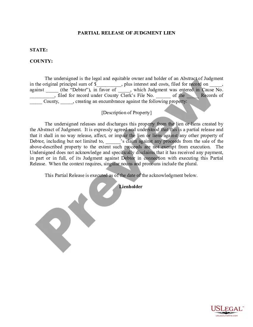
Boundary Line Agreement
What is this form?
The Boundary Line Agreement is a legal document used to resolve disputes over the boundaries of real estate between two parties. This form signifies a mutual agreement where each party quits any claims to the other's property as delineated by a dividing line. It is essential for formally settling boundary disputes and preventing future conflicts regarding property lines, setting it apart from other property agreements by its focus on boundary issues specifically.
Key parts of this document
- Identification of the disputing parties and their legal claims.
- Description of the disputed land and involved tracts.
- Clear delineation of the agreed-upon boundary line.
- Quitclaim clauses transferring interests between parties.
- Attachment of a surveyor's drawing for clarity.


Situations where this form applies
This form should be utilized when two or more parties have a disagreement regarding the location of property boundaries. It is particularly useful after attempts to resolve the issue have been unsuccessful, or when a legal dispute has arisen, such as those filed in court. The Boundary Line Agreement formalizes the understanding between the parties and serves as a public record to prevent future disputes.
Intended users of this form
- Property owners involved in boundary disputes.
- Individuals or entities seeking to clarify property lines legally.
- Parties engaged in lawsuits related to boundary issues.
Steps to complete this form
- Identify all parties involved in the boundary dispute.
- Describe the property and the disputed area in detail.
- Include the case information if applicable, such as the court case title and number.
- Refer to the attached surveyor's drawing to clarify the agreed boundary.
- All parties must sign and date the agreement.
- File the completed agreement in the appropriate land records office to make it official.
Notarization guidance
To make this form legally binding, it must be notarized. Our online notarization service, powered by Notarize, lets you verify and sign documents remotely through an encrypted video session.
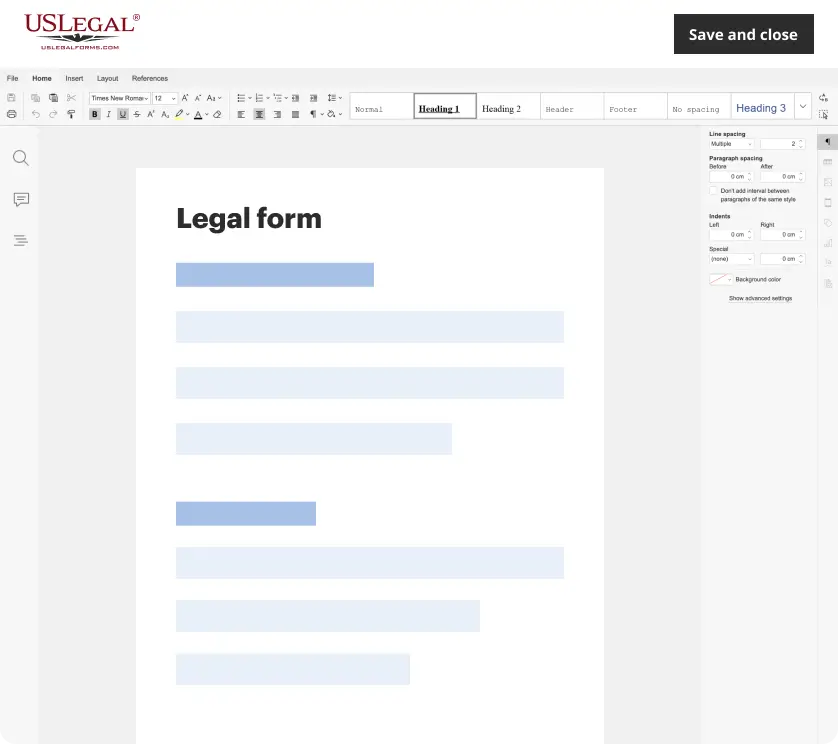
Get your form ready online
Our built-in tools help you complete, sign, share, and store your documents in one place.
Make edits, fill in missing information, and update formatting in US Legal Forms—just like you would in MS Word.
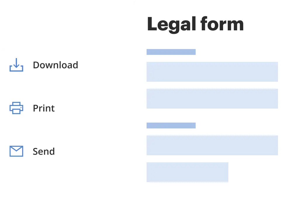
Download a copy, print it, send it by email, or mail it via USPS—whatever works best for your next step.
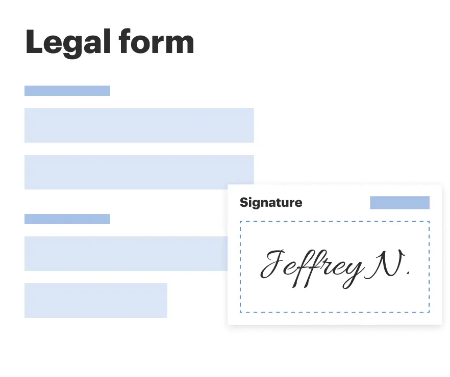
Sign and collect signatures with our SignNow integration. Send to multiple recipients, set reminders, and more. Go Premium to unlock E-Sign.
If this form requires notarization, complete it online through a secure video call—no need to meet a notary in person or wait for an appointment.
We protect your documents and personal data by following strict security and privacy standards.
Make edits, fill in missing information, and update formatting in US Legal Forms—just like you would in MS Word.
Download a copy, print it, send it by email, or mail it via USPS—whatever works best for your next step.
Sign and collect signatures with our SignNow integration. Send to multiple recipients, set reminders, and more. Go Premium to unlock E-Sign.

If this form requires notarization, complete it online through a secure video call—no need to meet a notary in person or wait for an appointment.
We protect your documents and personal data by following strict security and privacy standards.
Avoid these common issues
- Failing to attach a clear surveyor's drawing, which could lead to confusion.
- Not including all disputing parties, which may invalidate the agreement.
- Signing the document without understanding the implications of quitclaiming property rights.
- Neglecting to file the agreement with local land records.
Why use this form online
- Convenience of downloading and printing the form anytime.
- Ability to edit and customize the document to match specific needs.
- Access to templates created by licensed attorneys, ensuring reliability.
Legal use & context
- This form is legally binding once completed, signed, and if applicable, notarized.
- The agreement helps to prevent future disputes by clearly establishing ownership boundaries.
- Legal enforceability is dependent on the accurate completion and appropriate filing of this form with local land records.
Main things to remember
- The Boundary Line Agreement is essential for resolving property boundary disputes.
- It involves legally quitclaiming property interests between parties.
- Clear documentation and a surveyor's drawing are crucial for clarity.
Looking for another form?
Form popularity
FAQ
Taking the details from the legal description and plat map, a surveyor carefully measures the legal boundaries of your property. The surveyor will bury survey pins if they're not already there and often mark the spots with stakes or flags for easy use.
To graph the boundary line, find at least two values that lie on the line x+4y=4 x + 4 y = 4 . You can use the x and y-intercepts for this equation by substituting 0 in for x first and finding the value of y; then substitute 0 in for y and find x.
A boundary line is a line along which two areas meet. A boundary line between privately owned parcels of land is usually termed a property line. A boundary line between political entities (such as counties, states, or countries) is usually termed a political boundary.
For a simple residential boundary adjustment, it will take around 3-6 months and cost $10K $15K for all your costs.
Property lines, or boundary lines, are the defined points where one person's land ends and the neighboring lands begin.Use the maps to find the boundary lines for your property and to determine where nearby landmarks are located, such as the west line of your street.
4 Boundary numbers. In a surface with boundary, the boundary may consist of more than one piece. For example, the boundary of a cylinder, or of a torus with two holes, consists of two pieces, as shown in Figure 23 . The number of boundary components is the boundary number of S, denoted by 03b2.
Property boundaries are often identified above ground with the use of stakes to mark the corner points. Years ago, wooden stakes were often used to mark property lines. More recently, long metal posts that are visible about 1 to 2 feet above ground have been used.
The doctrine provides that when two adjacent owners who are uncertain of the true position of the common boundary between the parcels agree to the true position of the common boundary, mark it on the ground or build it up, and occupy each side for a period equal to the statute of limitations, then such line becomes the
Barrier. borderline. confines. edge. frontier. horizon. line. perimeter.