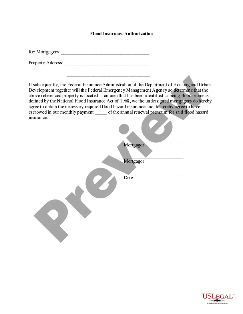
North Carolina Flood Zone Statement and Authorization
What is this form?
The Flood Zone Statement and Authorization form is a legal document used in real estate transactions. It allows sellers to disclose the flood zone status of a property and requires buyers to acknowledge this status. This form is crucial for ensuring that both parties are aware of potential flood risks associated with the property, which differs from typical property disclosure forms by specifically focusing on flood zone identification and insurance obligations.
Key components of this form
- Property Address: Sections for entering the property's address.
- Sellers' Statements: Options for sellers to declare the flood zone status based on their knowledge.
- Buyers' Acknowledgment: Buyers acknowledge the flood zone status and agree to obtain flood insurance if necessary.
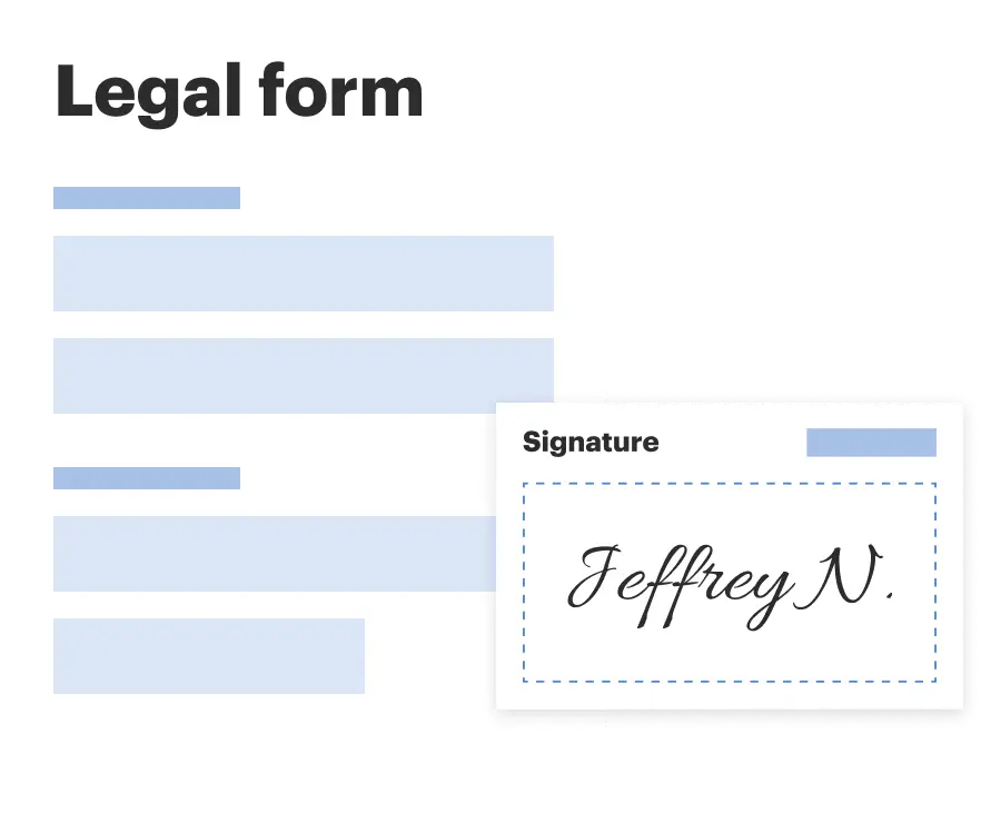
- Signature Areas: Spaces for sellers and buyers to sign and date the form.


When to use this form
This form is needed during the sale or purchase of property located in areas susceptible to flooding. It is especially important in regions where flood zones are prevalent, allowing buyers to make informed decisions regarding flood risk and insurance requirements before finalizing the property transaction.
Intended users of this form
- Property sellers who need to disclose the flood zone status of their property.
- Property buyers who want to confirm the flood zone status and understand insurance obligations.
- Real estate agents assisting in the buying and selling process who need to facilitate compliance with legal requirements.
Instructions for completing this form
- Identify the property: Enter the complete address of the property being sold.
- Sellers' statements: Check the appropriate option stating whether the property is in a flood zone or not.
- Buyers' acknowledgment: Confirm understanding of the flood zone status and agree to insurance requirements if applicable.
- Signatures: Both sellers and buyers must sign and date the form in the designated areas.
Does this document require notarization?
This form does not typically require notarization unless specified by local law. However, it is advisable to check state regulations to ensure compliance with any additional legal requirements during the property transaction.
Get your form ready online
Our built-in tools help you complete, sign, share, and store your documents in one place.
Make edits, fill in missing information, and update formatting in US Legal Forms—just like you would in MS Word.
Download a copy, print it, send it by email, or mail it via USPS—whatever works best for your next step.
Sign and collect signatures with our SignNow integration. Send to multiple recipients, set reminders, and more. Go Premium to unlock E-Sign.
If this form requires notarization, complete it online through a secure video call—no need to meet a notary in person or wait for an appointment.
We protect your documents and personal data by following strict security and privacy standards.
Make edits, fill in missing information, and update formatting in US Legal Forms—just like you would in MS Word.
Download a copy, print it, send it by email, or mail it via USPS—whatever works best for your next step.
Sign and collect signatures with our SignNow integration. Send to multiple recipients, set reminders, and more. Go Premium to unlock E-Sign.

If this form requires notarization, complete it online through a secure video call—no need to meet a notary in person or wait for an appointment.
We protect your documents and personal data by following strict security and privacy standards.
Avoid these common issues
- Forgetting to provide the complete property address.
- Not checking the correct box regarding flood zone status.
- Failing to secure signatures from all required parties.
- Neglecting to attach necessary flood certification documentation if applicable.
Why use this form online
- Convenience of downloading and completing the form at your own pace.
- Editability allows for easy corrections before submission.
- Reliability ensured by utilizing templates created by licensed attorneys.
Looking for another form?

Form popularity
FAQ
If you live in a high-risk area for flooding and are purchasing flood insurance through the National Flood Insurance Program (NFIP), you will almost certainly be required to provide an elevation certificate to complete your purchase.
Summary: Proximity to a flood zone lowers property values. By law, a property is considered in a flood zone if any part of the structure falls within a floodplain, an area that is adjacent to a stream or river that experiences periodic flooding.
Your local floodplain manager: Your local floodplain manager may already have a certificate on file. The seller of your property: If you're buying a property, the sellers may already have the certificate, and you can ask them for it before purchasing.
Areas in flood zone A have a 1 percent chance of flooding per year and a 25 percent chance of flooding at least once during a 30-year mortgage. Since there haven't been detailed hydraulic analysis in these areas, the base flood elevation and depths have not been determined.
The BFE is the elevation that floodwaters are estimated to have a 1% chance of reaching or exceeding in any given year. The higher your lowest floor is above the BFE, the lower the risk of flooding. Lower risk typically means lower flood insurance premiums.
An elevation certificate is a document that lists a building's location, lowest point of elevation, flood zone and other characteristics, according to the Federal Emergency Management Agency (FEMA). It is used to enforce local building ordinances and to help determine flood insurance rates.
An Elevation Certificate is not the same thing as a land survey. It can be completed by your state-licensed surveyor when you hire them to conduct a new land survey. Architects and engineers are also able to issue an elevation certificate. There may also be a copy of an EC on file with your community or municipality.
How long does it take to get an elevation certificate? The amount of time varies with each surveyor. If you work with a licensed surveyor, and he or she is able to fit you in and knows your area well, you should expect a completed elevation certificate within five business days.
Zone A. Zone A is the flood insurance rate zone that corresponds to the I-percent annual chance floodplains that are determined in the Flood Insurance Study by approximate methods of analysis.