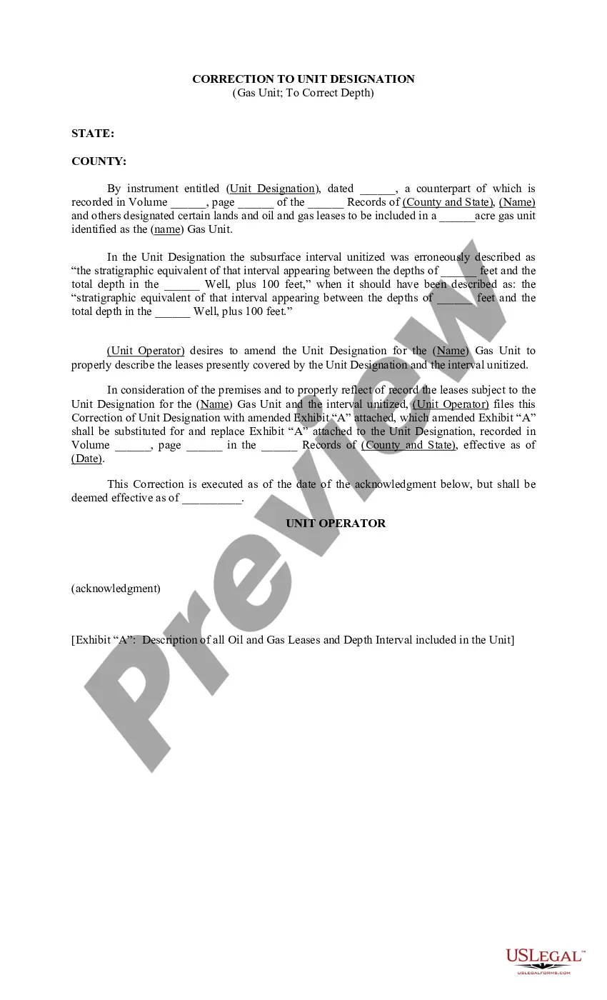
Tarrant Texas Correction to Unit Designation to Correct Depth is a process that involves making necessary changes to the unit designation in order to accurately reflect its depth in Tarrant County, Texas. This correction is crucial for ensuring proper identification and classification of geographical units within the region. The correction process involves closely examining existing unit designations and determining their true depths through advanced surveying techniques and data analysis. By utilizing relevant technologies and methodologies, experts can accurately measure the depth of these units and make the required adjustments to their designations. There are several types of Tarrant Texas Correction to Unit Designation to Correct Depth, depending on the nature of the geographical units being corrected. Some common examples include: 1. Correction to Well Unit Designation Depth: In this type, the correction mainly focuses on oil or gas well units. Accurate designations are vital for efficient extraction and management of these resources, and so the correction process ensures that the depths associated with well units in Tarrant County are correctly designated. 2. Correction to Geologic Formation Unit Designation Depth: Geologic formations play a significant role in various industries, including oil and gas exploration, mining, and groundwater management. The correction process aims to accurately designate the depths of these formations, allowing for better understanding and utilization of the subsurface environment. 3. Correction to Aquifer Unit Designation Depth: Aquifers are critical sources of groundwater, making their correct identification and designation essential for sustainable water resource management. This type of correction focuses on determining the accurate depths of different aquifer units in Tarrant County, enabling efficient water extraction and protection. By conducting the Tarrant Texas Correction to Unit Designation to Correct Depth, accurate and up-to-date information about the depths of various geographical units can be achieved. This ensures that industries, environmental agencies, and researchers can rely on precise data when making important decisions related to resource management, development projects, and conservation efforts.
Tarrant Texas Correction to Unit Designation to Correct Depth
Description


How to fill out Tarrant Texas Correction To Unit Designation To Correct Depth?
If you need to find a trustworthy legal paperwork provider to find the Tarrant Correction to Unit Designation to Correct Depth, consider US Legal Forms. No matter if you need to start your LLC business or manage your belongings distribution, we got you covered. You don't need to be knowledgeable about in law to locate and download the needed template.
- You can search from more than 85,000 forms categorized by state/county and situation.
- The self-explanatory interface, number of supporting resources, and dedicated support team make it easy to get and complete various papers.
- US Legal Forms is a trusted service providing legal forms to millions of customers since 1997.
Simply select to search or browse Tarrant Correction to Unit Designation to Correct Depth, either by a keyword or by the state/county the form is created for. After finding the needed template, you can log in and download it or retain it in the My Forms tab.
Don't have an account? It's effortless to get started! Simply locate the Tarrant Correction to Unit Designation to Correct Depth template and check the form's preview and description (if available). If you're confident about the template’s language, go ahead and hit Buy now. Register an account and choose a subscription plan. The template will be instantly available for download as soon as the payment is processed. Now you can complete the form.
Taking care of your law-related matters doesn’t have to be pricey or time-consuming. US Legal Forms is here to demonstrate it. Our rich collection of legal forms makes this experience less costly and more reasonably priced. Create your first business, arrange your advance care planning, create a real estate agreement, or complete the Tarrant Correction to Unit Designation to Correct Depth - all from the convenience of your sofa.
Join US Legal Forms now!
Form popularity
FAQ
Usually, prison transfers occur because of changes in the prisoner's security-level scoring. Other times prisoners may request transfers to similarly-rated facilities for their own reasons.
Detention Bureau Information Line: 817-884-3000.
The Tarrant County Corrections Center had a final estimated price tag of $52 million, and it had been designed as an innovative maximum-security facility. The spacious, modern fourteen floor structure was built with a ?then emerging? detention concept called ?Direct Inmate Supervision?.
Only the Tarrant County Jail supervisor will take incoming calls for an inmate in case of an emergency. The Tarrant County Jail inmate is later informed and will return the call to the caller. To call the Tarrant County Jail, use the number: 817-884-1187, 817-884-3080.
Tarrant County will move 432 inmates from its jail to a private one in Garza County because of a staffing shortage and planned maintenance in 2023. Commissioners on Tuesday approved an $18 million contract with Giles W. Dalby Correctional Facility in Post, 38 miles southeast of Lubbock and 270 miles from Fort Worth.
Supervised by the local Community Supervision and Corrections Department (CSCD), the offender must meet specific conditions set by the court while being supervised. Progress and compliance with conditions ordered by the court are monitored by a community supervision officer.
The Tarrant County Corrections Center (TCCC) is a detention center located in Downtown Fort Worth in Tarrant County, Texas, United States. Designed to house prisoners either awaiting trial, transfer or serving short jail sentences, the structure handles both male and female inmates.
Free phone calls are only available while the inmate is in the booking process. Each holding cell has a telephone. This phone is available for inmates to make calls to arrange bail, inform family of their circumstances or to reach an attorney. Calls are free within the local dialing area.
The Tarrant County Jail has a capacity of approximately 5,000 prisoners and is comprised of five facilities. The Tarrant County Jail Industries is located inside the Tarrant County Corrections Center.