Maine Boundary Line Agreement
Description


Get your form ready online
Our built-in tools help you complete, sign, share, and store your documents in one place.
Make edits, fill in missing information, and update formatting in US Legal Forms—just like you would in MS Word.
Download a copy, print it, send it by email, or mail it via USPS—whatever works best for your next step.
Sign and collect signatures with our SignNow integration. Send to multiple recipients, set reminders, and more. Go Premium to unlock E-Sign.
If this form requires notarization, complete it online through a secure video call—no need to meet a notary in person or wait for an appointment.
We protect your documents and personal data by following strict security and privacy standards.
Make edits, fill in missing information, and update formatting in US Legal Forms—just like you would in MS Word.
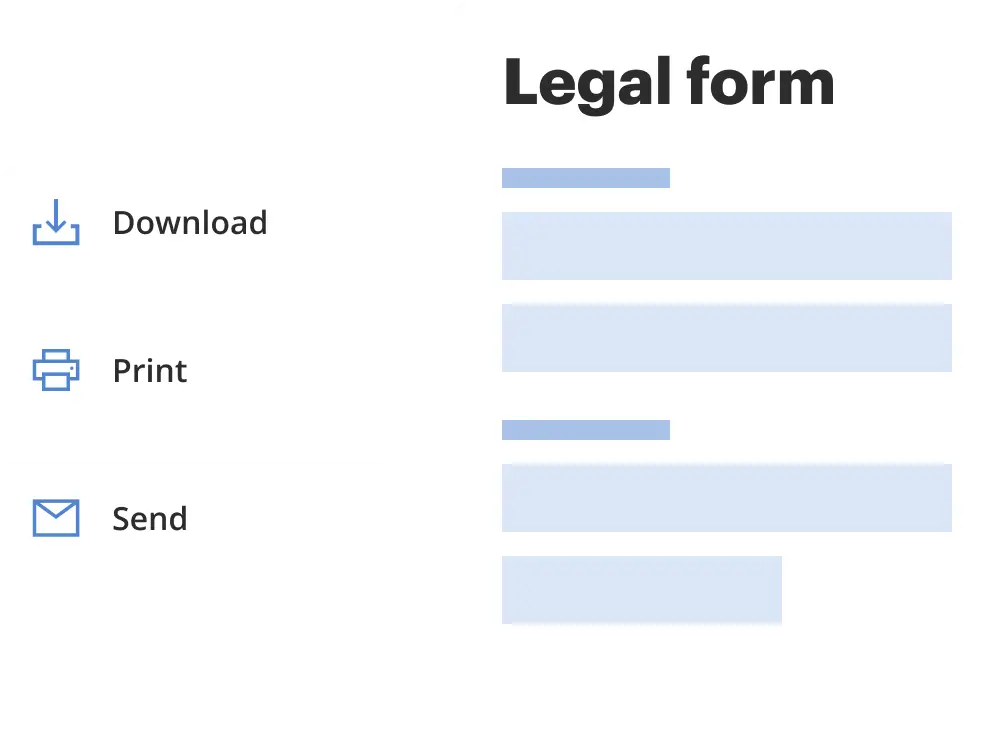
Download a copy, print it, send it by email, or mail it via USPS—whatever works best for your next step.
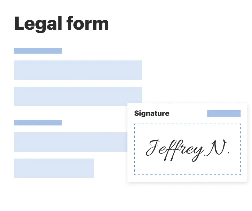
Sign and collect signatures with our SignNow integration. Send to multiple recipients, set reminders, and more. Go Premium to unlock E-Sign.

If this form requires notarization, complete it online through a secure video call—no need to meet a notary in person or wait for an appointment.
We protect your documents and personal data by following strict security and privacy standards.
Looking for another form?
How to fill out Boundary Line Agreement?
It is feasible to allocate time online trying to locate the approved document template that conforms to the state and federal requirements you need.
US Legal Forms provides a wide array of legal forms that can be scrutinized by experts.
You can easily download or print the Maine Boundary Line Agreement from the service.
If available, use the Preview button to browse through the document template as well.
- If you possess a US Legal Forms account, you can Log In and click the Download button.
- Afterwards, you can complete, modify, print, or sign the Maine Boundary Line Agreement.
- Every legal document template you purchase becomes your property for an extended period.
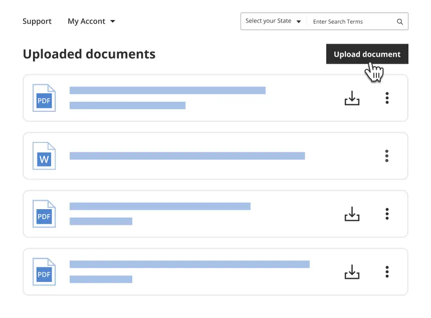
- To obtain another copy of the acquired form, visit the My documents tab and click the corresponding button.
- If you are using the US Legal Forms website for the first time, follow the straightforward instructions below.
- First, ensure you have selected the correct document template for the county/town of your choice.
- Review the form description to verify you have chosen the right template.
Form popularity
FAQ
Yes, property lines can extend into the water, but this is often dependent on your property deed and stipulations found in any Maine Boundary Line Agreement you may have. Understanding these details is important as they outline your rights and usage of the waterfront. Consulting with a property expert can help clarify any uncertainties.
Ownership of the shoreline typically belongs to the property owner whose land borders the water, but rights may be defined in state law or affected by a Maine Boundary Line Agreement. Public access and use rights also come into play, so understanding your rights and responsibilities is vital. Local regulations can provide additional context.
In Maine, property lines can extend into the lake, depending on your property deed and waterfront rights. The specifics may vary, so it is beneficial to have a Maine Boundary Line Agreement to clarify such conditions. Consult a local expert to ensure your understanding is accurate and up to date.
The waterfront setback regulations in Maine vary by municipality, but they often require buildings to be a certain distance from the water's edge. This distance is usually aimed at protecting water quality and wildlife habitats. Reviewing your local zoning laws and any Maine Boundary Line Agreement can help you determine your specific requirements.
The boundary line defines the legal separation between two properties and is typically marked on property surveys. It is essential to refer to your deed and any Maine Boundary Line Agreement to understand your exact boundaries. Disputes can occur without clear demarcation, so working with professionals is advisable.
Ownership of the land beneath the lake depends on the specifics of your property deed and any Maine Boundary Line Agreement in place. Typically, property owners have rights to a portion of the lakebed corresponding to their waterfront property. However, consulting a property surveyor or legal expert can provide clarity specific to your situation.
In Maine, removing survey stakes can lead to legal issues. These stakes are crucial for determining property boundaries and are often part of a Maine Boundary Line Agreement. If you remove these markers, you may disrupt the agreed-upon property lines with your neighbor, leading to disputes. It's always best to consult with a legal expert or review your Maine Boundary Line Agreement before taking any action.
To write an agreement format, begin with a clear title, like 'Maine Boundary Line Agreement.' Then, include sections for parties' names, property descriptions, terms of agreement, and signatures. Using a straightforward layout helps ensure both parties understand the agreement's intent and obligations, fostering a smoother process.
To get land surveyed in Maine, start by hiring a licensed land surveyor who understands your specific needs. They will assess your property, research boundary documentation, and create an accurate survey map. Once completed, this survey can be crucial for formalizing any Maine Boundary Line Agreement.
In Maine, a boundary survey can typically trace property lines back to the original land grants or the most recent title documents. The longevity of the survey's validity may depend on property changes and the available records. It's wise to work with a qualified surveyor familiar with local laws to ensure accuracy when creating a Maine Boundary Line Agreement.