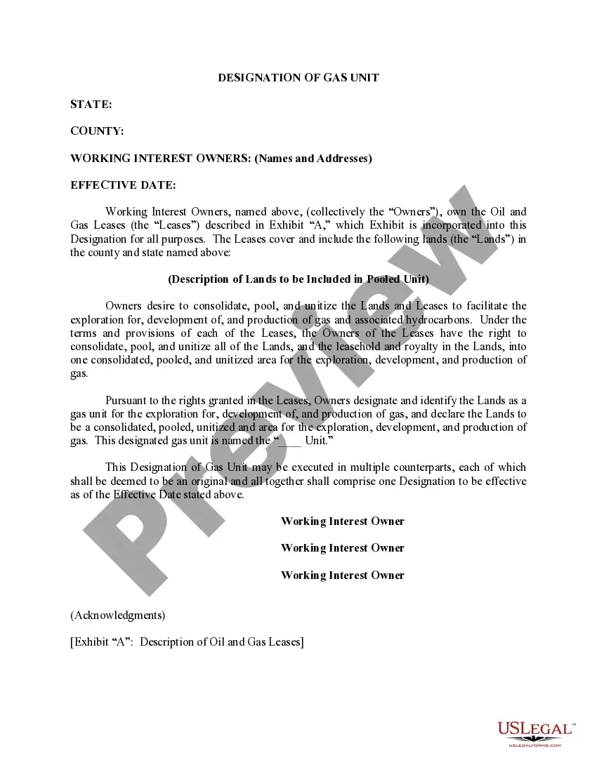
Hawaii Correction to Unit Designation to Correct Depth
Description

Get your form ready online
Our built-in tools help you complete, sign, share, and store your documents in one place.
Make edits, fill in missing information, and update formatting in US Legal Forms—just like you would in MS Word.
Download a copy, print it, send it by email, or mail it via USPS—whatever works best for your next step.
Sign and collect signatures with our SignNow integration. Send to multiple recipients, set reminders, and more. Go Premium to unlock E-Sign.
If this form requires notarization, complete it online through a secure video call—no need to meet a notary in person or wait for an appointment.
We protect your documents and personal data by following strict security and privacy standards.

Make edits, fill in missing information, and update formatting in US Legal Forms—just like you would in MS Word.

Download a copy, print it, send it by email, or mail it via USPS—whatever works best for your next step.

Sign and collect signatures with our SignNow integration. Send to multiple recipients, set reminders, and more. Go Premium to unlock E-Sign.

If this form requires notarization, complete it online through a secure video call—no need to meet a notary in person or wait for an appointment.

We protect your documents and personal data by following strict security and privacy standards.
Looking for another form?


How to fill out Correction To Unit Designation To Correct Depth?
US Legal Forms - among the most significant libraries of legitimate types in the States - offers a wide range of legitimate papers themes you may obtain or printing. Making use of the web site, you can get a large number of types for business and person purposes, sorted by types, states, or keywords.You will find the most up-to-date models of types like the Hawaii Correction to Unit Designation to Correct Depth within minutes.
If you already have a subscription, log in and obtain Hawaii Correction to Unit Designation to Correct Depth from your US Legal Forms library. The Obtain key can look on each and every form you perspective. You get access to all in the past saved types within the My Forms tab of your own accounts.
If you wish to use US Legal Forms the very first time, listed here are straightforward instructions to help you get began:
- Make sure you have picked out the best form for your personal area/county. Click the Preview key to review the form`s content. Browse the form description to ensure that you have chosen the proper form.
- In the event the form does not fit your demands, take advantage of the Search area near the top of the monitor to obtain the the one that does.
- If you are content with the shape, confirm your decision by visiting the Purchase now key. Then, select the costs strategy you favor and offer your accreditations to sign up for the accounts.
- Process the transaction. Make use of bank card or PayPal accounts to perform the transaction.
- Find the format and obtain the shape in your device.
- Make adjustments. Fill up, change and printing and indication the saved Hawaii Correction to Unit Designation to Correct Depth.
Every single design you added to your account lacks an expiry time and is also yours for a long time. So, if you wish to obtain or printing yet another version, just proceed to the My Forms section and then click on the form you require.
Gain access to the Hawaii Correction to Unit Designation to Correct Depth with US Legal Forms, by far the most substantial library of legitimate papers themes. Use a large number of expert and express-particular themes that meet your organization or person requirements and demands.