Georgia Boundary Line Agreement (Short Form)
Description


How to fill out Boundary Line Agreement (Short Form)?
Choosing the right authorized record format can be a have difficulties. Of course, there are a variety of themes available on the Internet, but how can you get the authorized form you require? Use the US Legal Forms web site. The support delivers a huge number of themes, including the Georgia Boundary Line Agreement (Short Form), which can be used for enterprise and personal demands. All the types are checked by pros and meet state and federal demands.
If you are previously authorized, log in in your profile and then click the Acquire switch to find the Georgia Boundary Line Agreement (Short Form). Utilize your profile to search with the authorized types you have ordered earlier. Go to the My Forms tab of the profile and have another backup of the record you require.
If you are a whole new user of US Legal Forms, listed here are basic instructions for you to adhere to:
- Very first, ensure you have selected the right form for your personal city/county. You are able to examine the shape while using Preview switch and look at the shape description to ensure it will be the best for you.
- If the form is not going to meet your requirements, utilize the Seach field to get the correct form.
- Once you are certain that the shape is proper, go through the Get now switch to find the form.
- Choose the costs program you would like and enter in the needed details. Build your profile and buy an order utilizing your PayPal profile or credit card.
- Choose the submit file format and download the authorized record format in your device.
- Comprehensive, change and printing and indicator the received Georgia Boundary Line Agreement (Short Form).
US Legal Forms is definitely the most significant local library of authorized types for which you can find numerous record themes. Use the company to download expertly-made papers that adhere to status demands.
Form popularity
FAQ
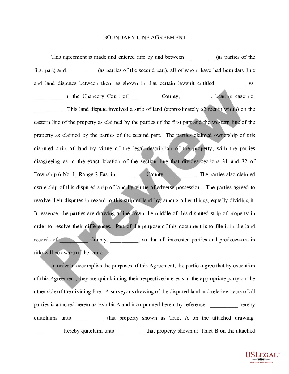
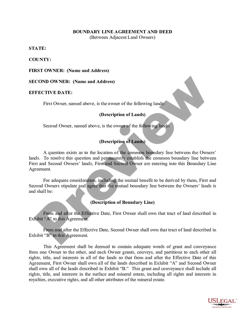
They are disputes between neighboring owners of real estate. These disputes concern the property boundary lines and whether either owner has the right to extend beyond their legal property lines. Often times these disputes arise shortly after someone purchases property.
Simply put, a boundary line agreement is an agreement between two owners of adjacent parcels of land whereby the owners agree on the precise location of an otherwise unclear common boundary.
A boundary line agreement is a legally binding document that sets clear boundaries between neighboring properties, providing certainty and preventing conflicts.
Property lines, or boundary lines, define the points where properties begin and end. These boundaries are used when installing features such as fences, pools and home additions.
Legal descriptions use the county, district, and land lot followed by a metes and bounds description of the property in a plat of survey. A plat is a cadastral map, drawn to scale, showing the divisions of a piece of land. Over time, a civic address may change; however, a legal description remains the same.
")