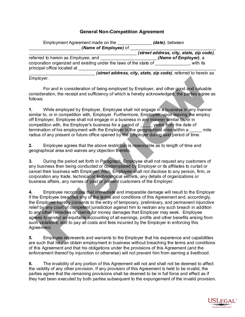
This lease rider form may be used when you are involved in a lease transaction, and have made the decision to utilize the form of Oil and Gas Lease presented to you by the Lessee, and you want to include additional provisions to that Lease form to address specific concerns you may have, or place limitations on the rights granted the Lessee in the “standard” lease form.
Pennsylvania Geophysical and Seismic Operations
Category:
State:
Multi-State
Control #:
US-OG-800
Format:
Word;
Rich Text
Instant download
Description
Free preview


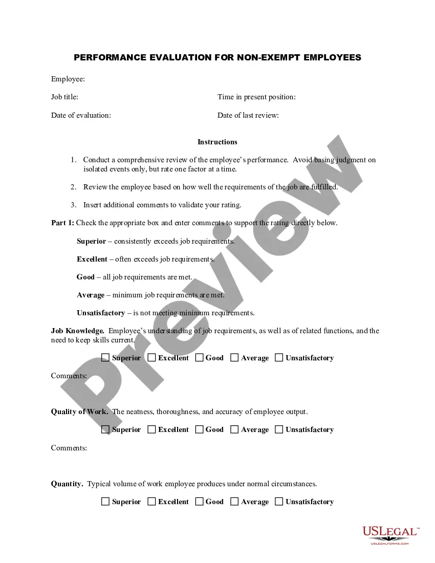
How to fill out Geophysical And Seismic Operations?
You can commit hours on the Internet looking for the legal record design that suits the state and federal needs you need. US Legal Forms supplies thousands of legal types which are evaluated by pros. It is possible to download or print out the Pennsylvania Geophysical and Seismic Operations from our services.
If you already have a US Legal Forms account, you are able to log in and click the Download key. After that, you are able to comprehensive, revise, print out, or sign the Pennsylvania Geophysical and Seismic Operations. Each and every legal record design you acquire is yours eternally. To get one more duplicate of the bought type, check out the My Forms tab and click the corresponding key.
If you use the US Legal Forms web site initially, keep to the straightforward guidelines below:
- First, make sure that you have selected the right record design for the area/metropolis of your choosing. Browse the type explanation to ensure you have picked out the correct type. If accessible, utilize the Review key to check from the record design at the same time.
- If you want to locate one more version of your type, utilize the Lookup industry to discover the design that meets your needs and needs.
- Upon having found the design you desire, click on Acquire now to move forward.
- Select the rates plan you desire, enter your credentials, and register for a merchant account on US Legal Forms.
- Total the purchase. You can utilize your credit card or PayPal account to pay for the legal type.
- Select the structure of your record and download it in your device.
- Make changes in your record if necessary. You can comprehensive, revise and sign and print out Pennsylvania Geophysical and Seismic Operations.
Download and print out thousands of record themes utilizing the US Legal Forms Internet site, which offers the biggest variety of legal types. Use skilled and status-distinct themes to tackle your business or person requires.
Form popularity
FAQ
While the majority of the earthquakes are small, there have been moderate size earthquakes in the past, such as the September 25, 1998 magnitude 5.2 Pymatuning earthquake. In southeastern Pennsylvania, the majority of earthquakes have occurred in the Lancaster Seismic Zone (LSZ) (Armbruster and Seeber, 1987).
Earthquakes in Pennsylvania occur primarily in the northwestern and southeastern portions of the state. However, earthquakes have also occurred sporadically in other parts of Pennsylvania.
One of these faults is called the Ramapo Fault Line. ing to Columbia University, this fault is part of a system of north-east striking, southeast-dipping faults, which are mapped from southeastern New York to eastern Pennsylvania and beyond.
In 1998, the largest earthquake ever recorded in Pennsylvania occurred in the region of Pymatuning Lake in the northwestern part of the state. The 5.2-magnitude earthquake caused minor structural damage but had significant effects on the local groundwater system.
The Ramapo Fault forms the boundary between the Newark Basin and the Highlands, running from Haverstraw, New York to near Schaefferstown, Pennsylvania. The Newark Basin, an aborted rift valley created during the breakup of Pangaea, consists of sedimentary and volcanic rocks from the Triassic and early Jurassic.
Pennsylvania lies in the middle of the North American plate. The eastern edge of the plate is found at the mid-oceanic ridge in the Atlantic Ocean, so we have no plate boundaries in sight.
In the area you have selected (Pennsylvania) earthquake hazard is classified as very low ing to the information that is currently available.
The uplift of the continent, which resulted in the Ancestral Rocky Mountains, caused transition to a more extensive terrestrial environment during the Pennsylvanian Period. Swamp forests and terrestrial habitats became more common and widespread.