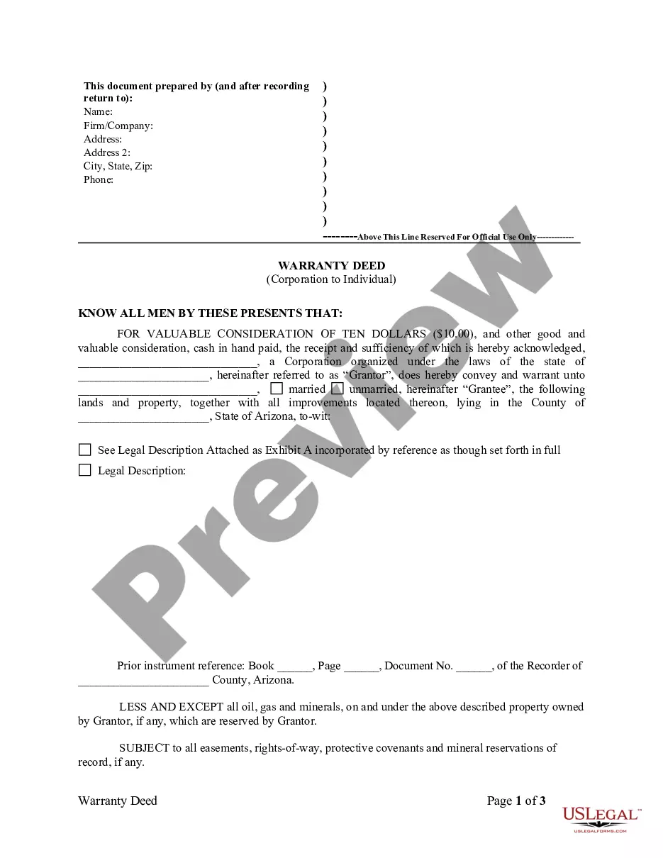
Property or Boundary Line Agreement
Understanding this form
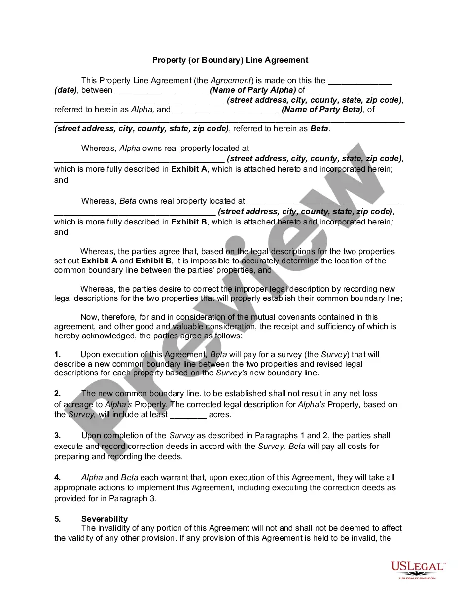
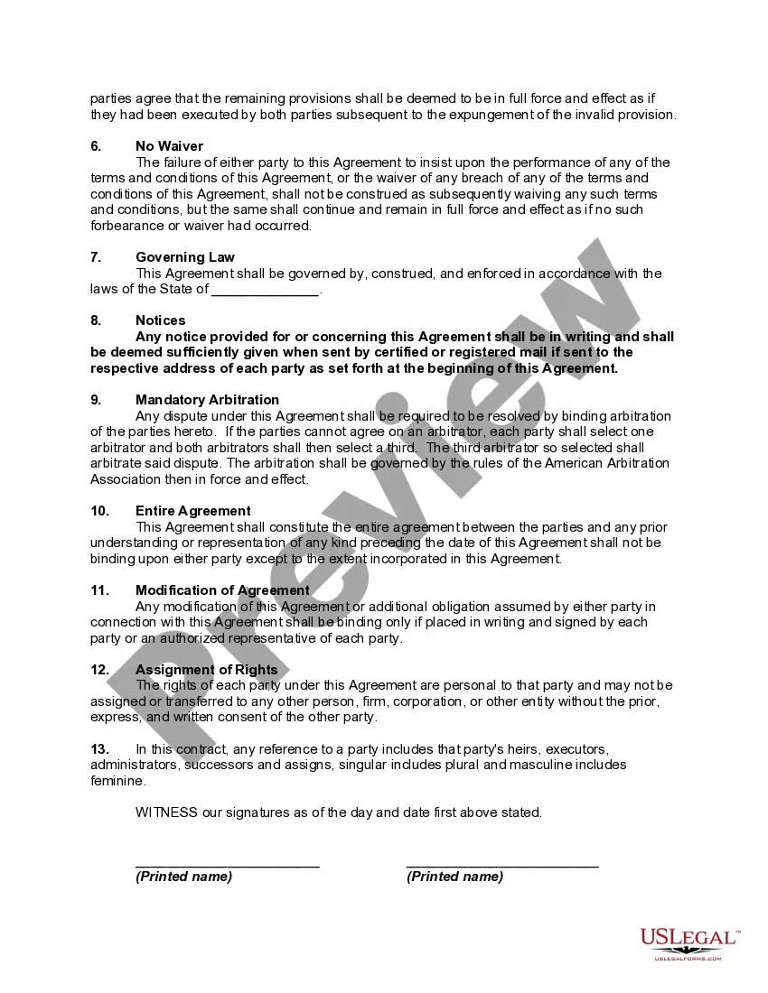
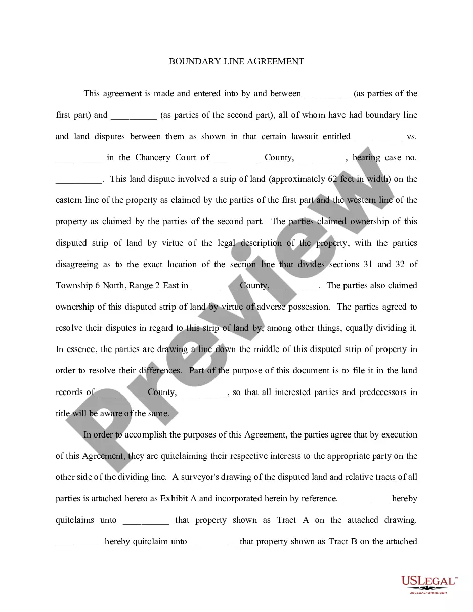
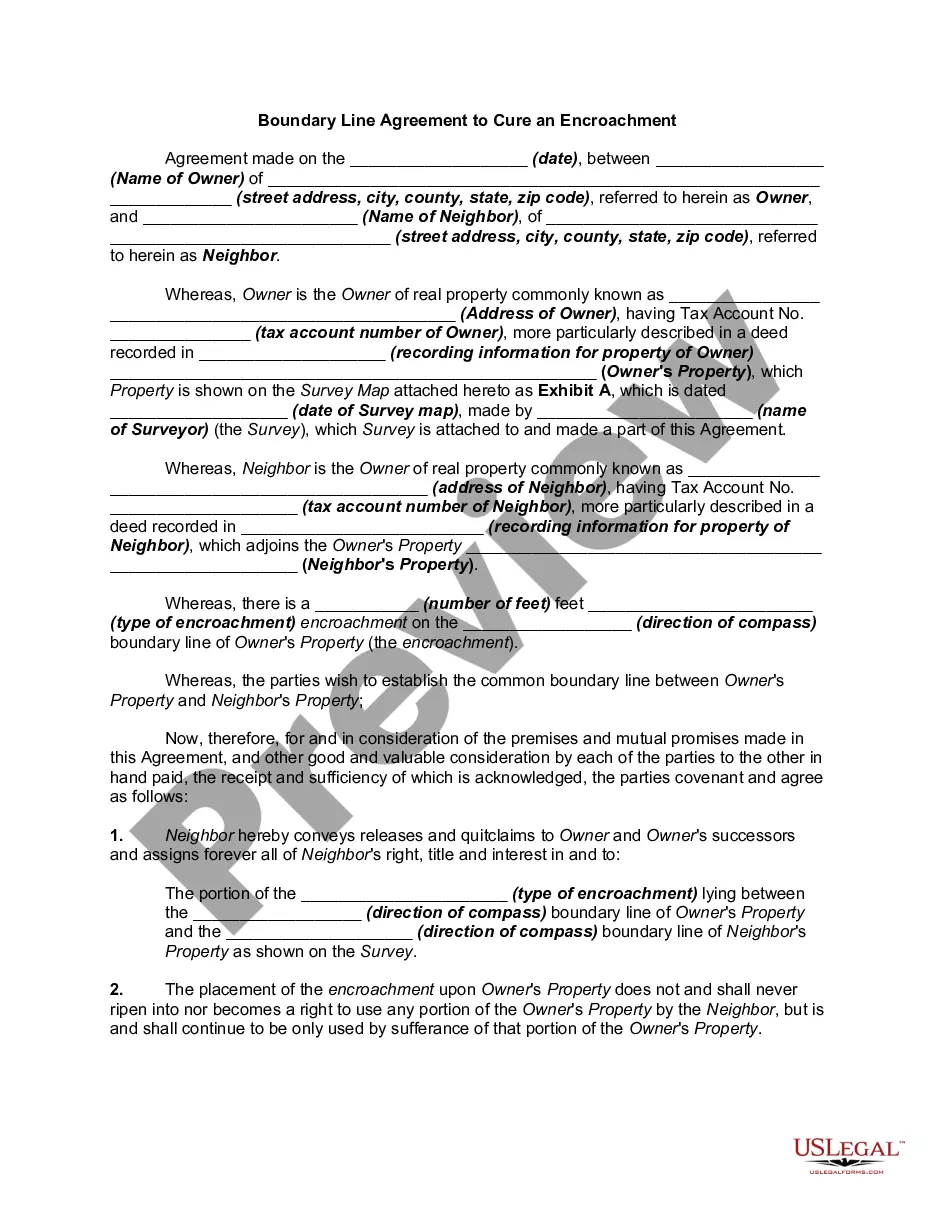
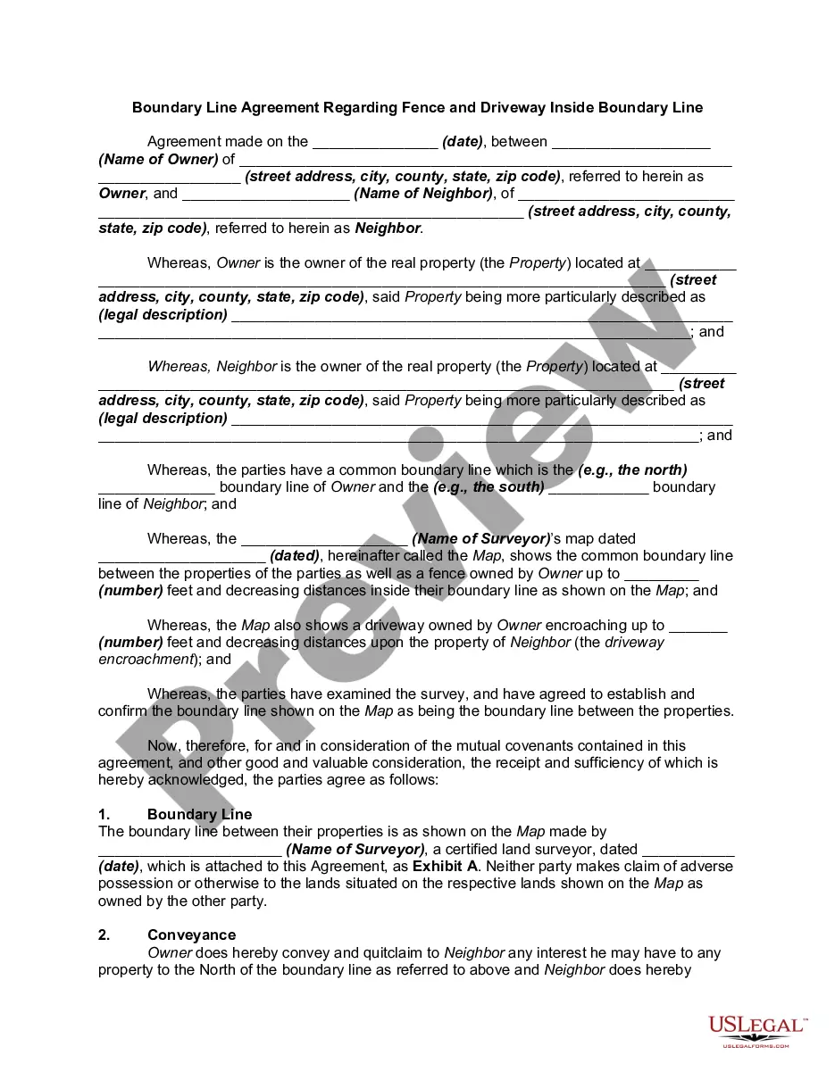
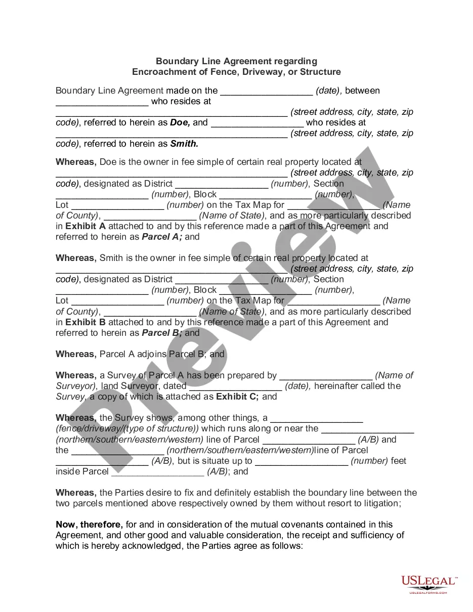
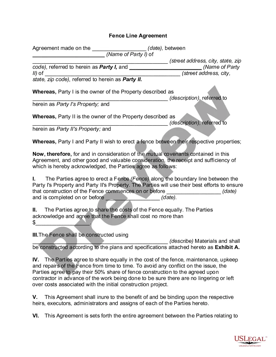
The Property or Boundary Line Agreement is a legal document used to define the boundaries between two adjacent properties. It becomes necessary when the exact location of the common boundary line is unclear or disputed. This agreement helps both parties correct legal descriptions and establishes a clear, mutually agreed-upon boundary between their properties. This form is essential for property owners who want to resolve boundary issues amicably without resorting to litigation.
Key parts of this document
- Details of the parties involved, including names and addresses.
- Legal descriptions for each property as defined in attached exhibits.
- Agreement on conducting a survey to determine the common boundary line.
- Obligations regarding the payment of survey and recording expenses.
- Severability and governing law clauses for legal clarity.
Situations where this form applies
This form should be used when neighboring property owners are unsure about the exact placement of their boundary line. It is especially useful in situations where previous surveys have been inaccurate or conflicting information exists regarding property lines. If you are considering making changes to your land or planning any construction that may affect the boundary, this agreement can help prevent disputes.
Who should use this form
- Property owners engaged in boundary disputes.
- Individuals buying or selling adjacent properties with unclear boundaries.
- Neighbors looking to clarify property lines before making improvements.
- Anyone seeking a legally binding agreement to define boundary lines amicably.
How to complete this form
- Identify the parties involved by filling in their names and addresses.
- Specify and attach legal descriptions of both properties in Exhibits A and B.
- Outline the agreed-upon arrangements for conducting a boundary survey.
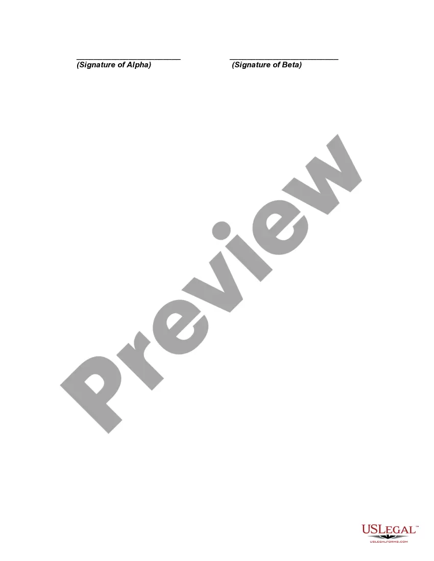
- Enter the date of the agreement and ensure signatures are provided by both parties.
- Review all sections to ensure clarity and understanding before finalizing.
Is notarization required?
To make this form legally binding, it must be notarized. Our online notarization service, powered by Notarize, lets you verify and sign documents remotely through an encrypted video session.
Get your form ready online
Our built-in tools help you complete, sign, share, and store your documents in one place.
Make edits, fill in missing information, and update formatting in US Legal Forms—just like you would in MS Word.
Download a copy, print it, send it by email, or mail it via USPS—whatever works best for your next step.
Sign and collect signatures with our SignNow integration. Send to multiple recipients, set reminders, and more. Go Premium to unlock E-Sign.
If this form requires notarization, complete it online through a secure video call—no need to meet a notary in person or wait for an appointment.
We protect your documents and personal data by following strict security and privacy standards.
Make edits, fill in missing information, and update formatting in US Legal Forms—just like you would in MS Word.
Download a copy, print it, send it by email, or mail it via USPS—whatever works best for your next step.
Sign and collect signatures with our SignNow integration. Send to multiple recipients, set reminders, and more. Go Premium to unlock E-Sign.

If this form requires notarization, complete it online through a secure video call—no need to meet a notary in person or wait for an appointment.
We protect your documents and personal data by following strict security and privacy standards.
Common mistakes to avoid
- Failing to accurately describe property boundaries in the exhibits.
- Not obtaining signatures from both parties, making the agreement invalid.
- Ignoring state-specific requirements that could affect enforceability.
- Assuming an agreement is binding without proper notarization if required.
Benefits of completing this form online
- Convenient access to downloadable and editable legal templates.
- Expertly drafted forms by licensed attorneys, ensuring legal accuracy.
- Ability to fill out and customize the agreement to meet specific needs easily.
- Time-saving compared to traditional methods of procuring legal documents.
Legal use & context
- This agreement is legally binding once signed by both parties and can be enforced in court.
- It allows for clear documentation of property boundaries and can be used in legal disputes as evidence of intention.
- Properly recording this agreement with local authorities will ensure public notice of the established boundaries.
Looking for another form?
Form popularity
FAQ
Red is the uniform color for electric power lines; orange for communications; yellow for gas, oil and steam; green for sewers and drain lines; and blue for water. White is used for proposed excavation limits or routes, and pink is used for temporary survey markings.
1. Side and Rear Yards. Yard structures under six feet in height may be located up to a side or rear property line subject to building code and fire code limitations. Yard structures six feet in height or over shall be located at least three feet from any property line and shall not exceed 12 feet in height.
Property boundaries are often identified above ground with the use of stakes to mark the corner points. Years ago, wooden stakes were often used to mark property lines. More recently, long metal posts that are visible about 1 to 2 feet above ground have been used.
The doctrine provides that when two adjacent owners who are uncertain of the true position of the common boundary between the parcels agree to the true position of the common boundary, mark it on the ground or build it up, and occupy each side for a period equal to the statute of limitations, then such line becomes the
The title plan will only show you the general boundaries of the property.
If you decide to hire a licensed land surveyor, he or she will come out to your land and place markers that mark the boundary lines of your property. You can find a listing of licensed land surveyors in your area by simply consulting your local phone book or the internet.
The three most commonly used markings are the simple stakes, flags and pins. These surveyor symbols are common to any construction project and guarantee that everything gets put in the right place.
Orange fencing. Orange fencing is used to mark the perimeter of the build site. Objective: Transfer drawings to real land. Establish basic location of the house. Establish the house orientation. Establish north wall position. Iterative process. Mark building edges and driveway with stakes. Join the stakes with colored string.
Taking the details from the legal description and plat map, a surveyor carefully measures the legal boundaries of your property. The surveyor will bury survey pins if they're not already there and often mark the spots with stakes or flags for easy use.