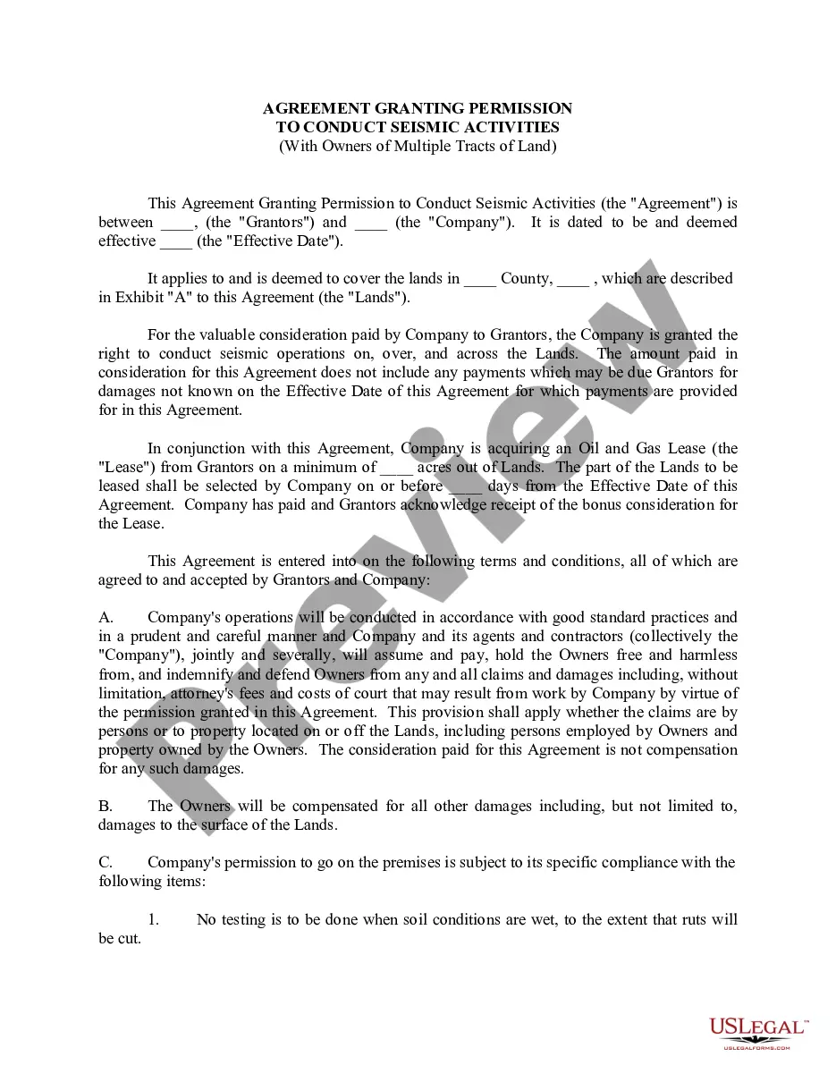
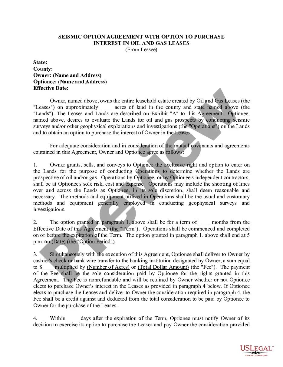
Wisconsin Seismic Agreement Allowing Third Party to Conduct Seismic Operation on Grantor's Lease
Description


How to fill out Seismic Agreement Allowing Third Party To Conduct Seismic Operation On Grantor's Lease?
You can devote hours on the Internet looking for the authorized document design which fits the federal and state requirements you will need. US Legal Forms provides a large number of authorized varieties that happen to be reviewed by experts. You can actually download or print the Wisconsin Seismic Agreement Allowing Third Party to Conduct Seismic Operation on Grantor's Lease from my support.
If you already possess a US Legal Forms accounts, it is possible to log in and click on the Down load button. Following that, it is possible to comprehensive, revise, print, or signal the Wisconsin Seismic Agreement Allowing Third Party to Conduct Seismic Operation on Grantor's Lease. Each authorized document design you buy is your own property for a long time. To have an additional duplicate associated with a purchased kind, go to the My Forms tab and click on the corresponding button.
If you work with the US Legal Forms internet site initially, follow the basic recommendations beneath:
- Initially, make certain you have selected the best document design to the state/town that you pick. See the kind information to make sure you have selected the correct kind. If available, utilize the Preview button to search with the document design as well.
- If you would like get an additional version from the kind, utilize the Search discipline to discover the design that meets your requirements and requirements.
- When you have found the design you desire, click on Buy now to continue.
- Pick the costs program you desire, enter your references, and sign up for your account on US Legal Forms.
- Comprehensive the deal. You should use your credit card or PayPal accounts to pay for the authorized kind.
- Pick the formatting from the document and download it in your product.
- Make adjustments in your document if necessary. You can comprehensive, revise and signal and print Wisconsin Seismic Agreement Allowing Third Party to Conduct Seismic Operation on Grantor's Lease.
Down load and print a large number of document layouts utilizing the US Legal Forms web site, which provides the biggest collection of authorized varieties. Use professional and state-distinct layouts to handle your small business or specific demands.
Form popularity
FAQ
Seismic testing involves blasting the seafloor with high-powered airguns (a kind of powerful horn) every 10 seconds and measuring the echoes with long tubes to map offshore oil and gas reserves. These blasts disturb, injure and kill marine wildlife around the clock for years on end.
Seismic surveys are conducted by deploying an array of energy sources and an array of sensors or receivers in an area of interest. Figure 3.9 shows a seismic survey on land.
Seismic methods involve measuring the propagation of seismic waves through earth materials. In seismic surveys, seismic waves radiate outward from a sound source at the surface, which can be an explosive charge or a mechanical impact.
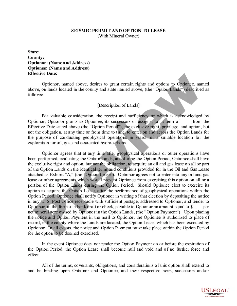
Seismic Option or "Option" means an agreement which entitles a Party to conduct 3-D Seismic Operations on a portion of the Contract Lands with an option to acquire a Lease covering all or a portion of such lands.
Researchers stick rows of geophones in the ground then create a seismic wave. They then use specialized software to create images from the recorded data to identify different types of rock layers, faults, and other geologic structures. Multiple geophones are deployed during each seismic study.
Generally speaking, there are three phases of a seismic project: Acquisition. Processing. Interpretation.