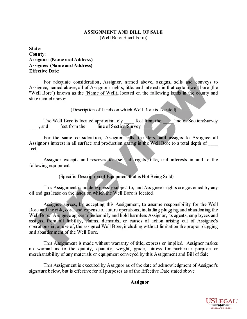
Colorado Legal Description and Well or Unit Information
Description

Form popularity
FAQ
What are the methods of description? There are three common methods used to describe real estate: metes and bounds, government survey, and lot and block.
The three types of legal descriptions you're likely to encounter include: Metes and bounds. Rectangular Survey System (also known as Public Land Survey System or government survey method) Plat method or lot and block method.
There are 3 types of legal descriptions: Metes and bounds. Government survey system (also called the rectangular method or the U.S. System of Rectangular Surveys) Plat of survey method (also called the 'recorded plat method' and the 'lot and block method'
A metes and bounds legal description starts from a point of beginning, then traces the outline of the property's boundary lines until there is closure in the legal description. Natural monuments and artificial monuments can both be used as metes and bounds. For example, rivers, roads, trees, etc.
Metes and bounds landmarks are often used in a ?legal description? of a land. Legal description is the geographical description of a land that identifies its precise location, and is kept with the deed of the land.
Rationale: Lot and block, also known as recorded plat legal descriptions are most commonly used in heavily populated areas and subdivisions.
The most common methods used to create legal descriptions are rectangular survey, metes and bounds, and the lot and block systems.
The three types of legal descriptions you're likely to encounter include: Metes and bounds. Rectangular Survey System (also known as Public Land Survey System or government survey method) Plat method or lot and block method.
Before you sit down to read your legal description there are a few things you should know?. There are three different formats of legal descriptions: rectangular survey system ? also known as sectional ground, lot and block, and metes and bounds.
The three types of legal descriptions you're likely to encounter include: Metes and bounds. Rectangular Survey System (also known as Public Land Survey System or government survey method) Plat method or lot and block method.