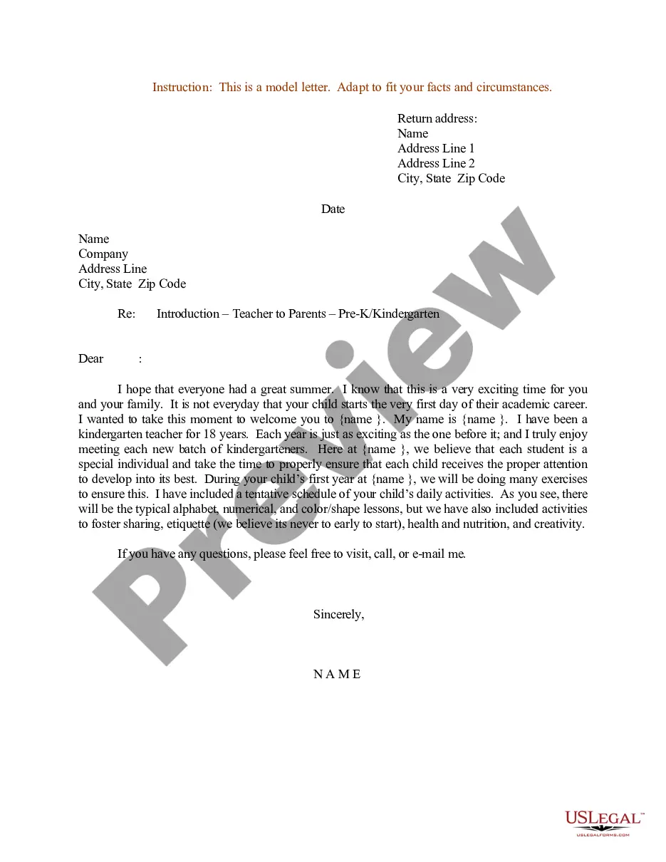
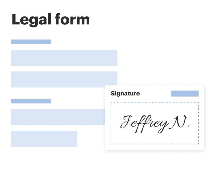
This form provides that any Party may propose that geoscience operations be conducted on the Contract Area lands. The Party wishing to conduct geoscience operations shall furnish the other Parties with an information notice which generally describes the proposed geoscience operation.
Washington Geoscience Operations on the Contract Area
Category:
State:
Multi-State
Control #:
US-OG-705
Format:
Word;
Rich Text
Instant download
Description
Free preview


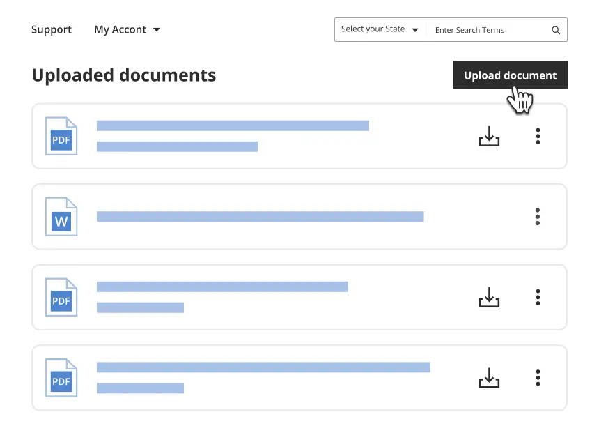
Get your form ready online
Our built-in tools help you complete, sign, share, and store your documents in one place.
Built-in online Word editor
Make edits, fill in missing information, and update formatting in US Legal Forms—just like you would in MS Word.
Export easily
Download a copy, print it, send it by email, or mail it via USPS—whatever works best for your next step.
E-sign your document
Sign and collect signatures with our SignNow integration. Send to multiple recipients, set reminders, and more. Go Premium to unlock E-Sign.
Notarize online 24/7
If this form requires notarization, complete it online through a secure video call—no need to meet a notary in person or wait for an appointment.
Store your document securely
We protect your documents and personal data by following strict security and privacy standards.
Make edits, fill in missing information, and update formatting in US Legal Forms—just like you would in MS Word.
Download a copy, print it, send it by email, or mail it via USPS—whatever works best for your next step.
Sign and collect signatures with our SignNow integration. Send to multiple recipients, set reminders, and more. Go Premium to unlock E-Sign.
If this form requires notarization, complete it online through a secure video call—no need to meet a notary in person or wait for an appointment.
We protect your documents and personal data by following strict security and privacy standards.
Looking for another form?


How to fill out Geoscience Operations On The Contract Area?
Choosing the right authorized file format can be quite a battle. Naturally, there are a variety of layouts available on the net, but how would you find the authorized type you need? Utilize the US Legal Forms site. The support delivers a large number of layouts, such as the Washington Geoscience Operations on the Contract Area, that you can use for organization and private needs. All of the varieties are examined by pros and meet state and federal specifications.
Should you be previously registered, log in in your accounts and click on the Download key to get the Washington Geoscience Operations on the Contract Area. Make use of your accounts to appear with the authorized varieties you possess ordered previously. Visit the My Forms tab of your respective accounts and have yet another version of your file you need.
Should you be a brand new user of US Legal Forms, listed here are simple directions so that you can adhere to:
- Initially, make certain you have selected the proper type for the town/county. You may look over the shape using the Review key and read the shape information to guarantee it is the best for you.
- When the type will not meet your requirements, make use of the Seach industry to get the proper type.
- When you are sure that the shape is suitable, click on the Purchase now key to get the type.
- Pick the prices prepare you would like and enter the needed details. Create your accounts and pay money for your order making use of your PayPal accounts or credit card.
- Pick the file file format and down load the authorized file format in your product.
- Full, revise and print and signal the acquired Washington Geoscience Operations on the Contract Area.
US Legal Forms may be the largest library of authorized varieties where you will find a variety of file layouts. Utilize the company to down load appropriately-manufactured paperwork that adhere to state specifications.
Form popularity
FAQ
Examples of public works projects include: Roads, highways, buildings, structures and improvements where construction, reconstruction, major renovation or painting is carried on or contracted for by an agency to serve the public interest.
WSDOT was founded as the Washington State Highway Board and the Washington State Highways Department on March 13, 1905, when then-governor Albert Mead signed a bill that allocated $110,000 to fund new roads that linked the state.
The Small Works Roster (SWR) is a listing of approved State of Washington licensed contractors that organizations can use to send small bid opportunities by contractor type, type of work, and project location. It: is used for projects under $350,000. makes it easier for contractors to compete for public works projects.
Contract Scope: Washington Statewide Contract 02616 was created to offer competitive pricing for Ammunition for eligible law enforcement agencies in Washington State. The objective is to facilitate and support the delivery of the highest quality products for training and active use.
Report a fraudulent or unregistered contractor online, or call the Report-a-Fraud line at 1-888-811-5974.
Public works in general means: Construction, alteration, demolition, installation, or repair work done under contract and paid in whole or in part out of public funds. It can include preconstruction and post-construction activities related to a public works project.
RCW 39.04. 010(4) defines "public work" as: [A]ll work, construction, alteration, repair, or improvement other than ordinary maintenance, executed at the cost of the state or of any municipality, or which is by law a lien or charge on any property therein. ?
The Public Works Department is responsible for planning, designing, constructing, operating, and maintaining the county's infrastructure: public roads, transportation systems, bridges, water, wastewater, drainage, and solid waste disposal systems.