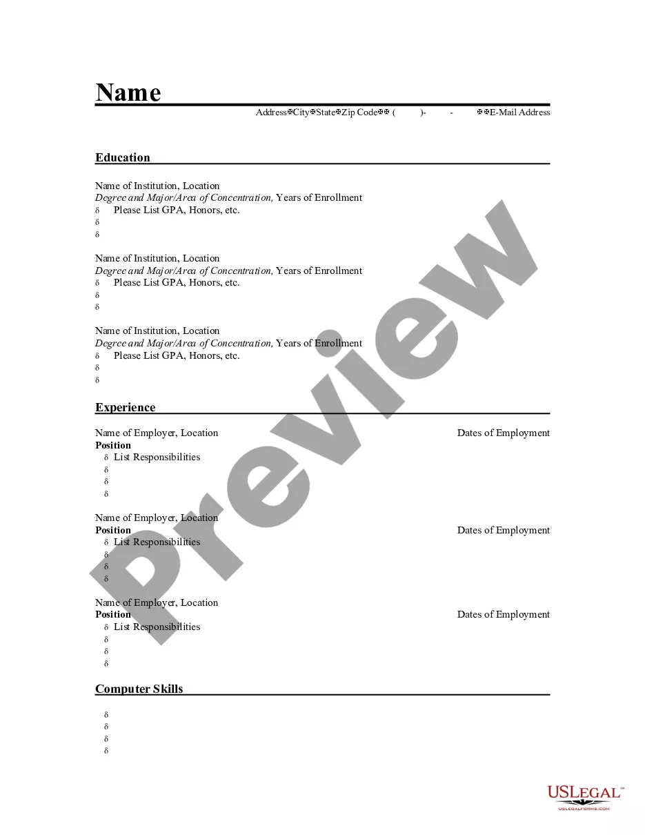
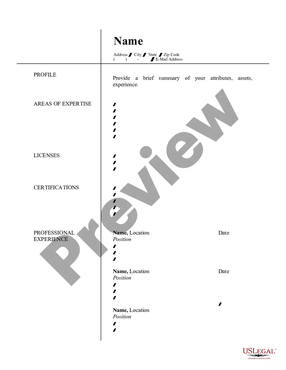
Montana Resume for Land Surveyor
Description


How to fill out Resume For Land Surveyor?
US Legal Forms - one of the largest collections of legal documents in the USA - provides a vast selection of legal form templates that you can obtain or print. By using the website, you can find thousands of forms for commercial and personal use, organized by categories, states, or keywords. You will quickly find the latest versions of forms such as the Montana Resume for Land Surveyor.
If you possess a membership, Log In and obtain the Montana Resume for Land Surveyor from the US Legal Forms library. The Download button will be visible on every form you encounter. You have access to all previously saved forms in the My documents section of your account.
If you are looking to use US Legal Forms for the first time, here are some simple steps to get you started: Make sure you have selected the correct form for your state/region. Click the Preview button to review the contents of the form. Check the form summary to ensure you have chosen the right one. If the form does not meet your needs, utilize the Search field at the top of the page to find one that does. If you are happy with the form, confirm your choice by clicking the Download now button. Then, select the payment plan you prefer and provide your information to register for an account. Complete the transaction. Use your credit card or PayPal account to finalize the purchase. Choose the format and download the form to your device. Make edits. Complete, modify, print, and sign the downloaded Montana Resume for Land Surveyor. Each template you add to your account does not have an expiration date and is yours indefinitely. Thus, if you need to obtain or print another copy, simply visit the My documents section and click on the form you require.
US Legal Forms offers a convenient way to obtain essential legal documents tailored to your specific needs.
Take advantage of the extensive library of templates and ensure compliance with your legal requirements.
- Access the Montana Resume for Land Surveyor with US Legal Forms, possibly the most comprehensive collection of legal document templates.
- Utilize a multitude of professional and state-specific templates that align with your business or personal requirements.
- Find the latest versions of various legal forms quickly and efficiently.
- Easily manage your saved forms and access them whenever needed.
- Enjoy the benefits of having a permanent collection of templates at your disposal.
- Experience a user-friendly interface for searching and accessing legal forms.
Form popularity
FAQ
A professional summary for a surveyor outlines your relevant experience and technical capabilities. It should convey your knowledge of land measurement, boundary determination, and project management. For example, you could say, 'Dedicated surveyor with comprehensive experience in land development projects, adept at collaborating with engineers and architects to deliver precise survey data.' Having a well-defined summary can significantly enhance your Montana Resume for Land Surveyor, making it stand out in the competitive job market.
A professional summary for a land surveyor encapsulates your key qualifications and experiences. It should clearly communicate your expertise in conducting land surveys, interpreting data, and utilizing modern technology. For instance, you might write, 'Experienced land surveyor specializing in environmental assessments and urban development projects, equipped with a solid understanding of surveying principles and practices.' This summary positions you as a valuable candidate for potential employers seeking a Montana Resume for Land Surveyor.
To excel as a land surveyor, you need a combination of technical and soft skills. Key technical skills include proficiency in surveying instruments, understanding of geographic information systems (GIS), and knowledge of legal regulations related to land use. Additionally, strong communication skills and attention to detail are essential, as they help in conveying complex information clearly to clients and stakeholders. A well-crafted Montana Resume for Land Surveyor can effectively present these skills to potential employers.
A strong professional summary for a Montana Resume for Land Surveyor should highlight your experience, skills, and achievements in the field. For example, you could state, 'Detail-oriented land surveyor with over five years of experience in boundary surveys, topographic surveys, and construction staking. Proficient in using advanced surveying equipment and software, and committed to ensuring accuracy and compliance with local regulations.' This summary provides clarity and showcases your expertise.
In Montana, the average salary for a land surveyor typically ranges between $60,000 and $80,000 per year. However, this can differ based on factors like years of experience and the complexity of projects. For those looking to improve their earning potential, crafting a strong Montana Resume for Land Surveyor can play a crucial role in securing higher-paying opportunities.
The highest salary for a land surveyor can vary significantly based on experience, location, and specialization. In some cases, experienced land surveyors can earn upwards of $100,000 annually. To position yourself effectively, consider tailoring your Montana Resume for Land Surveyor to highlight your unique qualifications and achievements.
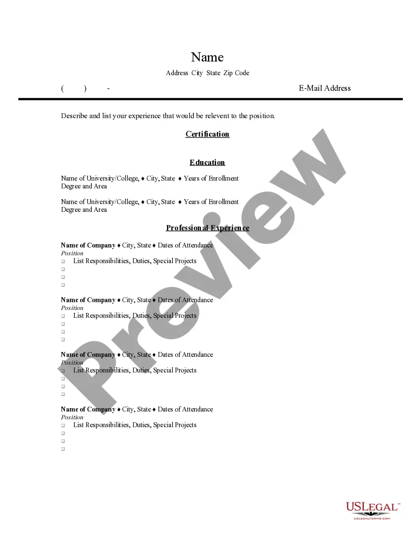
A land surveyor's resume should highlight key responsibilities such as conducting land surveys, preparing accurate maps, and ensuring compliance with legal regulations. Additionally, it should showcase skills in using surveying equipment and technologies. Including certifications and relevant experience will enhance your Montana Resume for Land Surveyor, making it more appealing to potential employers.
Becoming a land surveyor can be a rewarding career choice. This profession offers stable job opportunities and the chance to work outdoors while contributing to important projects. Additionally, with the right skills and a strong Montana Resume for Land Surveyor, you can achieve a competitive salary. Overall, if you enjoy working with technology and the outdoors, this career is certainly worth considering.
To become a land surveyor in Montana, you need to complete a relevant degree in surveying or a related field. After that, gain practical experience through internships or entry-level positions. Once you have the required experience, you can apply for the licensing exam. A well-crafted Montana Resume for Land Surveyor can help you stand out during your job applications and highlight your qualifications effectively.