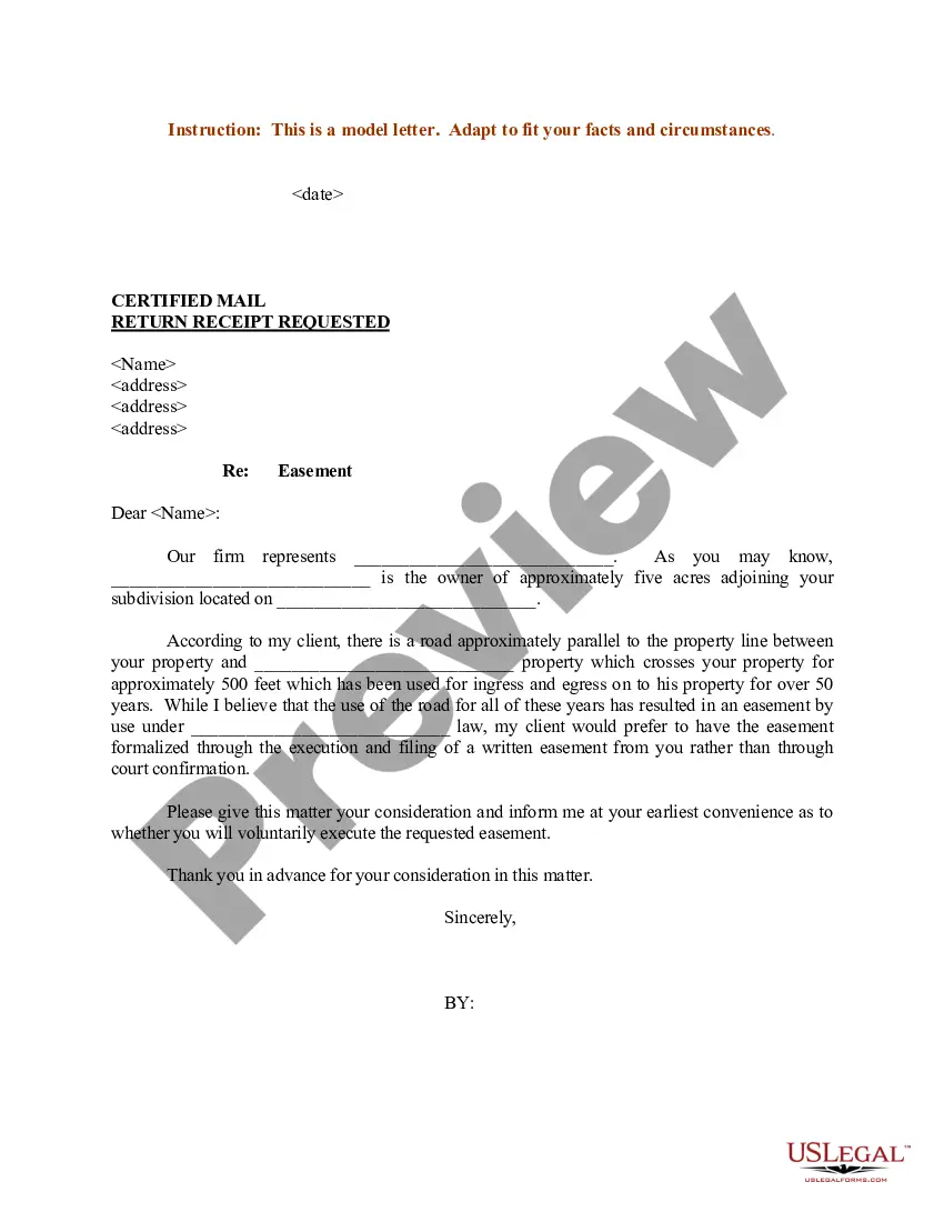
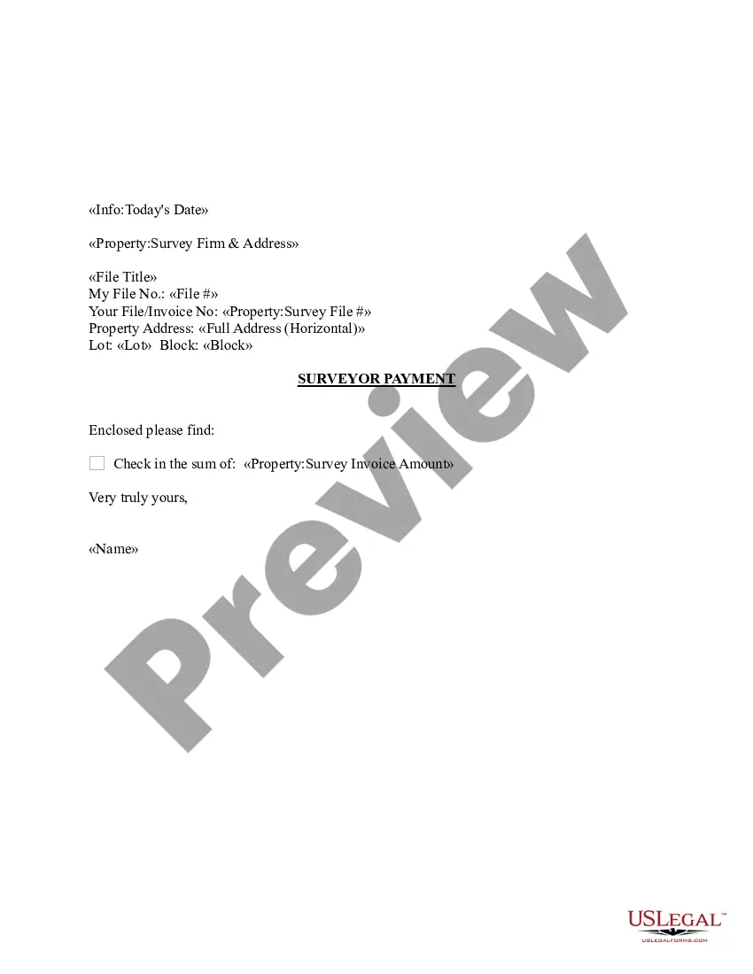
Arkansas Sample Letter regarding Survey Maps
Description
Get your form ready online
Our built-in tools help you complete, sign, share, and store your documents in one place.
Make edits, fill in missing information, and update formatting in US Legal Forms—just like you would in MS Word.
Download a copy, print it, send it by email, or mail it via USPS—whatever works best for your next step.
Sign and collect signatures with our SignNow integration. Send to multiple recipients, set reminders, and more. Go Premium to unlock E-Sign.
If this form requires notarization, complete it online through a secure video call—no need to meet a notary in person or wait for an appointment.
We protect your documents and personal data by following strict security and privacy standards.

Make edits, fill in missing information, and update formatting in US Legal Forms—just like you would in MS Word.

Download a copy, print it, send it by email, or mail it via USPS—whatever works best for your next step.

Sign and collect signatures with our SignNow integration. Send to multiple recipients, set reminders, and more. Go Premium to unlock E-Sign.

If this form requires notarization, complete it online through a secure video call—no need to meet a notary in person or wait for an appointment.

We protect your documents and personal data by following strict security and privacy standards.
Looking for another form?

How to fill out Sample Letter Regarding Survey Maps?
Have you been inside a position in which you need to have papers for either organization or individual functions almost every time? There are tons of legal papers layouts available on the net, but finding kinds you can rely on isn`t effortless. US Legal Forms delivers thousands of develop layouts, like the Arkansas Sample Letter regarding Survey Maps, that are published to meet federal and state demands.
Should you be previously familiar with US Legal Forms website and possess a free account, just log in. Afterward, you can obtain the Arkansas Sample Letter regarding Survey Maps template.
Unless you offer an account and need to begin to use US Legal Forms, follow these steps:
- Find the develop you will need and ensure it is for that appropriate metropolis/region.
- Take advantage of the Review option to check the form.
- Browse the information to actually have chosen the proper develop.
- When the develop isn`t what you`re searching for, take advantage of the Search discipline to obtain the develop that fits your needs and demands.
- When you obtain the appropriate develop, simply click Get now.
- Opt for the rates program you desire, fill in the specified info to produce your money, and pay money for your order utilizing your PayPal or bank card.
- Select a convenient file format and obtain your version.
Get all the papers layouts you have purchased in the My Forms menu. You can aquire a extra version of Arkansas Sample Letter regarding Survey Maps any time, if possible. Just click the needed develop to obtain or produce the papers template.
Use US Legal Forms, one of the most considerable selection of legal kinds, in order to save some time and steer clear of faults. The assistance delivers expertly made legal papers layouts that you can use for an array of functions. Produce a free account on US Legal Forms and commence creating your life a little easier.
Form popularity
FAQ
Boundary Surveys Measure Property Lines In contrast to something like a topographic survey, which measures terrain and elevation, a boundary survey measures distance.
An average land survey costs $200 to $1,200. A boundary survey costs $500 to $1,000 for one acre with prices of $70 to $140 per acre for sites from 50 to 100 acres. The cost of a property survey depends on the type, plot dimensions, and complexity of past records. Get free estimates from land surveyors near you.
How Much Does a House Survey Cost in 2023? Survey TypeAverage Surveyor FeeRICS Valuation£320RICS Level 1 Survey£380RICS Level 2 Survey£500RICS Level 3 Survey£800
Different types of land surveys have different purposes and costs. Fencing and subdivision surveys are the least expensive since they have a straightforward purpose and are aided by existing records. ALTA and new construction surveys are the most expensive because they're the most thorough.
A land survey costs $200 to $1,200 on average or $70 to $140 per acre for large land plots. An ALTA or ACSM survey costs $1,200 to $4,000 for a platted lot less than 10,000 sq.
For a rough idea of what you might have to pay, an average land survey is usually around $500. However, this price can easily rise to over $1,000 for a larger piece of land. To get a more accurate idea of the costs for your survey project, contact Scalice Land Surveyors for a free quote.