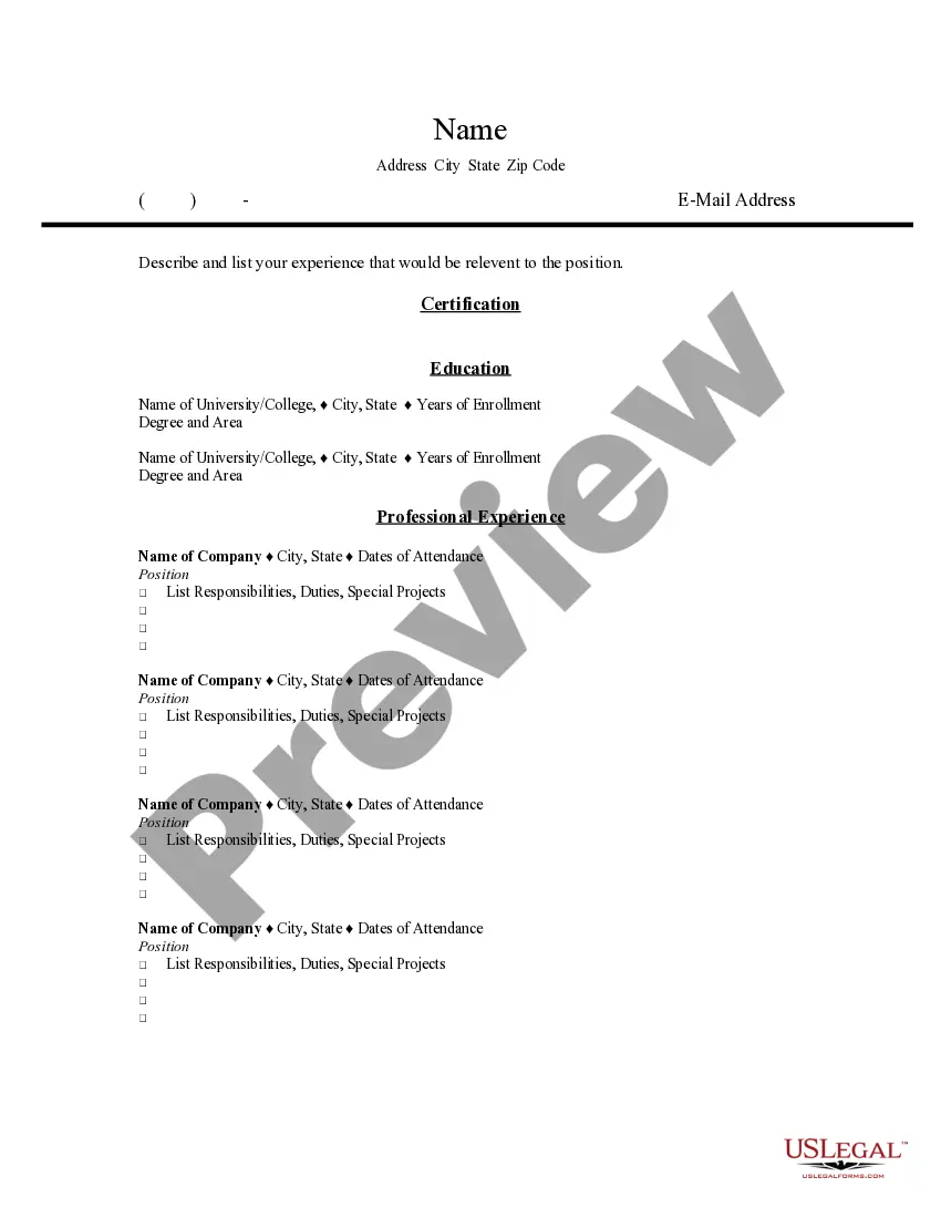
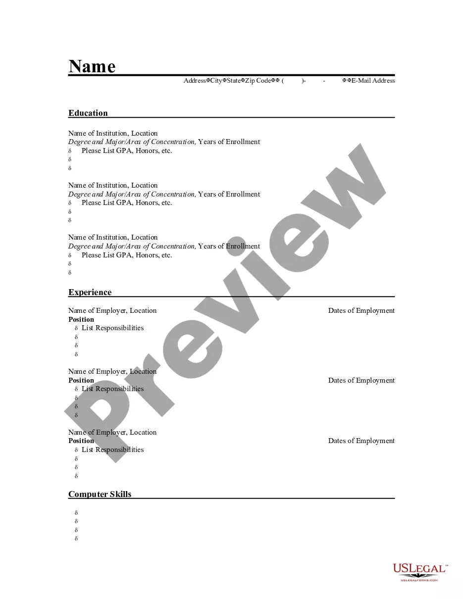
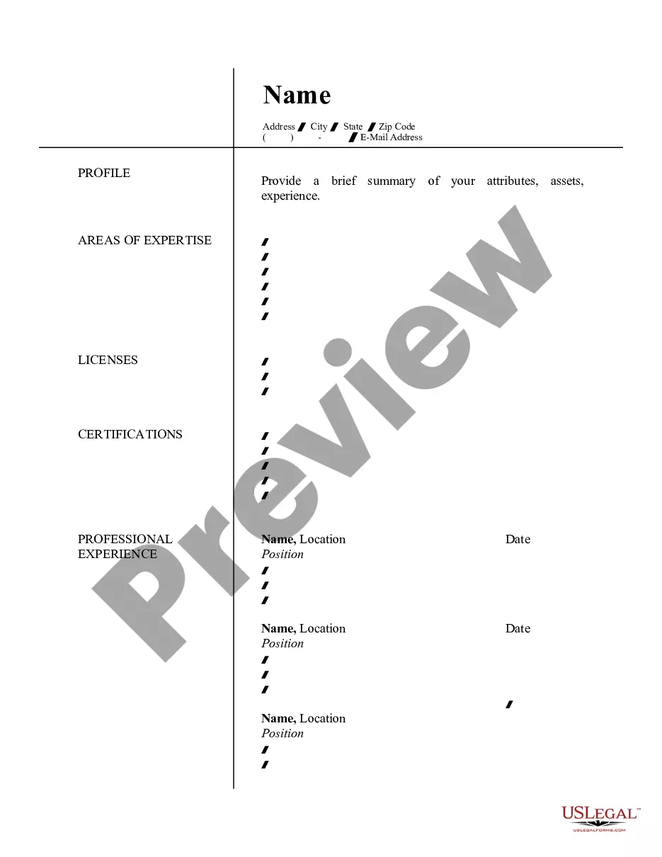
Alaska Resume for Land Surveyor
Description


How to fill out Resume For Land Surveyor?
You can spend countless hours online looking for the valid document template that meets both federal and state requirements. US Legal Forms provides thousands of valid templates that are evaluated by experts. It is easy to download or print the Alaska Resume for Land Surveyor from my assistance.
If you already possess a US Legal Forms account, you can Log In and then click the Download button. After that, you can fill out, edit, print, or sign the Alaska Resume for Land Surveyor. Every valid document template you purchase is yours permanently. To obtain another copy of any acquired form, visit the My documents tab and click the corresponding button.
If you are using the US Legal Forms website for the first time, follow the simple instructions below: First, ensure that you have selected the correct document template for the area/region of your choice. Review the form summary to confirm you have chosen the right template. If available, utilize the Preview button to view the document template simultaneously.
Utilize professional and state-specific templates to address your business or personal needs.
- To find another version of the form, use the Search field to locate the template that fits your needs.
- Once you have found the template you want, click Get now to proceed.
- Select the pricing plan you desire, enter your credentials, and register for an account on US Legal Forms.
- Complete the transaction. You can use your credit card or PayPal account to pay for the valid form.
- Choose the format of the document and download it to your device.
- Make changes to the document if necessary. You can fill out, edit, and sign and print the Alaska Resume for Land Surveyor.
- Download and print thousands of document templates using the US Legal Forms site, which offers the largest selection of valid templates.
Form popularity
FAQ
Becoming a land surveyor can be a rewarding career choice, especially in Alaska, where the demand for skilled professionals is significant. This field offers job stability, competitive salaries, and opportunities for advancement. Additionally, an Alaska Resume for Land Surveyor can help you stand out in a competitive job market, showcasing your qualifications and experience effectively. By utilizing platforms like US Legal Forms, you can create a professional resume that highlights your skills and enhances your chances of landing a job.
Land surveyors in Alaska typically earn higher wages than their counterparts in other states due to the unique geographical and logistical challenges of the region. Salaries can range widely, but experienced professionals often see salaries well above the national average. By crafting a tailored Alaska Resume for Land Surveyor, you can effectively present your qualifications, which may lead to higher earning potential in this rewarding field.
On a resume, a land surveyor should detail their responsibilities such as conducting land surveys, preparing maps, and ensuring compliance with regulations. It's important to highlight technical skills, project management experiences, and any certifications obtained. An effective Alaska Resume for Land Surveyor will not only showcase these duties but also emphasize accomplishments that demonstrate your value to potential employers.
To become a land surveyor in Alaska, you typically need a bachelor's degree in surveying or a related field. Additionally, gaining experience through internships or apprenticeships is crucial, followed by passing the necessary licensing exams. Crafting a strong Alaska Resume for Land Surveyor will highlight your educational background and relevant experience, helping you stand out in the job market.
The highest salary for a land surveyor can vary based on experience, location, and specialization. In Alaska, experienced land surveyors can earn significantly higher salaries compared to the national average due to the unique challenges and demands of the environment. By optimizing your Alaska Resume for Land Surveyor, you can showcase your skills and potentially command a higher salary.
A profile summary for a surveyor serves as an introduction in your resume, emphasizing your qualifications and experiences. It should briefly outline your expertise in surveying and any relevant certifications or licenses you hold. Including an Alaska Resume for Land Surveyor that features a compelling profile summary can attract potential employers by clearly presenting your skills and career objectives. This strategic approach enhances your chances of securing interviews and job opportunities.
To be a successful land surveyor, you need strong analytical skills, attention to detail, and proficiency in mathematics. Additionally, familiarity with surveying tools and software is essential for accuracy in measurements and data collection. An Alaska Resume for Land Surveyor should highlight these skills, showcasing your technical abilities and experience. This combination will help you stand out in a competitive job market.