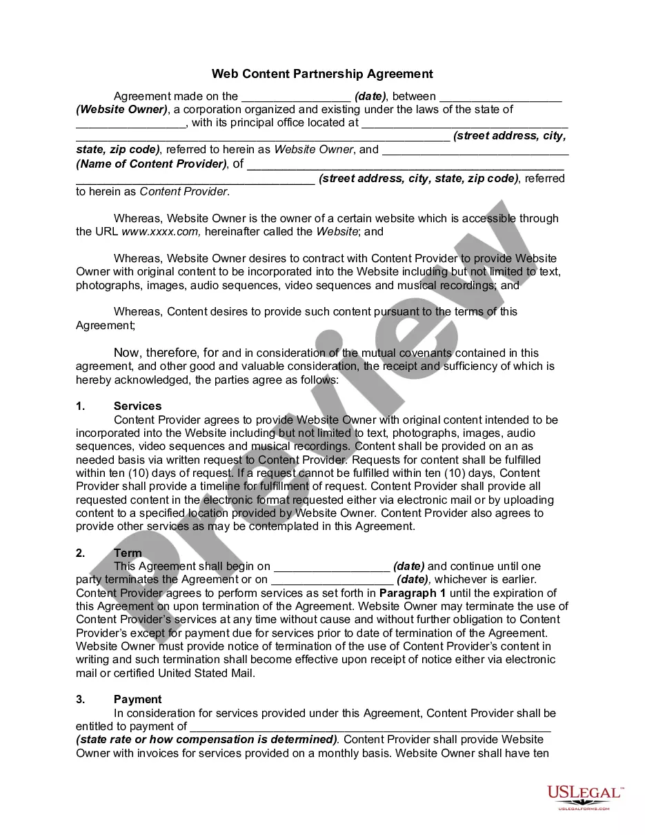
Survey Land Boundary Format
Description


Get your form ready online
Our built-in tools help you complete, sign, share, and store your documents in one place.
Make edits, fill in missing information, and update formatting in US Legal Forms—just like you would in MS Word.
Download a copy, print it, send it by email, or mail it via USPS—whatever works best for your next step.
Sign and collect signatures with our SignNow integration. Send to multiple recipients, set reminders, and more. Go Premium to unlock E-Sign.
If this form requires notarization, complete it online through a secure video call—no need to meet a notary in person or wait for an appointment.
We protect your documents and personal data by following strict security and privacy standards.

Make edits, fill in missing information, and update formatting in US Legal Forms—just like you would in MS Word.

Download a copy, print it, send it by email, or mail it via USPS—whatever works best for your next step.

Sign and collect signatures with our SignNow integration. Send to multiple recipients, set reminders, and more. Go Premium to unlock E-Sign.

If this form requires notarization, complete it online through a secure video call—no need to meet a notary in person or wait for an appointment.

We protect your documents and personal data by following strict security and privacy standards.
Looking for another form?
How to fill out Employment Of Surveyor By Adjoining Landowners To Locate Disputed Boundary Line?
Whether for corporate reasons or personal affairs, everyone must confront legal issues at some time in their life. Completing legal paperwork demands meticulous care, beginning with selecting the right form template. For instance, if you choose an incorrect version of the Survey Land Boundary Format, it will be declined upon submission. It is therefore crucial to obtain a trustworthy source of legal documents like US Legal Forms.
If you need to acquire a Survey Land Boundary Format template, adhere to these straightforward steps: Get the template you require by utilizing the search field or catalog navigation. Review the form’s details to confirm it corresponds with your situation, state, and county. Click on the form’s preview to observe it. If it is the wrong document, return to the search feature to find the Survey Land Boundary Format template you need. Obtain the template if it aligns with your requirements. If you possess a US Legal Forms account, simply click Log in to access previously saved documents in My documents. In the case that you don’t have an account yet, you may acquire the form by clicking Buy now. Select the suitable pricing option. Complete the account registration form. Choose your payment method: use a credit card or PayPal account. Select the document format you desire and download the Survey Land Boundary Format. Once it is saved, you can fill out the form using editing software or print it and complete it manually.
- With a vast US Legal Forms catalog available, you don’t need to waste time searching for the correct template across the internet.
- Utilize the library’s easy navigation to locate the appropriate form for any occasion.
Form popularity
FAQ
The five common types of survey measurements are horizontal distances and angles, vertical distances and angles, and slope distances. Angles and distances are measured relative to either a horizontal or vertical plane.
Rivers, mountain ranges, oceans, and deserts can all serve as physical boundaries. Many times, political boundaries between countries or states form along physical boundaries. For example, the boundary between France and Spain follows the peaks of the Pyrenees Mountains, while the Alps separate France from Italy.
Surveys just measure the boundaries of land. Surveys measure boundaries, locate improvements, and determine the existence of easements, encroachments and setbacks. Bare legal title lacks the usual rights and privileges of ownership.
There are two general divisions of coordinates used in surveying?polar coordinates and rectangular coordinates. These can each be subdivided into three classes: plane coordinates, spherical coordinates, and space coordinates.
Land Survey Measurement Units The basic unit is an acre. An acre equals a square 208.7 feet by 208.7 feet, 43,560 square feet, 160 square rods, or 10 square chains (10 x 66' x 66'). An acre is about the same area as a football field, including the end zones.