Boundary Lines For Project In San Diego
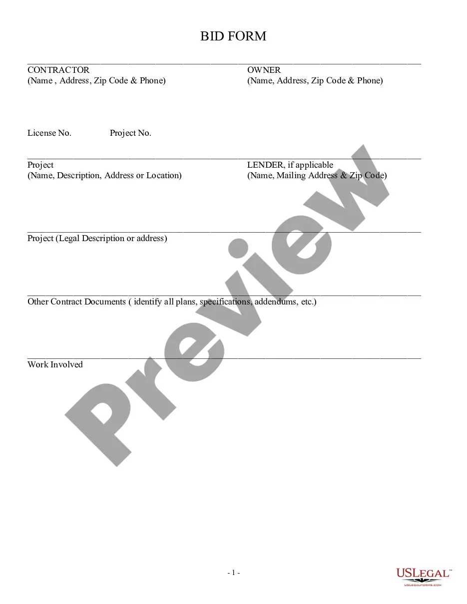
Description


Get your form ready online
Our built-in tools help you complete, sign, share, and store your documents in one place.
Make edits, fill in missing information, and update formatting in US Legal Forms—just like you would in MS Word.
Download a copy, print it, send it by email, or mail it via USPS—whatever works best for your next step.
Sign and collect signatures with our SignNow integration. Send to multiple recipients, set reminders, and more. Go Premium to unlock E-Sign.
If this form requires notarization, complete it online through a secure video call—no need to meet a notary in person or wait for an appointment.
We protect your documents and personal data by following strict security and privacy standards.

Make edits, fill in missing information, and update formatting in US Legal Forms—just like you would in MS Word.

Download a copy, print it, send it by email, or mail it via USPS—whatever works best for your next step.

Sign and collect signatures with our SignNow integration. Send to multiple recipients, set reminders, and more. Go Premium to unlock E-Sign.

If this form requires notarization, complete it online through a secure video call—no need to meet a notary in person or wait for an appointment.

We protect your documents and personal data by following strict security and privacy standards.
Looking for another form?

Form popularity
FAQ
Recorded easements may be shown on recorded maps, deeds, and occasionally on other recorded documents.
The County of San Diego Assessor's Office can provide information about any parcel of land located within the County of San Diego. The office can also be reached at 619-236-3771. Properties owned by the City of San Diego can be viewed on the Map of City-owned Land.
The San Diego County Recorder's records may show information regarding recorded easements, lis pendens, liens, etc. on a property that can be researched online on the Recorder's website or in person at the Downtown office at 1600 Pacific Highway, Room 103, San Diego, CA 92101.
ADU Setbacks in the City of San Diego In other words, you can technically build all the way up to the property line. If you build higher than 16′ or two story and the property line abuts another residentially zoned property, you must keep 4′ side & rear setbacks.
A Final Map or Parcel Map is the last step in the subdivision process and is required to finalize an approved Tentative Map (TM) and Tentative Parcel Map (TPM) and create saleable lots.
The City of San Diego has a Public Records Portal (NextRequest) that allows anyone to submit a request, correspond with City staff, and track requests online. The portal also allows users to search for published public records requests and documents.
Local governments apply setbacks to establish 'no-building zones' on the property. Another benefit of setbacks is that they keep harmful operations and traffic at bay. What's the definition of a setback? It's the smallest distance from the property line you should maintain when building structures.
The exact amount a building needs to be set back from the property line will vary from one location to another. However, the required setback on the side is typically between 5 – 10 feet, while the front and back require around 10 – 20 feet at a minimum.
Assessor Parcel Maps can be bought online, in person, or by mail. Note: Certified copies may only be obtained of complete documents and not for individual pages.
The Subdivision Process in San Diego Research and Due Diligence. Develop Required Documentation. Submit Subdivision Application. Review and Processing. Planning Commission or City Council Approval. Finalize Maps and Legal Documents. Record Documents. Infrastructure and Improvement Installation.
