Property Lines For My House In Los Angeles
Description

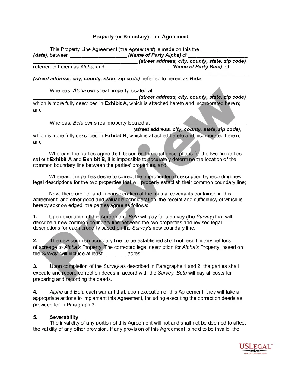
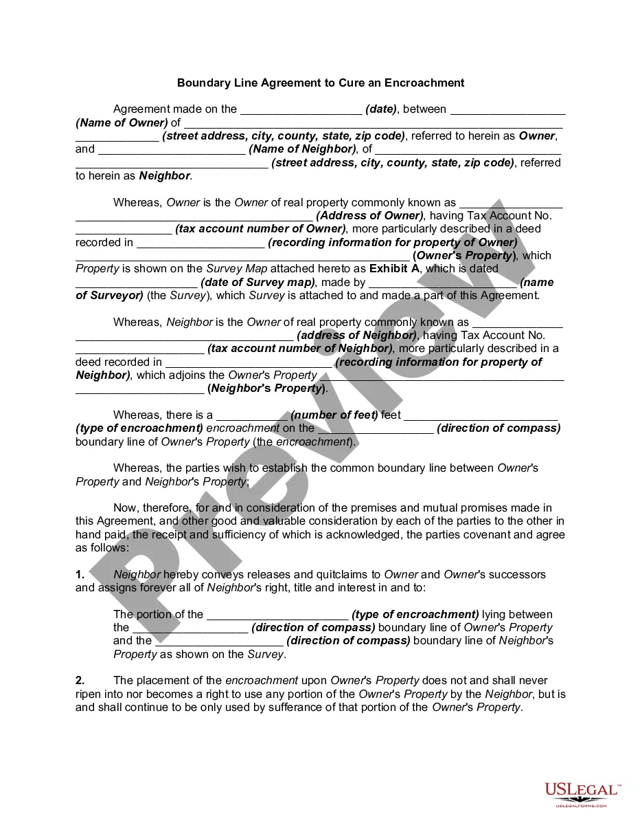
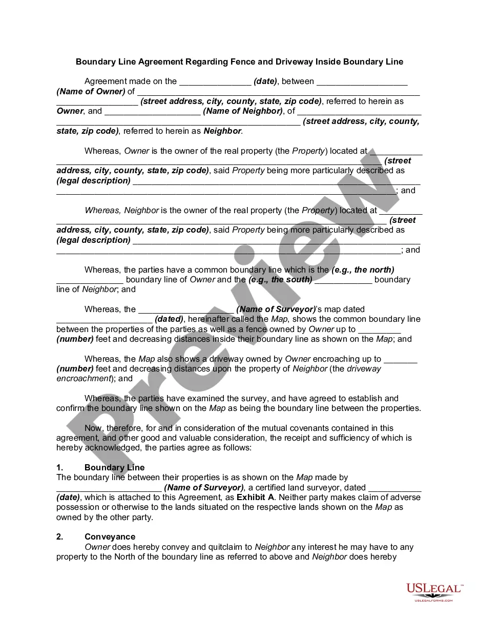
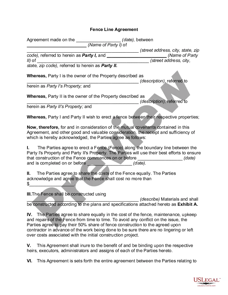
Get your form ready online
Our built-in tools help you complete, sign, share, and store your documents in one place.
Make edits, fill in missing information, and update formatting in US Legal Forms—just like you would in MS Word.
Download a copy, print it, send it by email, or mail it via USPS—whatever works best for your next step.
Sign and collect signatures with our SignNow integration. Send to multiple recipients, set reminders, and more. Go Premium to unlock E-Sign.
If this form requires notarization, complete it online through a secure video call—no need to meet a notary in person or wait for an appointment.
We protect your documents and personal data by following strict security and privacy standards.
Make edits, fill in missing information, and update formatting in US Legal Forms—just like you would in MS Word.
Download a copy, print it, send it by email, or mail it via USPS—whatever works best for your next step.
Sign and collect signatures with our SignNow integration. Send to multiple recipients, set reminders, and more. Go Premium to unlock E-Sign.
If this form requires notarization, complete it online through a secure video call—no need to meet a notary in person or wait for an appointment.
We protect your documents and personal data by following strict security and privacy standards.
Looking for another form?

Form popularity
FAQ
Here are the most common ways to find them: Check Google Maps. This one is the quickest and easiest way to establish where your property lines are. Hire a surveyor. Check online property records. Look for physical markers on your property. Check your property deed. Check a plat map. Review your property survey.
Your property lines are noted in a few different locations, including in the legal description for the lot, which would be on your property deed and on a plat map, typically available through your local assessor's office or planning office.
Hire a licensed land surveyor The most accurate way to know where your land begins and ends is to hire a surveyor to determine your property lines. The property surveyor will first check county records to understand the history of the lot.
Property lines can only be accurately located by having your property surveyed. For more information, and to verify the license of a surveyor, please refer to the California Board for Professional Engineers and Land Surveyors website.
What Is the Most Accurate App for Finding Property Lines? The Land id™ Discover plan is highly regarded for its accuracy in displaying property lines.
The Assessor's Office maintains many property records for assessment purposes. In ance with the California Public Records Act and the ordinances and policies of the County of Los Angeles, the public may request and inspect a reasonable identifiable record or records.
The ZIMAS application is designed to provide zoning related information for specific properties. You can search ZIMAS by: Property Address, Street Intersection, Assessor Parcel Number, Case Number, Community Plan Area, Council District, Certified Neighborhood Council, PIN Number, Legal Description, and MapSheet.
The Zone Information and Map Access System (ZIMAS) is a web-based mapping tool that provides zoning information for properties located in Los Angeles. ZIMAS was developed by City Planning to assist residents and businesses in making better informed land use decisions.
The front setback is commonly 10 feet, the sides four feet, and the back setback is 10 feet. The distance may also differ ing to the building type. It is imperative to determine the property line of your property before you put up any structures on it.
Where is my property line? Only a licensed Land Surveyor or Registered Civil Engineer licensed to practice surveying in the State of California can precisely locate property lines.