Boundary Lines In Pleasant Places In Chicago
Description

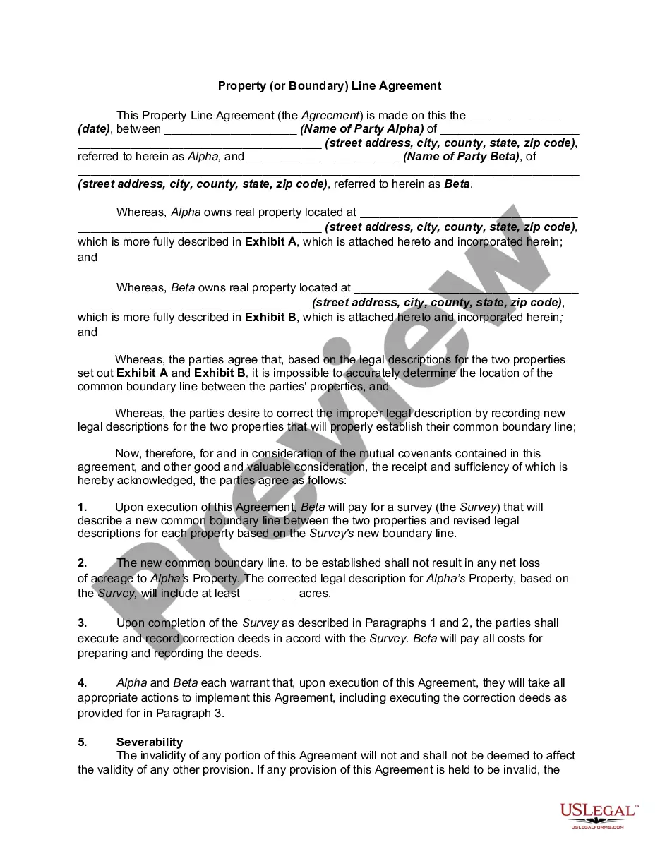
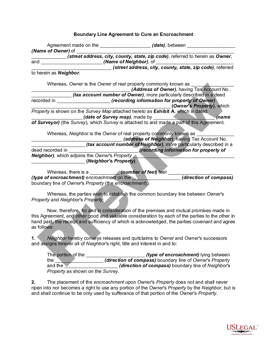
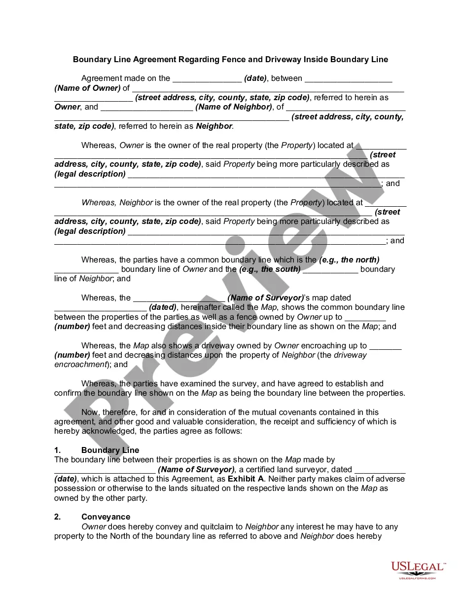
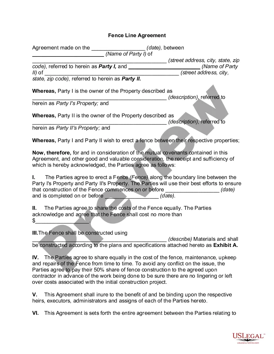
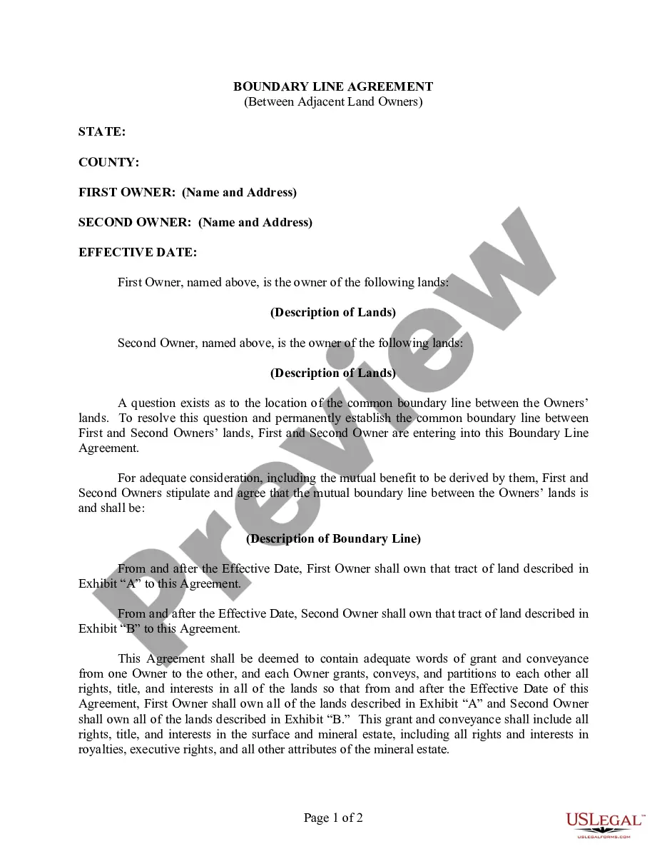
Get your form ready online
Our built-in tools help you complete, sign, share, and store your documents in one place.
Make edits, fill in missing information, and update formatting in US Legal Forms—just like you would in MS Word.
Download a copy, print it, send it by email, or mail it via USPS—whatever works best for your next step.
Sign and collect signatures with our SignNow integration. Send to multiple recipients, set reminders, and more. Go Premium to unlock E-Sign.
If this form requires notarization, complete it online through a secure video call—no need to meet a notary in person or wait for an appointment.
We protect your documents and personal data by following strict security and privacy standards.
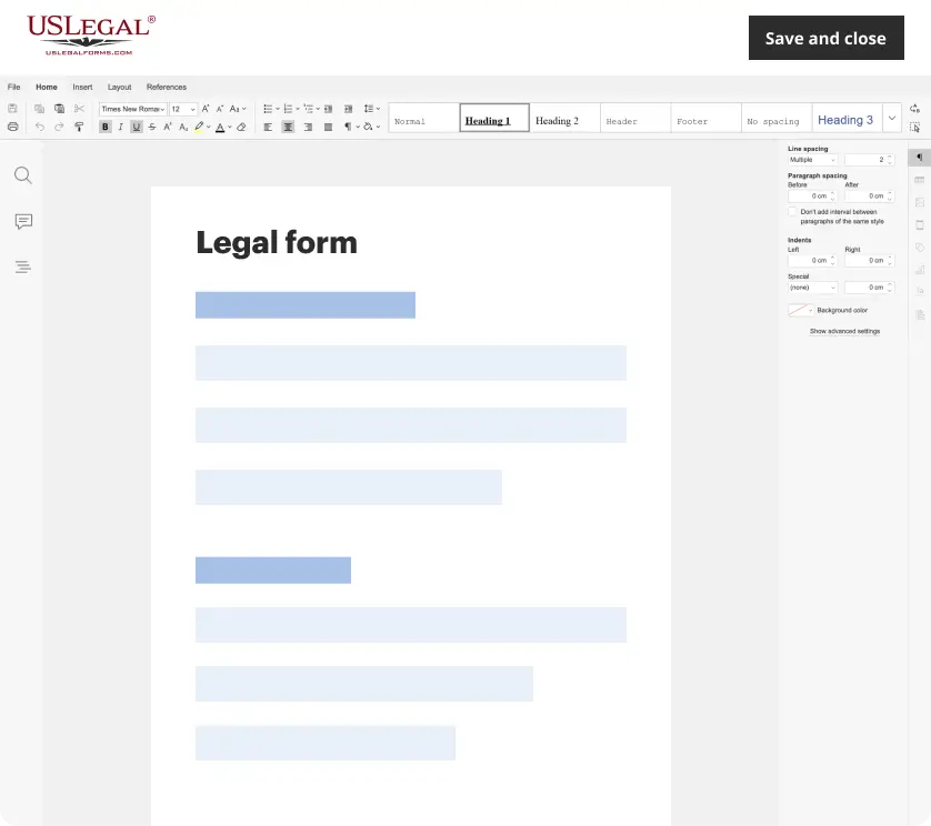
Make edits, fill in missing information, and update formatting in US Legal Forms—just like you would in MS Word.
Download a copy, print it, send it by email, or mail it via USPS—whatever works best for your next step.
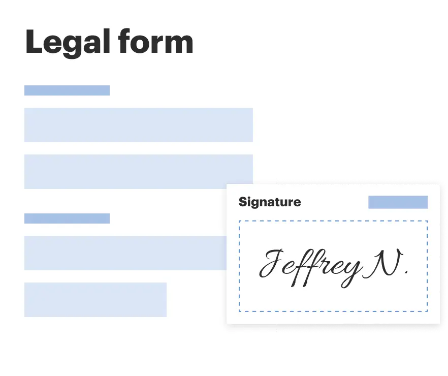
Sign and collect signatures with our SignNow integration. Send to multiple recipients, set reminders, and more. Go Premium to unlock E-Sign.
If this form requires notarization, complete it online through a secure video call—no need to meet a notary in person or wait for an appointment.
We protect your documents and personal data by following strict security and privacy standards.
Looking for another form?
Form popularity
FAQ
Request a Survey Chicago Guarantee Survey Company: 312-986-9445. Gremley and Biedermann, Inc.: 773-685-5102. James Schaeffer and Schimming, Inc.: 847-885-3322.
Uptown is one of Chicago's 77 community areas. Uptown's boundaries are Foster Avenue to the north; Lake Michigan to the east; Montrose Avenue, and Irving Park Road to the south; Ravenswood Avenue, and Clark Street to the west.
The City of Chicago covers an area of 60,000 hectares and sits 176 meters (578 feet) above sea level on the southwestern shore of Lake Michigan. At 190 km wide and 495 km long, its the 5th largest body of fresh water in the world. The city is traversed by the Chicago and Calumet rivers.
The Loop is bounded by Lake Street (north), Wabash Avenue (east), Van Buren Street (south), and Wells Street (west). The term Loop is now sometimes used to refer to downtown Chicago generally, particularly the area enclosed by the Chicago River, Michigan Avenue, and Congress Parkway.
On March 4, 1837, Chicago was incorporated as a city … of just 10 square miles. That's right, Chicago's original borders were tight: Lake Michigan to Wood Street, 22nd Street to North Avenue. (Yeah, that's why it's called North Avenue.) Today, Chicago is more than 230 square miles.
Chicago's eastern boundary is formed by Lake Michigan, and the city is divided by the Chicago River into three geographic sections: the North Side, the South Side and the West Side. These sections surround the city's compact downtown area – the Loop.
Chicago's eastern boundary is formed by Lake Michigan, and the city is divided by the Chicago River into three geographic sections: the North Side, the South Side and the West Side. These sections surround the city's compact downtown area – the Loop.
Your local county recorder or assessor's office will permit you to access public maps of your street, on which you can locate your property's boundary lines. In many counties in the Chicagoland area, including Cook County and Du Page County, you can access property maps online.
The western border is where the edge of the city meets the western suburbs of Oak Park and Cicero. These two suburbs border the communities of Austin, Lawndale, and Little Village.
Fuller Park is Community Area #37.