Modification Agreement For Mortgage In Hennepin
Description


Get your form ready online
Our built-in tools help you complete, sign, share, and store your documents in one place.
Make edits, fill in missing information, and update formatting in US Legal Forms—just like you would in MS Word.
Download a copy, print it, send it by email, or mail it via USPS—whatever works best for your next step.
Sign and collect signatures with our SignNow integration. Send to multiple recipients, set reminders, and more. Go Premium to unlock E-Sign.
If this form requires notarization, complete it online through a secure video call—no need to meet a notary in person or wait for an appointment.
We protect your documents and personal data by following strict security and privacy standards.

Make edits, fill in missing information, and update formatting in US Legal Forms—just like you would in MS Word.

Download a copy, print it, send it by email, or mail it via USPS—whatever works best for your next step.

Sign and collect signatures with our SignNow integration. Send to multiple recipients, set reminders, and more. Go Premium to unlock E-Sign.

If this form requires notarization, complete it online through a secure video call—no need to meet a notary in person or wait for an appointment.

We protect your documents and personal data by following strict security and privacy standards.
Looking for another form?


Form popularity
FAQ
After processing your application, which can take 90 days or longer, your lender may ask you to make a series of three trial payments. These payments are likely to be lower than your current payment amount, but may or may not reflect the payments proposed in a final mortgage modification offer.
You may come into the Recorder's Office and look at the official plat, order a copy online by entering the name of the plat instead of the document number, search for the property on LandShark GIS, search/download the plat using LandShark online searching, or contact the Public Works Department at 651-213-8700. 5.
How to File a Quitclaim Deed in Minnesota Step 1: Locate the Current Property Deed. Step 2: Find the Property's Legal Description. Step 3: Complete the Quitclaim Form. Step 4: Complete Disclosures. Step 5: Sign Before a Notary. Step 6: File the Deed With the County Recorder's Office.
Generally, once you've locked in a mortgage rate, the terms are fixed and usually cannot be renegotiated. However, some lenders offer a float down option, allowing you to negotiate mortgage rates if market conditions shift favorably during the rate lock-in period.
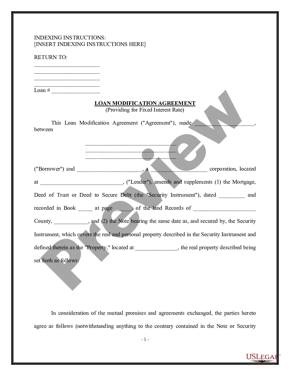
A mortgage modification changes the terms of your original mortgage agreement. Your lender will work with you to try and find a way to lower your monthly payment by adjusting the terms of your current mortgage. The goal is to help you get back on track.
You may come into the Recorder's Office and look at the official plat, order a copy online by entering the name of the plat instead of the document number, search for the property on LandShark GIS, search/download the plat using LandShark online searching, or contact the Public Works Department at 651-213-8700.
You may come into the Recorder's Office and look at the official plat, order a copy online by entering the name of the plat instead of the document number, search for the property on LandShark GIS, search/download the plat using LandShark online searching, or contact the Public Works Department at 651-213-8700.
Parcel boundary data, maps and ownership records are maintained at the county level, usually by the recorder's, assessor's or land surveyor's offices. Many Minnesota counties keep records in digital format and provide parcel information websites for use by the general public.