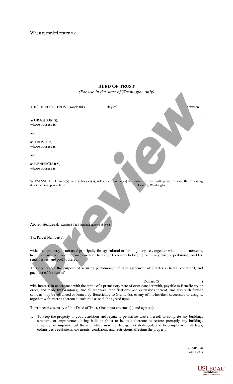
Easement Line On Survey
Description


Get your form ready online
Our built-in tools help you complete, sign, share, and store your documents in one place.
Make edits, fill in missing information, and update formatting in US Legal Forms—just like you would in MS Word.
Download a copy, print it, send it by email, or mail it via USPS—whatever works best for your next step.
Sign and collect signatures with our SignNow integration. Send to multiple recipients, set reminders, and more. Go Premium to unlock E-Sign.
If this form requires notarization, complete it online through a secure video call—no need to meet a notary in person or wait for an appointment.
We protect your documents and personal data by following strict security and privacy standards.

Make edits, fill in missing information, and update formatting in US Legal Forms—just like you would in MS Word.

Download a copy, print it, send it by email, or mail it via USPS—whatever works best for your next step.

Sign and collect signatures with our SignNow integration. Send to multiple recipients, set reminders, and more. Go Premium to unlock E-Sign.

If this form requires notarization, complete it online through a secure video call—no need to meet a notary in person or wait for an appointment.

We protect your documents and personal data by following strict security and privacy standards.
Looking for another form?


How to fill out Indiana Sewer Easement For Placement Of Line?
How to locate professional legal documents that comply with your state regulations and prepare the Easement Line On Survey without seeking assistance from a lawyer.
Numerous online services provide templates for various legal needs and formalities. However, finding samples that meet your specific use case and legal requirements may take time.
US Legal Forms is a trustworthy platform that assists you in finding formal documents created in line with the most recent state law revisions, helping you save on legal fees.
Review the page you have opened to ensure the form aligns with your requirements.
- US Legal Forms is not just an ordinary web archive. It features over 85,000 validated templates for diverse business and personal situations.
- All documents are organized by area and state to streamline your search experience.
- Furthermore, it integrates with advanced tools for PDF editing and e-signatures, allowing Premium subscribers to effortlessly complete their documents online.
- It requires minimal effort and time to obtain the required paperwork.
- If you already possess an account, Log In and verify that your subscription is current.
- Download the Easement Line On Survey by clicking the relevant button adjacent to the file name.
- If you do not have a US Legal Forms account, follow the instructions below.
Form popularity
FAQ
Each segment will contain numbers and letters indicating the direction from North that the line proceeds as well as the distance to the next point. For example, a segment may have the notation N 15° 302032 452033 E on one side of the line and the notation 166.252032 on the other side of the line.
A survey plat will usually contain information about the surveyor, a brief title of the document, data regarding its preparation, a legend identifying symbols on the plat, identification of adjoining property owners and a metes and bounds description of the property.
A direction that is expressed as a standard bearing is also based on a 360 degree circle but uses different points of reference. A bearing of N 60 degrees east means the direction is 60 degrees to the east of north. Likewise a bearing of S 15 degrees east means the direction is 15 degrees to the east of due south.
DEFINITIONS. A SURVEY LINE is a line produced on a cast by a surveyor or scribe marking the greatest prominence of contour in relation to the planned path of placement of a restoration.
One of the fundamental differences between ALTA land surveys and other types of surveys is that ALTA land surveys adhere to national standards known as Minimum Detail Standard Requirements established by both the American Land Title Association and the National Society of Professional Surveyors.