Sample Letter regarding Survey Maps
What this document covers
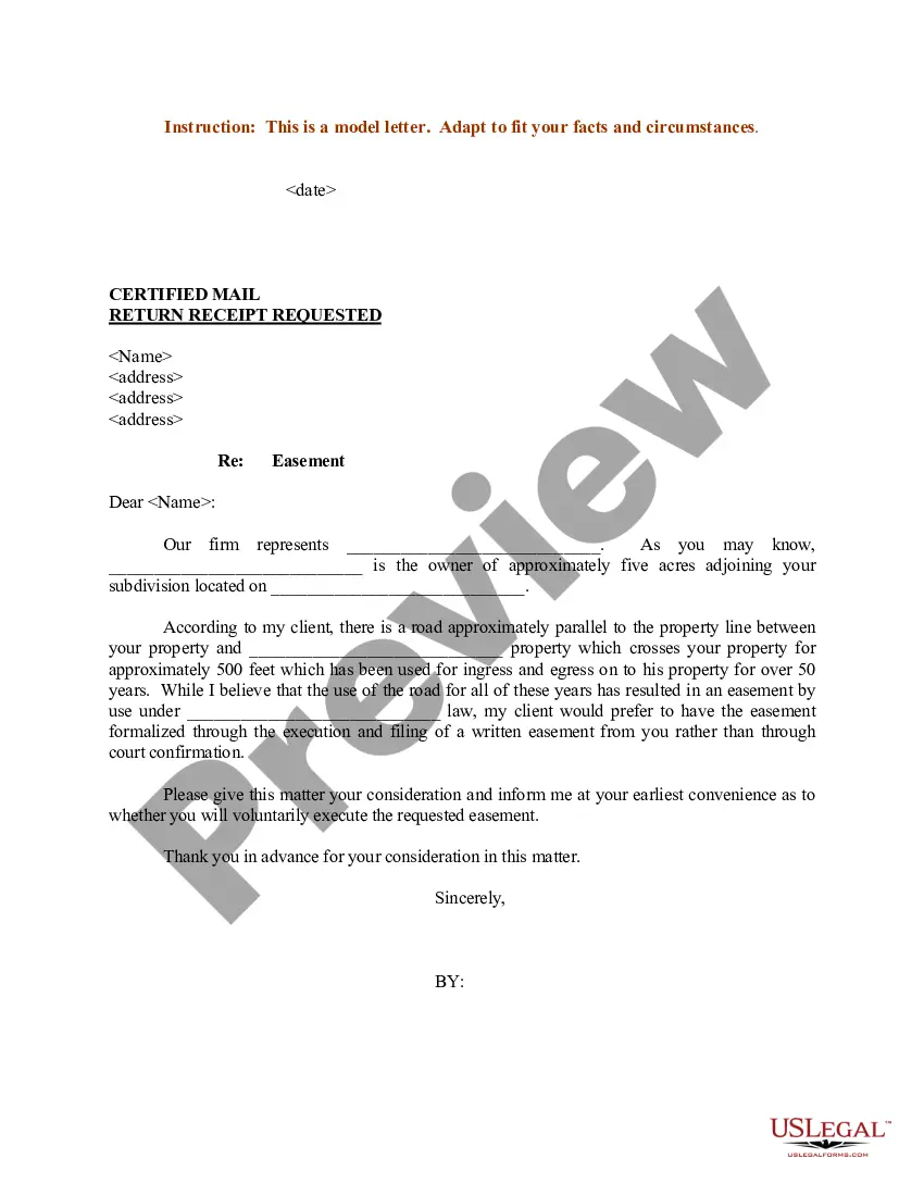
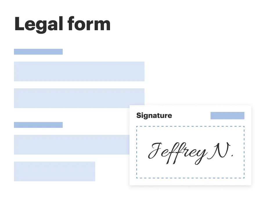
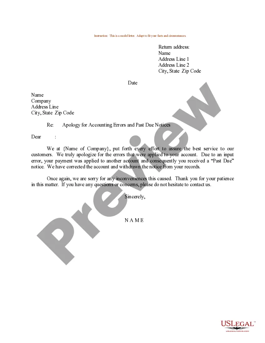
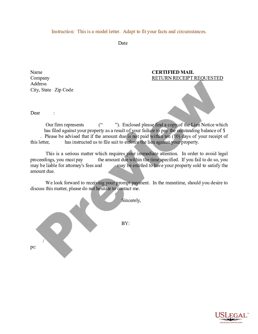
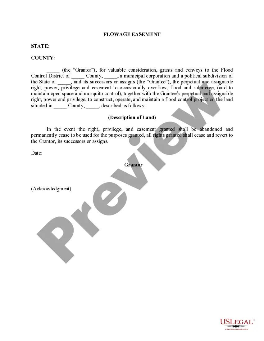
The Sample Letter regarding Survey Maps is a document template designed to assist in communicating about survey maps. This letter can be used to request or respond to inquiries related to property surveys, making it distinct from other legal correspondence, such as formal requests or petitions. The primary purpose of this form is to provide a clear and professional approach for addressing matters related to survey maps, ensuring parties involved have a mutual understanding of the content discussed.
Key parts of this document
- Introduction: Clearly state the purpose of the letter.
- Recipient Information: Include the name and address of the party receiving the letter.
- Request or Response: Outline the specific information being requested or provided regarding the survey maps.
- Property Details: Specify the property involved, including any relevant identification numbers.
- Closing Statement: Offer a polite conclusion and encourage further communication.
When this form is needed
This form is useful in various situations, such as when a property owner needs to request detailed information about a recent survey, or when someone must clarify survey-related issues with a contractor or surveyor. It can also be employed in real estate transactions where survey maps are crucial for defining property boundaries or verifying land measurements.
Who needs this form
- Property owners needing information about their land surveys.
- Surveyors responding to inquiries about their survey maps.
- Real estate agents assisting clients with property-related questions.
- Anyone involved in land transactions requiring clarification on survey details.
How to prepare this document
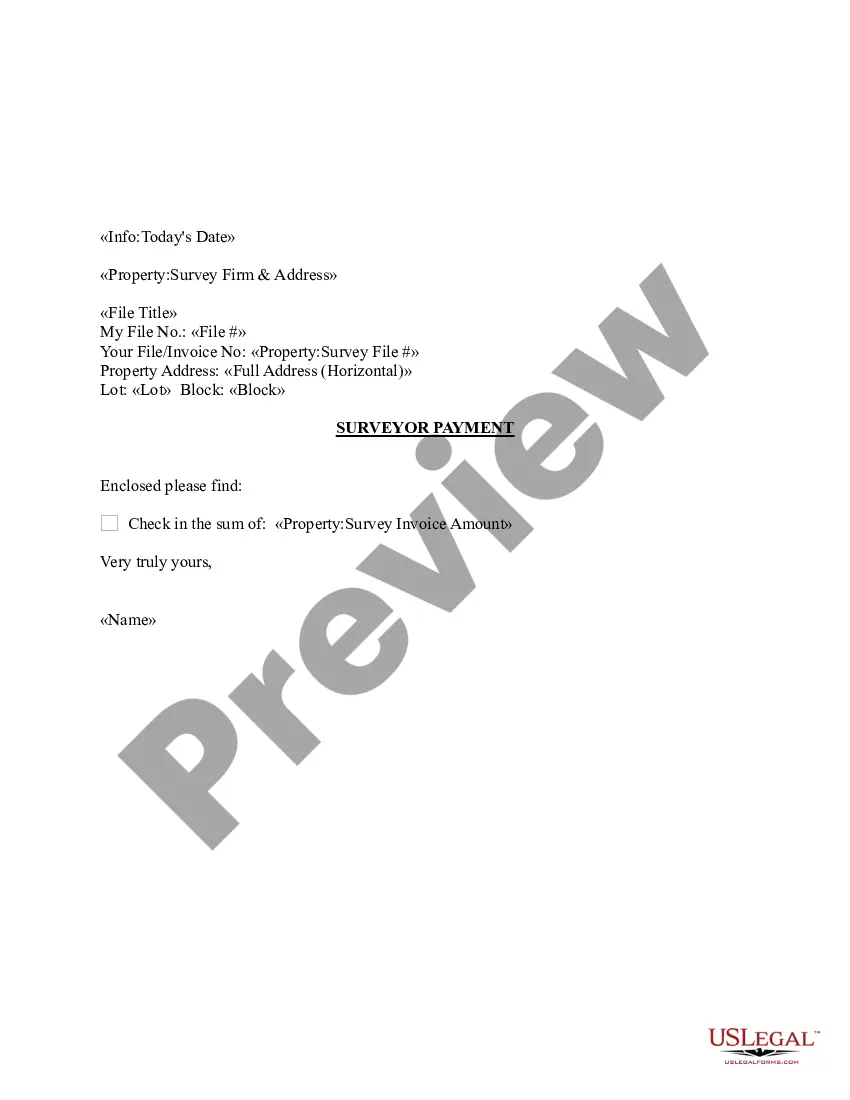
- Begin with the date and your contact information at the top of the letter.
- Address the letter to the appropriate recipient using their full name and address.
- Clearly state the purpose of your letter in the opening paragraph.
- Include detailed information about the survey maps related to the property.
- Close the letter with a courteous closing statement and your signature.
Notarization requirements for this form
This form does not typically require notarization to be legally valid. However, some jurisdictions or document types may still require it. US Legal Forms provides secure online notarization powered by Notarize, available 24/7 for added convenience.
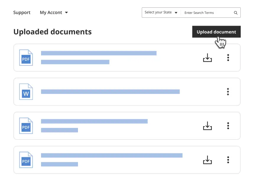
Get your form ready online
Our built-in tools help you complete, sign, share, and store your documents in one place.
Make edits, fill in missing information, and update formatting in US Legal Forms—just like you would in MS Word.
Download a copy, print it, send it by email, or mail it via USPS—whatever works best for your next step.
Sign and collect signatures with our SignNow integration. Send to multiple recipients, set reminders, and more. Go Premium to unlock E-Sign.
If this form requires notarization, complete it online through a secure video call—no need to meet a notary in person or wait for an appointment.
We protect your documents and personal data by following strict security and privacy standards.
Make edits, fill in missing information, and update formatting in US Legal Forms—just like you would in MS Word.
Download a copy, print it, send it by email, or mail it via USPS—whatever works best for your next step.
Sign and collect signatures with our SignNow integration. Send to multiple recipients, set reminders, and more. Go Premium to unlock E-Sign.

If this form requires notarization, complete it online through a secure video call—no need to meet a notary in person or wait for an appointment.
We protect your documents and personal data by following strict security and privacy standards.
Mistakes to watch out for
- Not including complete recipient information, which can cause delays in communication.
- Using vague language that may lead to misunderstandings.
- Failing to specify the property's details accurately.
- Not reviewing the letter for grammar and clarity before sending.
Benefits of using this form online
- Immediate access to a professionally drafted template that saves time.
- Easy editing capabilities to customize the content as needed.
- Convenient download and print options for physical correspondence.
Looking for another form?

Form popularity
FAQ
The type of survey that we order for closing is called a Location Survey. A Location Survey shows the location of the improvements on the property in relation to the apparent boundary lines of the property. It generally involves a physical inspection of the property and is accurate to plus or minus a few feet.
A Plat or Survey Map is the result of the ALTA/NSPS Land Title Survey also commonly referred to as a Property Map.The Plat Map will depict all information identified in the ALTA Survey, including: boundary, descriptions, dimensions, closures, easements, servitudes, rights of way, access and record documents.
Conducting surveys and questionnaires demand you to be careful. Start by telling the reader why you need the reader to respond to the survey. Tell the reader what benefit he/she can get from it. Thank the reader for his/her cooperation.
Use Simple, Direct Language. Avoid using big words, complicated words, and words that could have multiple meanings. Be Specific. Break Down Big Ideas into Multiple Questions. Avoid Leading Questions. Ask One Thing per Question. Use More Interval Questions.
Simple Salutation Personalisation. Tell Them Why They are Receiving the Invite. Don't Tell Them How Great You Are. Explain the Purpose of the Survey. Give a Realistic Estimate of the Time it Will Take. Give Them a Place to Ask Questions. Show Them the Survey Link.
Use a Clear Email Subject Line. Say Who Has Been Asked to Participate. Explain the Survey's Purpose. Create Urgency With a Deadline. Mention Time Needed to Participate. Explain Incentives.
The survey will also include a written description of the property, the street address, the location of buildings and adjacent properties, and any improvements a homeowner can make to the land. A property survey also includes things like right-of-ways and easements.
Explain precisely what your request is. Mention the reason for the request. Use polite language and a professional tone. Demonstrate respect and gratitude to the reader. The content of the letter should be official. You may provide contact information where you can be reached.
A Record of Survey is an official map (18 x 26) that is reviewed by the County Surveyors Office and then recorded with the County Recorder's Office. This map represents a survey made on the ground and delineates the deed described lines.