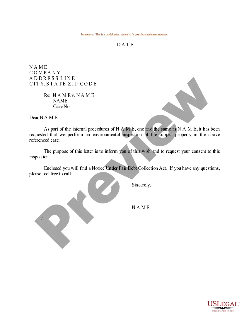
New Orleans Louisiana Sample Letter regarding Survey Maps
Category:
State:
Multi-State
City:
New Orleans
Control #:
US-0854LTR
Format:
Word;
Rich Text
Instant download
Description
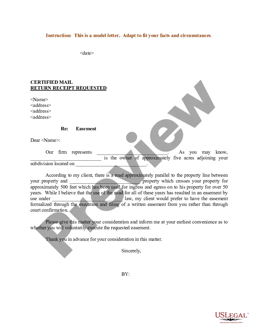
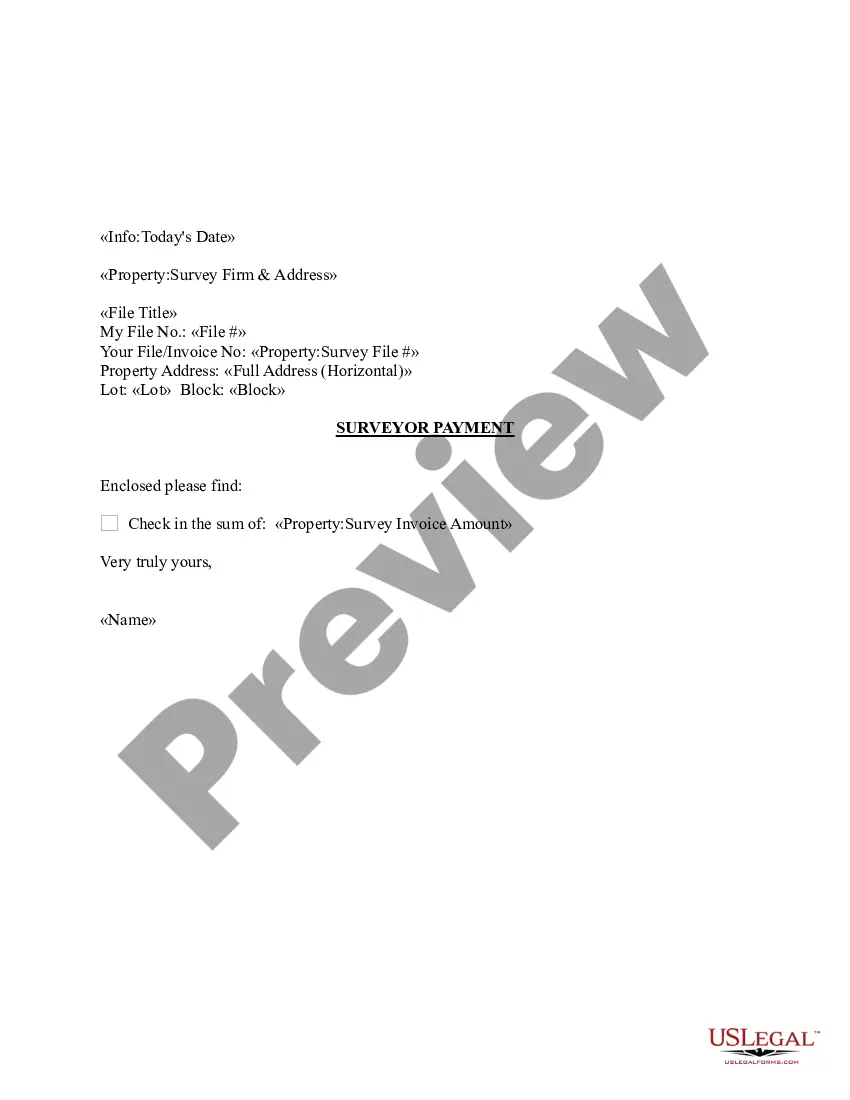
This form is a sample letter in Word format covering the subject matter of the title of the form.