Geographical Information Sheet — Cities and Countieeasternrn District of Virginia is a type of GIS (Geographic Information System) sheet which provides detailed information about the cities and counties in Eastern District of Virginia. It typically includes data such as county boundaries, population, land use, transportation, city boundaries, street names, water features, and other relevant geographic information. The GIS sheet also includes detailed demographic information about the cities and counties in Eastern District of Virginia, such as population size, age, gender, race, education level, and other related statistics. There are several types of GIS sheets available for Eastern District of Virginia, such as city profile sheets, county profile sheets, and district profile sheets. All of these sheets provide detailed information about the cities and counties in Eastern District of Virginia, helping users to better understand the area and its population.
Geographical Information Sheet - Cities and Counties in Eastern Eastern District of Virginia
Description
Get your form ready online
Our built-in tools help you complete, sign, share, and store your documents in one place.
Make edits, fill in missing information, and update formatting in US Legal Forms—just like you would in MS Word.
Download a copy, print it, send it by email, or mail it via USPS—whatever works best for your next step.
Sign and collect signatures with our SignNow integration. Send to multiple recipients, set reminders, and more. Go Premium to unlock E-Sign.
If this form requires notarization, complete it online through a secure video call—no need to meet a notary in person or wait for an appointment.
We protect your documents and personal data by following strict security and privacy standards.

Make edits, fill in missing information, and update formatting in US Legal Forms—just like you would in MS Word.

Download a copy, print it, send it by email, or mail it via USPS—whatever works best for your next step.

Sign and collect signatures with our SignNow integration. Send to multiple recipients, set reminders, and more. Go Premium to unlock E-Sign.

If this form requires notarization, complete it online through a secure video call—no need to meet a notary in person or wait for an appointment.

We protect your documents and personal data by following strict security and privacy standards.
Looking for another form?


How to fill out Geographical Information Sheet - Cities And Counties In Eastern Eastern District Of Virginia?
Preparing official paperwork can be a real stress if you don’t have ready-to-use fillable templates. With the US Legal Forms online library of formal documentation, you can be certain in the blanks you find, as all of them correspond with federal and state laws and are verified by our specialists. So if you need to complete Geographical Information Sheet - Cities and Counties in Eastern Eastern District of Virginia, our service is the perfect place to download it.
Obtaining your Geographical Information Sheet - Cities and Counties in Eastern Eastern District of Virginia from our catalog is as easy as ABC. Previously registered users with a valid subscription need only sign in and click the Download button after they locate the correct template. Afterwards, if they need to, users can get the same blank from the My Forms tab of their profile. However, even if you are new to our service, registering with a valid subscription will take only a few moments. Here’s a quick instruction for you:
- Document compliance verification. You should attentively examine the content of the form you want and make sure whether it satisfies your needs and fulfills your state law regulations. Previewing your document and reviewing its general description will help you do just that.
- Alternative search (optional). If you find any inconsistencies, browse the library using the Search tab on the top of the page until you find a suitable template, and click Buy Now when you see the one you want.
- Account creation and form purchase. Register for an account with US Legal Forms. After account verification, log in and select your most suitable subscription plan. Make a payment to continue (PayPal and credit card options are available).
- Template download and further usage. Select the file format for your Geographical Information Sheet - Cities and Counties in Eastern Eastern District of Virginia and click Download to save it on your device. Print it to complete your papers manually, or use a multi-featured online editor to prepare an electronic version faster and more efficiently.
Haven’t you tried US Legal Forms yet? Sign up for our service today to get any formal document quickly and easily any time you need to, and keep your paperwork in order!
Form popularity
FAQ
This court provides appellate review of cases tried in the United States District Courts within the geographic area of its jurisdiction, which includes Delaware, New Jersey, Pennsylvania, and the U.S. Virgin Islands.
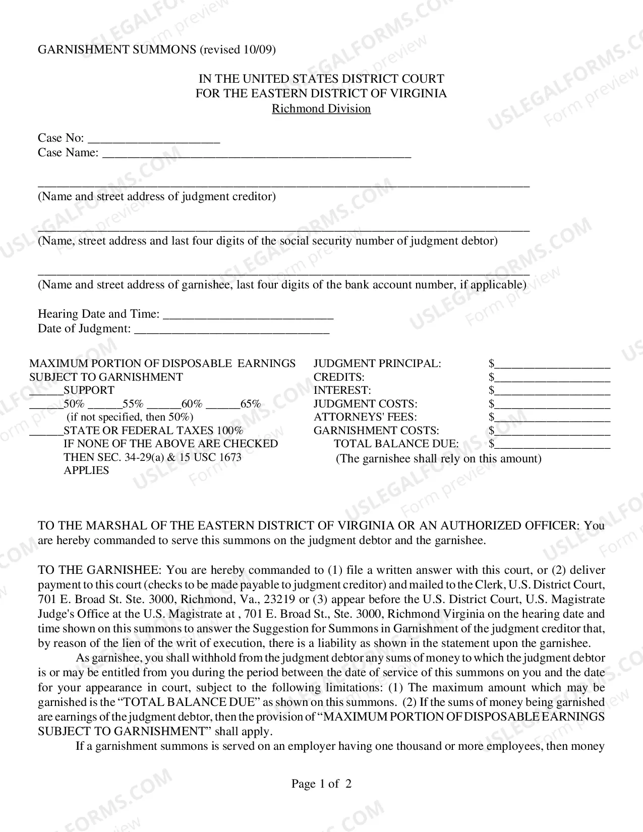
Richmond Eastern District of Virginia United States District Court.
The U.S. District Court for the Eastern District of Virginia, known as the "Rocket Docket," has consistently had the fastest trial docket in the United States by means of an active bench and rigid limits on discovery.
The U.S. Court of Appeals for the Fourth Circuit hears appeals from the district courts in the states of Maryland, North Carolina, South Carolina, Virginia and West Virginia. There are nine federal district courts located within the Fourth Circuit.
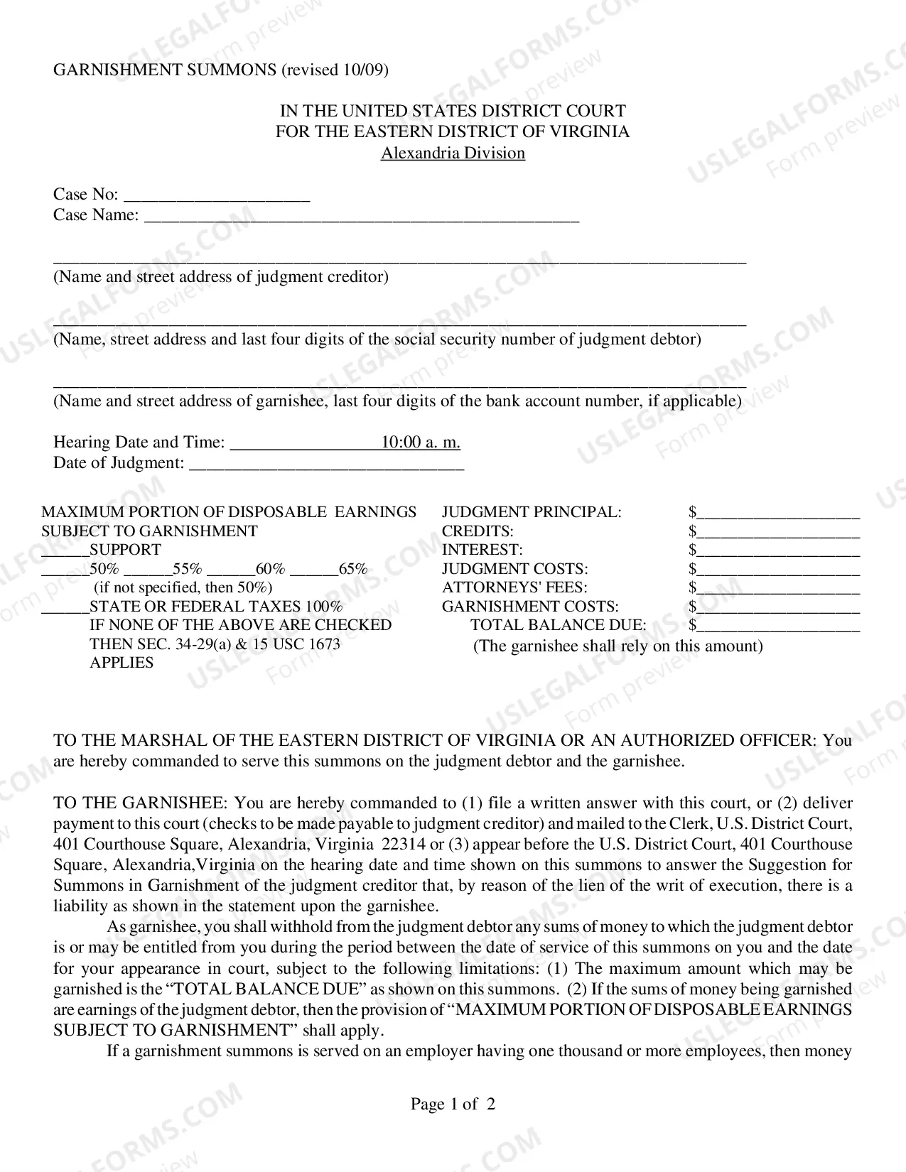
The Alexandria Division consists of the and the counties of Arlington, Fairfax, Fauquier, Loudoun, Prince William and Stafford, as well as any other city or town within the geographical boundaries of those counties.
Eastern District of Virginia United States District Court.
United States District Court for the Eastern District of VirginiaLocationAlbert V. Bryan U.S. Courthouse (Alexandria) More locations Walter E. Hoffman U.S. Courthouse (Norfolk) Richmond Newport NewsAppeals toFourth CircuitEstablishedFebruary 4, 1819Judges117 more rows
Arkansas. Iowa. Minnesota. Missouri. Nebraska. North Dakota. South Dakota.