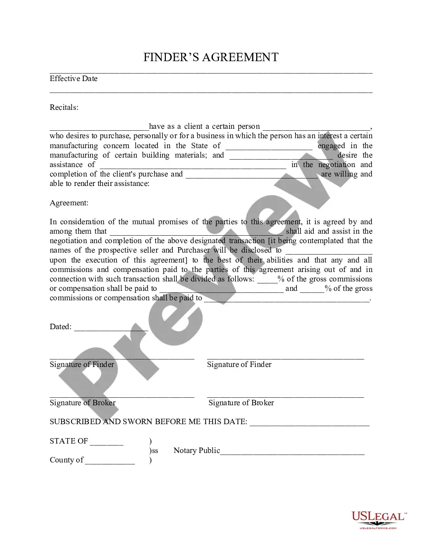
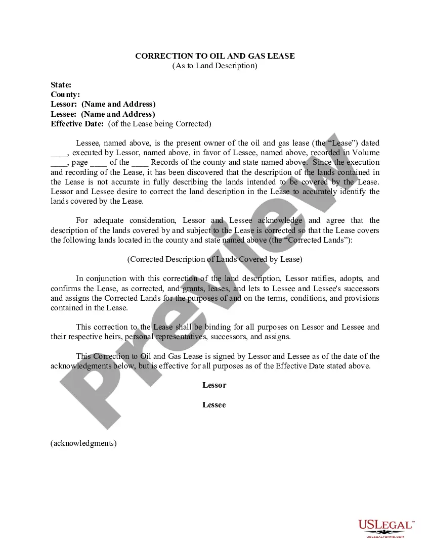
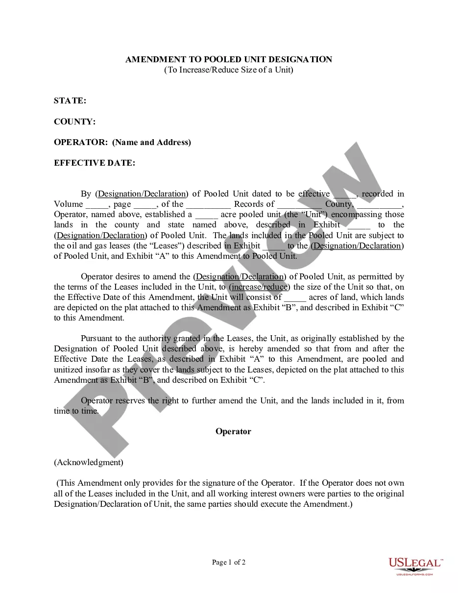
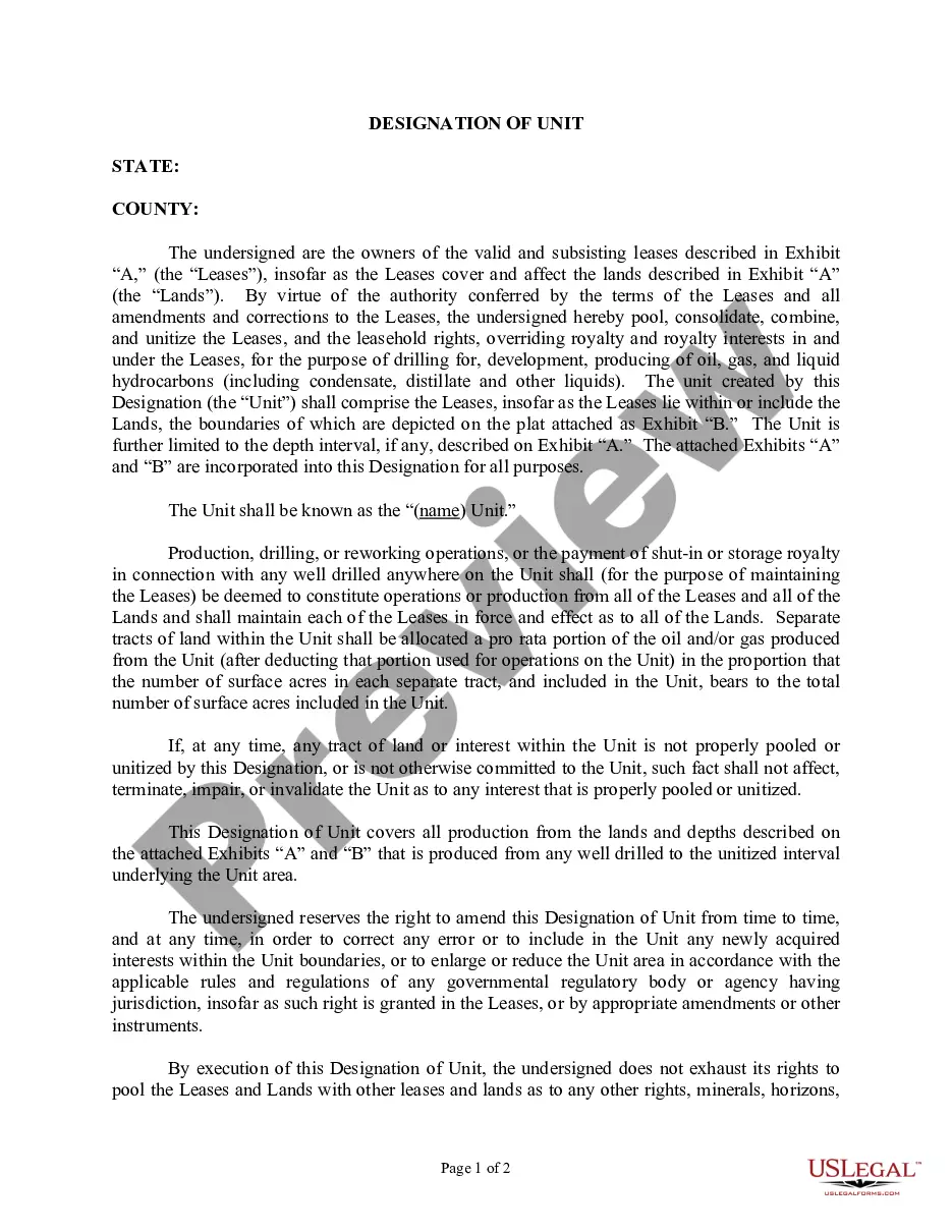
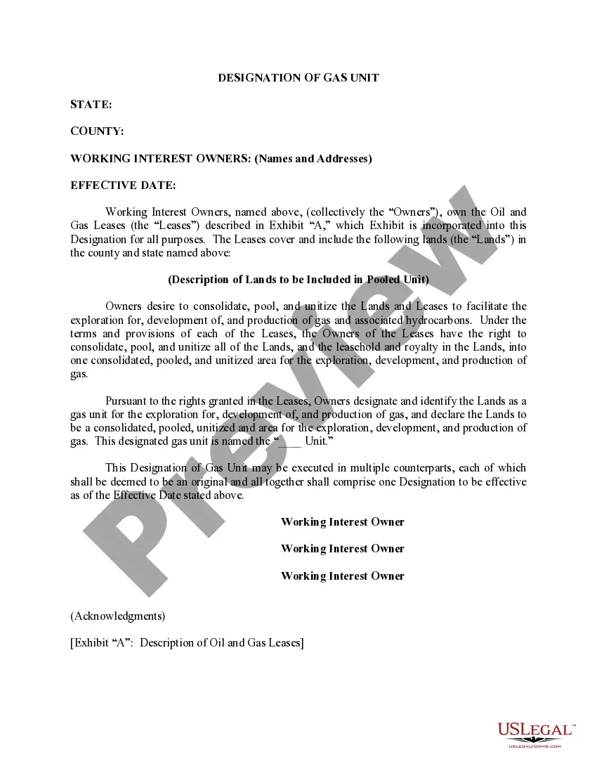
Pennsylvania Correction to Unit Designation to Correct Depth
Description

Get your form ready online
Our built-in tools help you complete, sign, share, and store your documents in one place.
Make edits, fill in missing information, and update formatting in US Legal Forms—just like you would in MS Word.
Download a copy, print it, send it by email, or mail it via USPS—whatever works best for your next step.
Sign and collect signatures with our SignNow integration. Send to multiple recipients, set reminders, and more. Go Premium to unlock E-Sign.
If this form requires notarization, complete it online through a secure video call—no need to meet a notary in person or wait for an appointment.
We protect your documents and personal data by following strict security and privacy standards.

Make edits, fill in missing information, and update formatting in US Legal Forms—just like you would in MS Word.

Download a copy, print it, send it by email, or mail it via USPS—whatever works best for your next step.

Sign and collect signatures with our SignNow integration. Send to multiple recipients, set reminders, and more. Go Premium to unlock E-Sign.

If this form requires notarization, complete it online through a secure video call—no need to meet a notary in person or wait for an appointment.

We protect your documents and personal data by following strict security and privacy standards.
Looking for another form?


How to fill out Correction To Unit Designation To Correct Depth?
If you need to complete, acquire, or print out legal document themes, use US Legal Forms, the biggest selection of legal forms, that can be found on-line. Use the site`s simple and easy convenient lookup to find the files you need. Different themes for organization and personal reasons are sorted by categories and claims, or keywords and phrases. Use US Legal Forms to find the Pennsylvania Correction to Unit Designation to Correct Depth with a number of mouse clicks.
In case you are presently a US Legal Forms buyer, log in to the profile and click on the Down load button to find the Pennsylvania Correction to Unit Designation to Correct Depth. You may also accessibility forms you in the past saved from the My Forms tab of your profile.
Should you use US Legal Forms the very first time, follow the instructions below:
- Step 1. Ensure you have chosen the shape for your right area/nation.
- Step 2. Take advantage of the Review option to examine the form`s content. Never neglect to read the information.
- Step 3. In case you are unsatisfied with the form, make use of the Research discipline on top of the display to locate other variations of your legal form format.
- Step 4. After you have located the shape you need, select the Buy now button. Select the costs program you choose and add your references to sign up for the profile.
- Step 5. Method the purchase. You can utilize your charge card or PayPal profile to accomplish the purchase.
- Step 6. Find the formatting of your legal form and acquire it on the device.
- Step 7. Complete, change and print out or indicator the Pennsylvania Correction to Unit Designation to Correct Depth.
Each legal document format you purchase is the one you have forever. You may have acces to every single form you saved in your acccount. Click on the My Forms segment and select a form to print out or acquire once more.
Compete and acquire, and print out the Pennsylvania Correction to Unit Designation to Correct Depth with US Legal Forms. There are many expert and status-certain forms you can utilize for your personal organization or personal requirements.