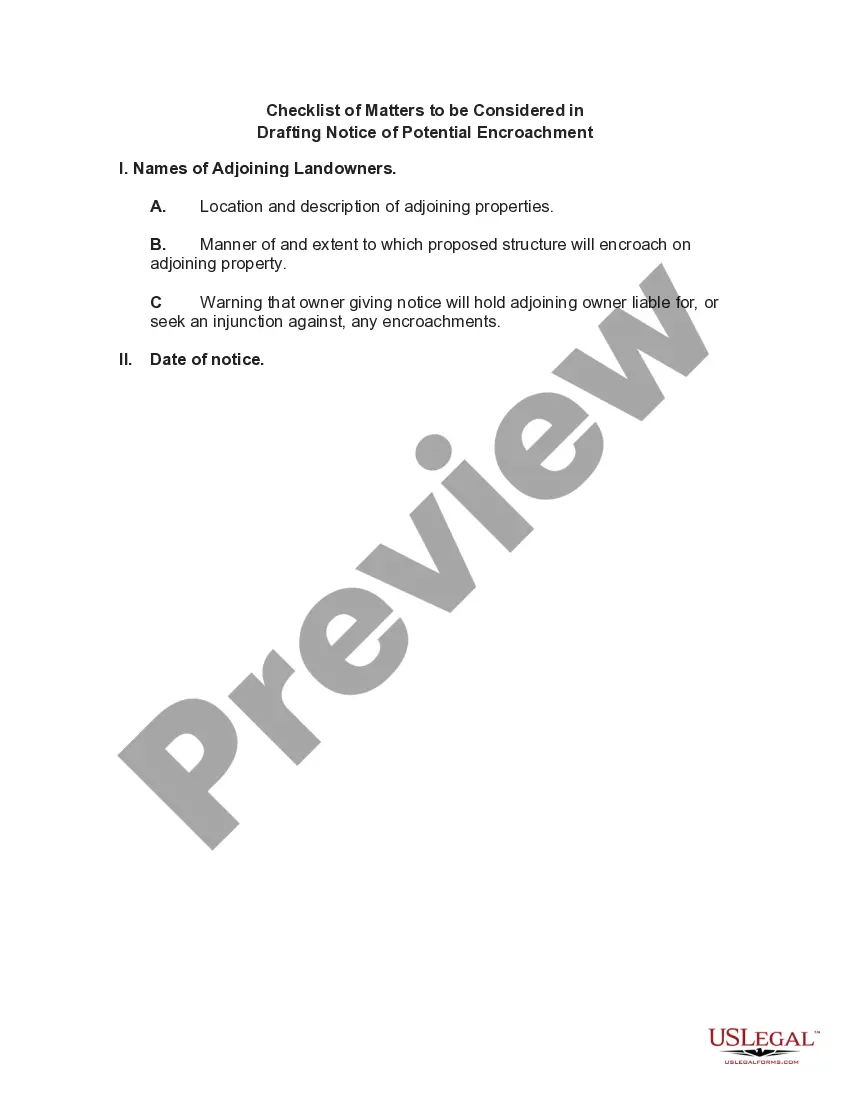
New Mexico Agreement to Survey and Fix Location of Known Common Boundary
Description


How to fill out Agreement To Survey And Fix Location Of Known Common Boundary?
If you wish to obtain, acquire, or print legal document templates, utilize US Legal Forms, the premier collection of legal documents available online.
Employ the site's user-friendly and convenient search feature to find the forms you require.
Various templates for business and personal uses are organized by categories and jurisdictions, or keywords.
Step 4. Once you have found the form you need, click the Get now button. Choose the pricing plan you prefer and enter your details to register for the account.
Step 5. Complete the transaction. You can use your credit card or PayPal account to finalize the transaction.
- Utilize US Legal Forms to download the New Mexico Agreement to Survey and Fix Location of Known Common Boundary with a few clicks.
- If you are currently a US Legal Forms user, Log In to your account and click on the Download option to obtain the New Mexico Agreement to Survey and Fix Location of Known Common Boundary.
- You can also access forms you have previously downloaded in the My documents tab of your account.
- If you are using US Legal Forms for the first time, follow the steps below.
- Step 1. Verify you have selected the form for the correct city/region.
- Step 2. Utilize the Preview option to review the form's content. Make sure to read the explanation.
- Step 3. If you are not satisfied with the document, use the Search field at the top of the screen to find other types of legal document templates.
Form popularity
FAQ
In New Mexico an ALTA survey must meet all of the requirements of a boundary survey as established in the minimum standards. So in NM, some of the options such as setting the property corners are already a requirement, such as items 1,2,4,8 and 11(a).
An improvement location survey is a simple survey that identifies and locates on-site property improvements that have either been proposed or recently built. The surveyor will measure and locate the improvements on the property, comparing these with existing land records and prior surveys to determine what has changed.
Improvement location reporting is the preparation of an improvement location report which is a narrative report, which may be accompanied by a sketch, and which is issued only to a title, abstract or escrow company or a lending institution for their exclusive use; it shall not be represented by the surveyor as being a
Land surveys indicate the boundaries of surrounding properties and determine where trees and fences lie. Land surveys are frequently used in property disputes to prove where the boundary of your property is and which side of a fence belongs to which property.
A Land Survey versus an ILC The main difference between an ILC and a Land Survey is that the ILC has multiple parties to satisfy. However, all the parties may use the same information and the same ILCs.
A Boundary Stake-Out is a type of survey which marks or monuments the physical position of property corners or lines.
Surveyors can advise on issues arising from boundary disputes, including how boundaries are defined and how they can be identified.
Improvement Location Certificates Their purpose is to provide the location of the structures and improvements in relation to property boundaries as noted on the deed.
Improvement Location Certificate (ILC) An Improvement Location Certificate or ILC is an inspection of a parcel by a licensed surveyor to determine possible encroachments or other matters that could be adverse from a land surveying standpoint.
Surveyors can advise on issues arising from boundary disputes, including how boundaries are defined and how they can be identified.