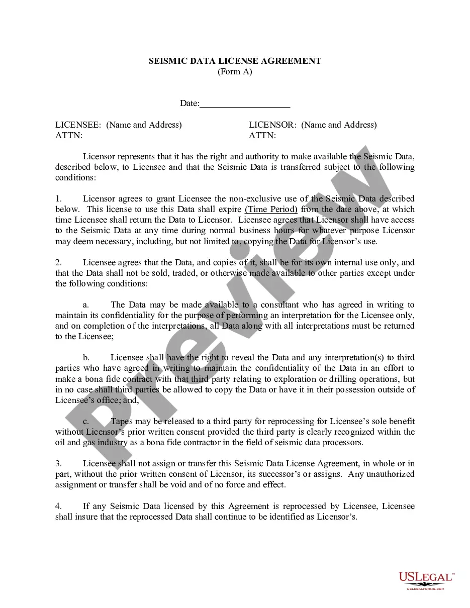
Montana Letter of Intent Acquisition of 3-D Data
Description


How to fill out Letter Of Intent Acquisition Of 3-D Data?
Are you presently in the place where you will need files for possibly enterprise or specific functions virtually every working day? There are a variety of legal document themes available online, but getting versions you can rely is not effortless. US Legal Forms offers a huge number of develop themes, such as the Montana Letter of Intent Acquisition of 3-D Data, which can be created to fulfill state and federal requirements.
If you are presently informed about US Legal Forms website and also have a free account, basically log in. Next, you can down load the Montana Letter of Intent Acquisition of 3-D Data web template.
If you do not have an accounts and want to begin using US Legal Forms, abide by these steps:
- Get the develop you will need and ensure it is for your appropriate area/region.
- Make use of the Review button to examine the shape.
- Browse the information to actually have selected the correct develop.
- When the develop is not what you are looking for, use the Lookup field to obtain the develop that meets your needs and requirements.
- Once you get the appropriate develop, simply click Purchase now.
- Pick the pricing strategy you want, fill out the desired information to make your money, and pay money for the order with your PayPal or charge card.
- Select a convenient document file format and down load your backup.
Find every one of the document themes you may have purchased in the My Forms menus. You can obtain a extra backup of Montana Letter of Intent Acquisition of 3-D Data any time, if possible. Just click the essential develop to down load or produce the document web template.
Use US Legal Forms, probably the most comprehensive collection of legal types, to save lots of time as well as steer clear of errors. The assistance offers professionally created legal document themes which can be used for a selection of functions. Make a free account on US Legal Forms and start creating your life easier.
Form popularity
FAQ
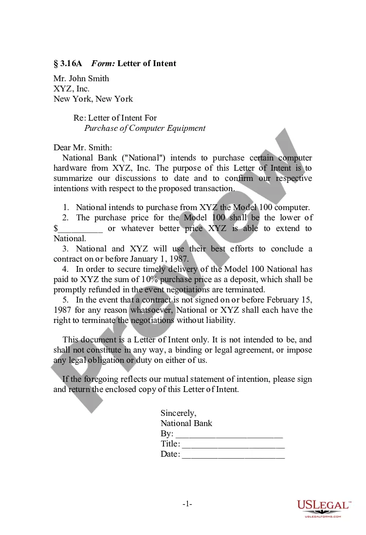
Similar to a cover letter or letter of interest, a letter of intent follows a business letter format. It should be a few paragraphs that introduce you as a candidate, outline your intentions, and encourage the reader to follow up.
Typically, the LOI will include purchase price and terms, the assets and liabilities included in the deal, exclusivity, and the conditions required to close the transaction. If accepted by the sell-side, the LOI is immediately followed by the due diligence phase of the transaction.
This usually declares their intent to enroll and includes an outline of their educational background. If a student is applying to a graduate program, the letter should also include specific examples of what they intend to study. Letters of intent in education are also sometimes known as statements of purpose.
Components of a LOI Opening Paragraph: Your summary statement. ... Statement of Need: The "why" of the project. ( ... Project Activity: The "what" and "how" of the project. ( ... Outcomes (1?2 paragraphs; before or after the Project Activity) ... Credentials (1?2 paragraphs) ... Budget (1?2 paragraphs) ... Closing (1 paragraph) ... Signature.
Besides detailing the price and payment terms of the transaction, the LOI includes items such as description of the assets to be purchased, any assumed liabilities, the terms of the seller's non-compete agreement, the timeline for due diligence and closing, a confidentiality provision, and an exclusivity provision, ...
Accomplishing a variety of business objectives, when writing a letter of intent, one wants to make sure to include the following four elements: Terms and Condition. ... No-Shop Provisions. ... Confidentiality Provisions. ... Conditions to Close.
In addition to confidentiality clauses, all LOIs should contain the proper names, states of formation and addresses of the parties, along with a description of the affected premises or property. If brokers were involved, the LOI should identify them, what their commissions are and when they are payable.