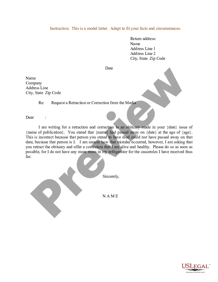
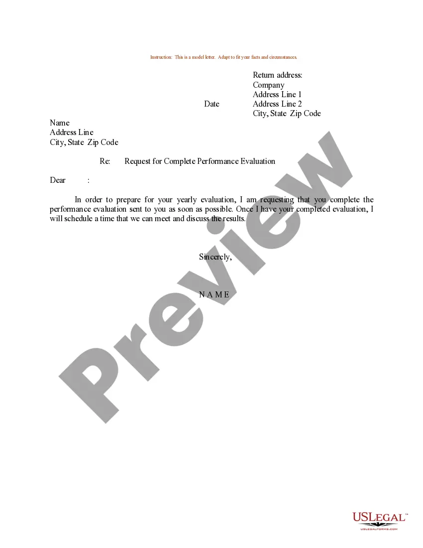
Montana Sample Letter for Request to Complete Media Survey Form
Description
Get your form ready online
Our built-in tools help you complete, sign, share, and store your documents in one place.
Make edits, fill in missing information, and update formatting in US Legal Forms—just like you would in MS Word.
Download a copy, print it, send it by email, or mail it via USPS—whatever works best for your next step.
Sign and collect signatures with our SignNow integration. Send to multiple recipients, set reminders, and more. Go Premium to unlock E-Sign.
If this form requires notarization, complete it online through a secure video call—no need to meet a notary in person or wait for an appointment.
We protect your documents and personal data by following strict security and privacy standards.

Make edits, fill in missing information, and update formatting in US Legal Forms—just like you would in MS Word.

Download a copy, print it, send it by email, or mail it via USPS—whatever works best for your next step.

Sign and collect signatures with our SignNow integration. Send to multiple recipients, set reminders, and more. Go Premium to unlock E-Sign.

If this form requires notarization, complete it online through a secure video call—no need to meet a notary in person or wait for an appointment.

We protect your documents and personal data by following strict security and privacy standards.
Looking for another form?

How to fill out Sample Letter For Request To Complete Media Survey Form?
If you are looking to finalize, download, or create legal document templates, utilize US Legal Forms, the most extensive assortment of legal documents available online.
Take advantage of the site’s straightforward and user-friendly search function to find the documents you require.
Various templates for business and personal needs are organized by categories and states, or keywords. Use US Legal Forms to obtain the Montana Sample Letter for Request to Complete Media Survey Form in just a few clicks.
Every legal document template you purchase is yours permanently. You have access to every document you acquired within your account. Click on the My documents section and select a document to print or download again.
Stay competitive and download, then print the Montana Sample Letter for Request to Complete Media Survey Form with US Legal Forms. There are thousands of professional and state-specific templates available for your business or personal needs.
- If you are already a US Legal Forms user, Log In to your account and then click the Download button to retrieve the Montana Sample Letter for Request to Complete Media Survey Form.
- You can also access documents you have previously obtained in the My documents tab of your account.
- If you are using US Legal Forms for the first time, follow the instructions below.
- Step 1. Ensure you have selected the form for the correct city/state.
- Step 2. Use the Preview feature to review the form’s content. Be sure to check the details.
- Step 3. If you are not satisfied with the document, utilize the Search area at the top of the screen to locate alternative versions of your legal form template.
- Step 4. Once you find the form you need, click the Get now button. Select the payment plan you prefer and enter your information to register for the account.
- Step 5. Process the payment. You can use a credit card or PayPal account to complete the transaction.
- Step 6. Choose the format of your legal document and download it to your device.
- Step 7. Complete, modify, and print or sign the Montana Sample Letter for Request to Complete Media Survey Form.
Form popularity
FAQ
A LOMR is a letter from FEMA officially revising the current NFIP map to show changes to floodplains, regulatory floodways, or flood elevations. Reference Code of Federal Regulations Title 44 Parts 60, 65, and 72. A community or individual can request a LOMR to update the following: Flood Hazard Boundary Map.
The LOMA process is for properties on naturally high ground, and the LOMR-F process is for properties elevated by fill. LOMAs and LOMR-Fs can officially amend an effective FIRM. They can establish that a property is not in an SFHA.
A signed Community Acknowledgement Form indicates to FEMA that: All necessary permits were obtained. Applicant is in compliance with local and NFIP regulations. Fill does not result in a floodway encroachment.
A Letter of Map Amendment (LOMA) is an official amendment, by letter, to an effective National Flood Insurance Program (NFIP) map. A LOMA establishes a property's location in relation to the Special Flood Hazard Area (SFHA).
For all Letter of Map Revision, Conditional Letter of Map and Physical Map Revisions: For individual or community requests, these forms should be used for revisions to effective Flood Insurance Study reports, Flood Insurance Rate Maps or Flood Boundary and Floodway Maps.
What is a LOMA? A LOMA is a Letter of Map Amendment. It is a document from FEMA which states that while a structure, or portion of property, is mapped within the flood zone; it is not at risk for flooding based on the elevation of the structure, or portion of the property.
Use these strategies when asking someone to fill out your survey:Make your subject line interesting. To increase the chances of your email being read, create an interesting subject line.Greet the recipient.Explain your invite.Offer an incentive.Inform recipients of the survey's length.Thank the recipient.Send feedback.
A Letter of Map Revision Based on Fill (LOMR-F) is FEMA's modification of the Special Flood Hazard Area (SFHA) shown on the Flood Insurance Rate Map (FIRM) based on the placement of fill outside the existing regulatory floodway.
A Letter of Map Revision Based on Fill (LOMR-F) is FEMA's modification of the Special Flood Hazard Area (SFHA) shown on the Flood Insurance Rate Map (FIRM) based on the placement of fill outside the existing regulatory floodway.