Mississippi Letter of Intent Acquisition of 3-D Data
Description


How to fill out Letter Of Intent Acquisition Of 3-D Data?
Finding the right authorized record design could be a battle. Of course, there are a lot of templates available on the net, but how would you discover the authorized develop you want? Take advantage of the US Legal Forms site. The services gives a huge number of templates, such as the Mississippi Letter of Intent Acquisition of 3-D Data, which you can use for organization and personal needs. Each of the varieties are checked by professionals and meet federal and state needs.
In case you are presently registered, log in to the bank account and then click the Download button to have the Mississippi Letter of Intent Acquisition of 3-D Data. Make use of your bank account to appear throughout the authorized varieties you possess ordered previously. Proceed to the My Forms tab of your respective bank account and get yet another duplicate of your record you want.
In case you are a whole new user of US Legal Forms, here are straightforward directions that you can comply with:
- Very first, make sure you have chosen the proper develop to your metropolis/area. You are able to look over the shape while using Review button and look at the shape outline to make certain this is basically the best for you.
- When the develop will not meet your expectations, make use of the Seach area to get the proper develop.
- Once you are certain the shape is suitable, go through the Buy now button to have the develop.
- Opt for the rates strategy you need and type in the needed info. Design your bank account and pay money for an order making use of your PayPal bank account or bank card.
- Opt for the submit structure and download the authorized record design to the product.
- Complete, revise and print out and indicator the attained Mississippi Letter of Intent Acquisition of 3-D Data.
US Legal Forms will be the biggest catalogue of authorized varieties that you will find different record templates. Take advantage of the service to download skillfully-produced files that comply with state needs.
Form popularity
FAQ
Components of a LOI Opening Paragraph: Your summary statement. ... Statement of Need: The "why" of the project. ( ... Project Activity: The "what" and "how" of the project. ( ... Outcomes (1?2 paragraphs; before or after the Project Activity) ... Credentials (1?2 paragraphs) ... Budget (1?2 paragraphs) ... Closing (1 paragraph) ... Signature.
The key terms of an LOI are the following: Purchase price and terms. Assets and liabilities included, especially working capital. Form of consideration, such as cash, stock, earnout, or notes. Legal transaction structure (asset sale or stock sale) Seller's ongoing role and compensation.
Typically, the LOI will include purchase price and terms, the assets and liabilities included in the deal, exclusivity, and the conditions required to close the transaction. If accepted by the sell-side, the LOI is immediately followed by the due diligence phase of the transaction.
Typically, the LOI will include purchase price and terms, the assets and liabilities included in the deal, exclusivity, and the conditions required to close the transaction. If accepted by the sell-side, the LOI is immediately followed by the due diligence phase of the transaction.
Besides detailing the price and payment terms of the transaction, the LOI includes items such as description of the assets to be purchased, any assumed liabilities, the terms of the seller's non-compete agreement, the timeline for due diligence and closing, a confidentiality provision, and an exclusivity provision, ...
The letter of intent format includes: header, salutation, body paragraphs, closing and signature. This means you should: Use single spacing in paragraphs, double spacing between paragraphs.
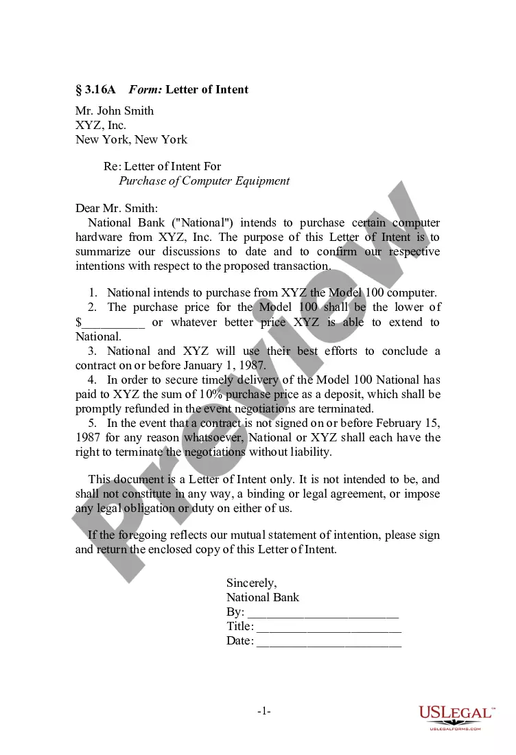
What is a letter of intent? A letter of intent (LOI) is a document written in business letter format that declares your intent to do a specific thing. It's usually, but not always, nonbinding, and it states a preliminary commitment by one party to do business with another party.
Components of a LOI Opening Paragraph: Your summary statement. ... Statement of Need: The "why" of the project. ( ... Project Activity: The "what" and "how" of the project. ( ... Outcomes (1?2 paragraphs; before or after the Project Activity) ... Credentials (1?2 paragraphs) ... Budget (1?2 paragraphs) ... Closing (1 paragraph) ... Signature.