Illinois Application for Rezoning and / or Future Land Use Map Amendment
Description


How to fill out Application For Rezoning And / Or Future Land Use Map Amendment?
US Legal Forms - among the greatest libraries of authorized forms in the USA - provides an array of authorized file themes you can down load or print. Utilizing the internet site, you can find a large number of forms for organization and individual functions, sorted by types, claims, or search phrases.You will discover the most recent models of forms like the Illinois Application for Rezoning and / or Future Land Use Map Amendment in seconds.
If you already possess a monthly subscription, log in and down load Illinois Application for Rezoning and / or Future Land Use Map Amendment through the US Legal Forms local library. The Acquire key will show up on each develop you see. You gain access to all earlier saved forms in the My Forms tab of your own accounts.
If you wish to use US Legal Forms initially, listed below are straightforward instructions to help you started:
- Make sure you have picked the correct develop for your area/region. Select the Review key to review the form`s information. See the develop description to actually have selected the right develop.
- When the develop does not match your requirements, use the Lookup field on top of the display screen to get the one that does.
- If you are content with the form, validate your choice by simply clicking the Acquire now key. Then, opt for the rates program you like and offer your accreditations to sign up for an accounts.
- Process the transaction. Make use of credit card or PayPal accounts to perform the transaction.
- Find the structure and down load the form in your gadget.
- Make modifications. Fill out, change and print and signal the saved Illinois Application for Rezoning and / or Future Land Use Map Amendment.
Each design you included in your money lacks an expiration particular date which is your own property permanently. So, if you would like down load or print one more version, just go to the My Forms segment and click on in the develop you will need.
Gain access to the Illinois Application for Rezoning and / or Future Land Use Map Amendment with US Legal Forms, by far the most considerable local library of authorized file themes. Use a large number of expert and state-certain themes that meet your small business or individual requires and requirements.
Form popularity
FAQ
Retail storefronts. Allows more business types than B1 districts, including liquor stores, warehouses, and auto shops. Apartments permitted above the ground floor.
Detached, single family homes.
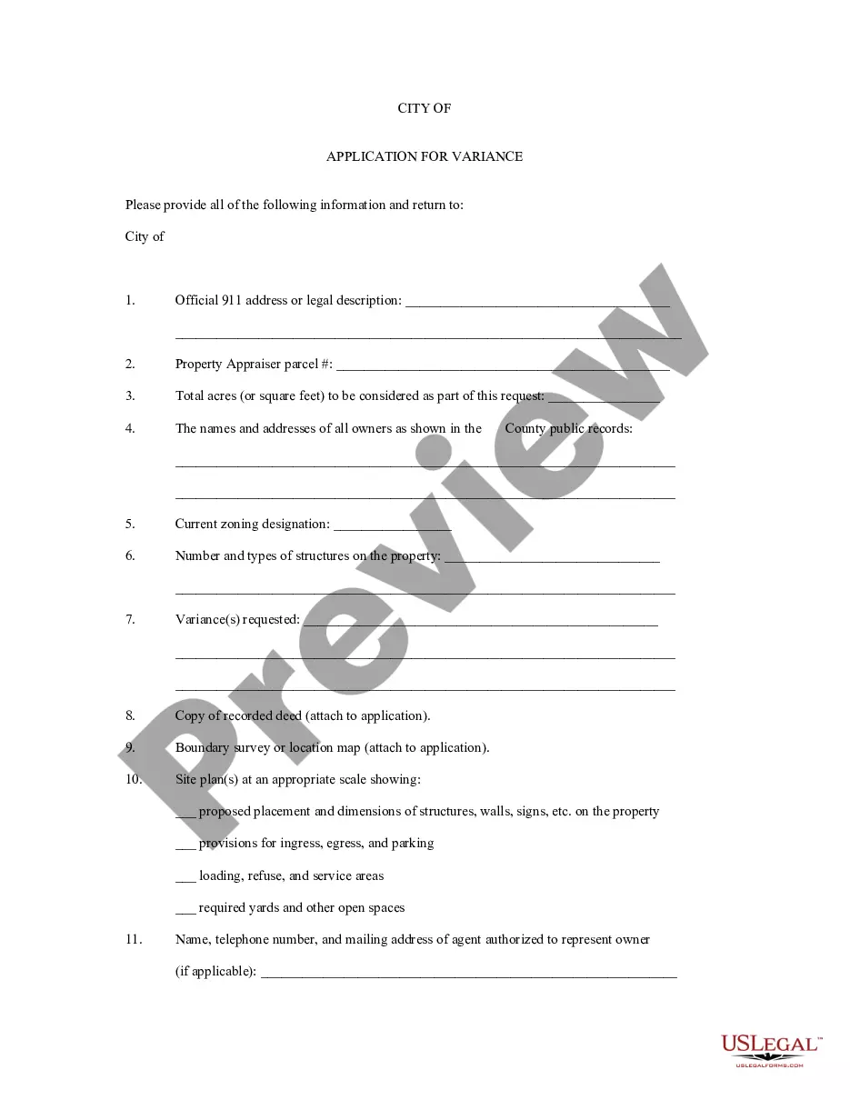
Applications for zoning map amendments must include specific information with respect to the proposed development after rezoning. Applications must be made by the owner of the property to be rezoned or include written authorization from the owner.
Retail storefronts on low-traffic streets. Apartments allowed above the ground floor.
Businesses and factories, no housing allowed. Serves as a buffer between manufacturing and residential/commercial districts.
Zoning can be classified by its purpose. There are five typical types of zoning: residential, commercial, industrial, mixed-use, and special districts. Residential zoning is designed for single family homes and small businesses. Commercial zoning is for larger businesses such as malls and factories.
The offices of the Zoning Administrator and the Commissioner of the Department of Planning and Development receive and review applications for zoning amendments. Each proposed map and text amendment application is then forwarded with a recommendation to the City Council Committee on Zoning.