Alaska Disputed Accounted Settlement
Description


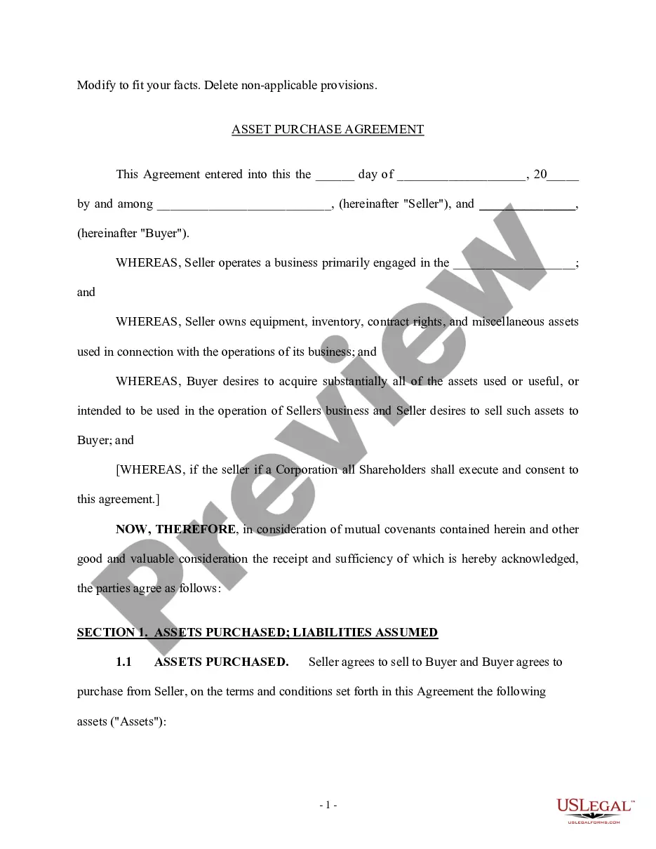
Get your form ready online
Our built-in tools help you complete, sign, share, and store your documents in one place.
Make edits, fill in missing information, and update formatting in US Legal Forms—just like you would in MS Word.
Download a copy, print it, send it by email, or mail it via USPS—whatever works best for your next step.
Sign and collect signatures with our SignNow integration. Send to multiple recipients, set reminders, and more. Go Premium to unlock E-Sign.
If this form requires notarization, complete it online through a secure video call—no need to meet a notary in person or wait for an appointment.
We protect your documents and personal data by following strict security and privacy standards.
Looking for another form?


How to fill out Disputed Accounted Settlement?
If you wish to comprehensive, obtain, or printing legal record web templates, use US Legal Forms, the greatest selection of legal varieties, that can be found on-line. Take advantage of the site`s basic and hassle-free research to get the papers you will need. Various web templates for enterprise and personal functions are categorized by classes and says, or keywords. Use US Legal Forms to get the Alaska Disputed Accounted Settlement with a handful of click throughs.
If you are presently a US Legal Forms buyer, log in to your profile and click the Acquire key to find the Alaska Disputed Accounted Settlement. You can even gain access to varieties you in the past downloaded in the My Forms tab of the profile.
If you use US Legal Forms for the first time, refer to the instructions below:
- Step 1. Be sure you have selected the shape to the correct town/region.
- Step 2. Utilize the Review option to look over the form`s information. Don`t overlook to see the explanation.
- Step 3. If you are unsatisfied with all the type, utilize the Research industry near the top of the monitor to discover other variations of the legal type template.
- Step 4. When you have found the shape you will need, click on the Acquire now key. Opt for the prices strategy you choose and put your qualifications to sign up to have an profile.
- Step 5. Approach the financial transaction. You can utilize your bank card or PayPal profile to accomplish the financial transaction.
- Step 6. Select the format of the legal type and obtain it in your device.
- Step 7. Comprehensive, revise and printing or sign the Alaska Disputed Accounted Settlement.
Every legal record template you purchase is your own for a long time. You have acces to every single type you downloaded inside your acccount. Click the My Forms segment and pick a type to printing or obtain again.
Contend and obtain, and printing the Alaska Disputed Accounted Settlement with US Legal Forms. There are millions of specialist and express-particular varieties you can use for your personal enterprise or personal demands.
Form popularity
FAQ
Alaska's western maritime boundary, separating the waters of the United States and Russia, was established in the Treaty of Cession of 1867 (which declared the transfer of Alaska from Russia to the United States).
There are two main reasons. First, Canada wasn't its own country in 1867. Second, Great Britain controlled the Canadian colonies. Russia did not want to sell Alaska to its rival.
An international tribunal was formed in 1903 to solve the Alaska Boundary Dispute. Made up of six impartial jurists from the US, Canada and England, the group ended up setting Alaska's eastern boundary 56km east of where the ocean touched the mainland coast.
The United States held that the line followed all the windings of the coast. The problem was referred to a joint arbitration commission of three Americans, two Canadians, and one Briton. The commission met in London in 1903. The United States claim was upheld by a vote of four to two.
An international tribunal was formed in 1903 to solve the Alaska Boundary Dispute. Made up of six impartial jurists from the US, Canada and England, the group ended up setting Alaska's eastern boundary 56km east of where the ocean touched the mainland coast.
Some 100,000 fortune seekers moved through Alaska to the Klondike gold region. The presence of gold and a large new population greatly increased the importance of the region and the desirability of fixing an exact boundary. Canada wanted an all-Canadian route from the gold fields to a seaport.
The treaty of 1867, by which the United States had bought Alaska from Russia, established the boundary of southeast Alaska (the Panhandle) as 30 miles (48 kilometers) from the coast. The entrance to the Klondike was through an inlet called Lynn Canal.
Canada wanted a direct route from the Klondike gold fields to the Pacific fjords, whereas the US wanted to maintain control of the intervening territory.