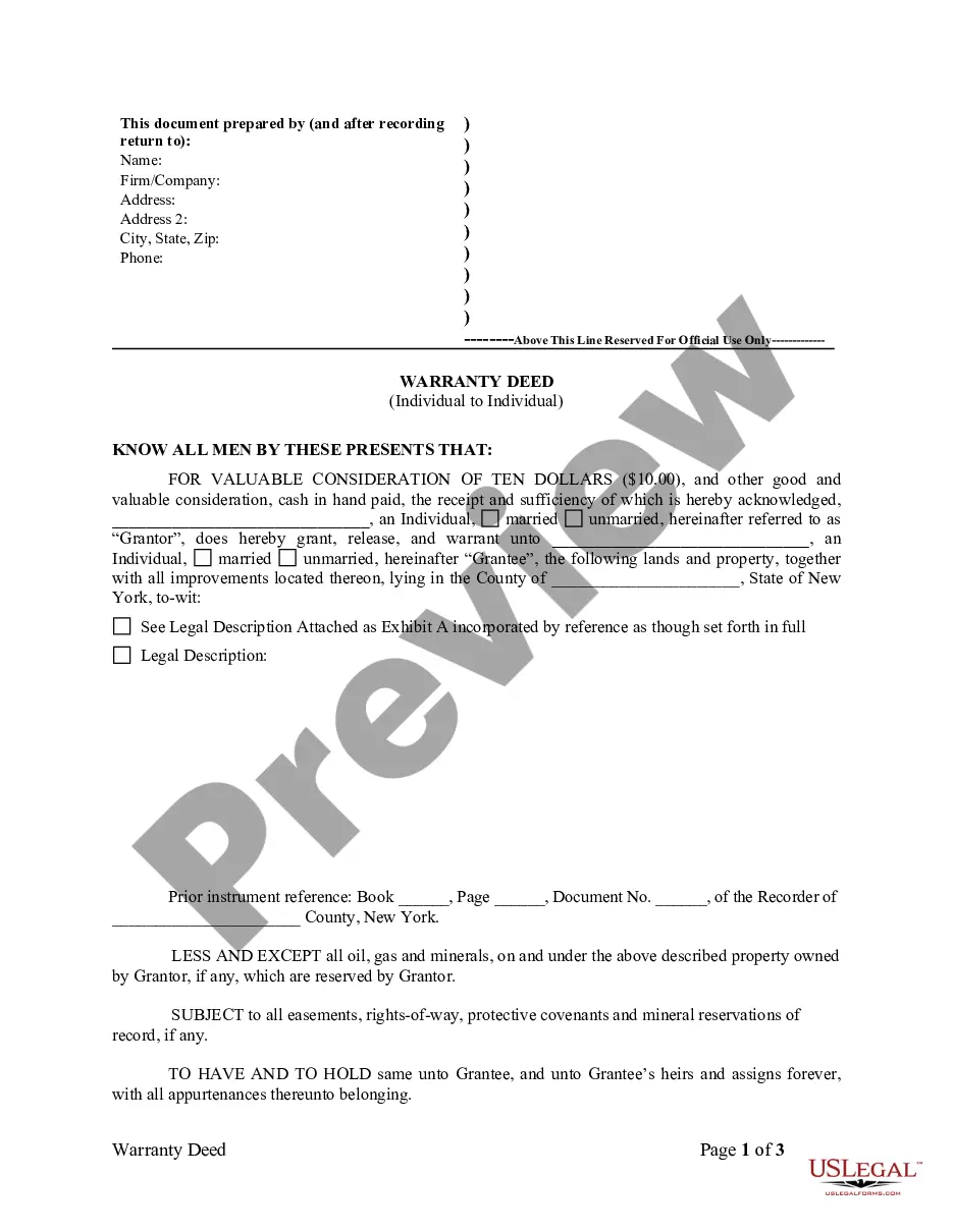
The legal description of a property is a written statement that provides an accurate and specific way to identify a parcel of land. This description is essential in real estate transactions, boundary disputes, and legal proceedings. It typically includes various elements such as distances, boundaries, landmarks, and even coordinates to precisely depict the location of the property. Legal descriptions with coordinates are highly accurate and useful in determining exact boundaries. Here are a few examples of legal property descriptions with coordinates: 1. Metes and Bounds: This type of legal description uses measurements and distances, typically in feet or meters, using physical landmarks and compass directions. An example with coordinates could be: "Beginning at a point marked by GPS coordinates 39.12345°N, 76.98765°W, then running 300 feet south to a point marked by GPS coordinates 39.12123°N, 76.98762°W, then turning west and running 200 feet to a point marked by GPS coordinates 39.12123°N, 76.98987°W, and so on." 2. Rectangular Survey System: Also known as the Public Land Survey System (PASS), this method is commonly used in the United States. It divides the land into townships and sections and assigns unique numbers to each. An example of a legal description with coordinates using the Rectangular Survey System could be: "The Southeast Quarter (SE ¼) of Section 10, Township 3 North, Range 2 West of the Fourth Principal Meridian, with GPS coordinates of the approximate center point 39.12345°N, 76.98765°W." 3. Lot and Block System: This system is often used in urban areas and subdivided neighborhoods. It involves referencing a recorded plat or map that identifies specific lots or blocks within a subdivision. An example of a legal description with coordinates using the Lot and Block System could be: "Lot 5, Block 2, Subdivision Name, as recorded in Plat Book X, Page Y of the County Records, with GPS coordinates of the lot's approximate center point 39.12345°N, 76.98765°W." These are just a few examples of legal property descriptions with coordinates. The use of coordinates ensures accuracy and helps stakeholders precisely locate and identify the boundaries of a property. Legal descriptions play a crucial role in real estate transactions, surveys, and property rights.
Legal Description Of Property Example With Coordinates
Description


How to fill out Legal Description Of Property Example With Coordinates?
Obtaining legal templates that comply with federal and regional regulations is a matter of necessity, and the internet offers a lot of options to choose from. But what’s the point in wasting time looking for the right Legal Description Of Property Example With Coordinates sample on the web if the US Legal Forms online library already has such templates accumulated in one place?
US Legal Forms is the most extensive online legal catalog with over 85,000 fillable templates drafted by lawyers for any business and personal situation. They are simple to browse with all files organized by state and purpose of use. Our professionals keep up with legislative updates, so you can always be confident your form is up to date and compliant when getting a Legal Description Of Property Example With Coordinates from our website.
Getting a Legal Description Of Property Example With Coordinates is quick and easy for both current and new users. If you already have an account with a valid subscription, log in and download the document sample you need in the right format. If you are new to our website, follow the guidelines below:
- Take a look at the template utilizing the Preview option or via the text outline to make certain it fits your needs.
- Locate a different sample utilizing the search function at the top of the page if necessary.
- Click Buy Now when you’ve located the suitable form and opt for a subscription plan.
- Register for an account or sign in and make a payment with PayPal or a credit card.
- Choose the right format for your Legal Description Of Property Example With Coordinates and download it.
All documents you find through US Legal Forms are multi-usable. To re-download and fill out previously obtained forms, open the My Forms tab in your profile. Take advantage of the most extensive and simple-to-use legal paperwork service!
Form popularity
FAQ
Metes & bounds is the legal description of a parcel of land that is measured in distances, angles, and directions.
When describing a line with a curve, the distance and direction of the curve must be provided. This can be stated such as ? thence on a curve to left having a radius of 205.76 feet?.? In some cases the bearing of the long chord can be included to provide more clarity.
The property description used in deeds and other land documents will refer to the name of the subdivision and the lot number. For example: "Lot 42, Block 3, of North Lakes Subdivision #1, ing to map or plat thereof as recorded in Plat Book 62, Page 9, of the Public Records of Orange County, Florida."
The best place to find a legal description is usually the most recent deed to the property (the deed that conveyed the property to the current owner). The legal description is usually contained in the body of the deed.
Metes and Bounds: a description beginning at a point and following all the boundary lines of a parcel of land around the perimeter and back to the point of beginning, by the use of a bearing and distance for each line of the boundary with the beginning point described and tied to a permanent known location such as a ...