Grantor conveys, with limited warranty, unto the grantees all of grantor's mineral interest, including but not limited to oil, gas, carbon dioxide, and all other minerals in, on and under certain property described in the document.
Nevada Oil, Gas and Mineral Deed - Individual to Two Individuals
Category:
State:
Multi-State
Control #:
US-00576-A
Format:
Word;
Rich Text
Instant download
Description
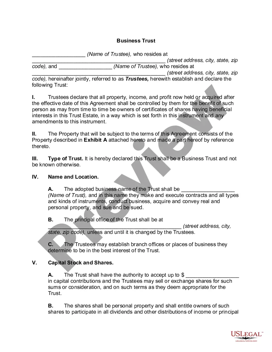
Free preview


How to fill out Oil, Gas And Mineral Deed - Individual To Two Individuals?
You may invest several hours on the web trying to find the legal file template that fits the state and federal demands you will need. US Legal Forms provides thousands of legal kinds which are examined by pros. It is simple to acquire or produce the Nevada Oil, Gas and Mineral Deed - Individual to Two Individuals from our service.
If you already have a US Legal Forms bank account, it is possible to log in and click on the Download switch. Afterward, it is possible to total, revise, produce, or sign the Nevada Oil, Gas and Mineral Deed - Individual to Two Individuals. Every legal file template you purchase is your own eternally. To acquire yet another backup for any obtained form, go to the My Forms tab and click on the related switch.
If you use the US Legal Forms web site the very first time, adhere to the straightforward instructions under:
- Initial, make sure that you have chosen the right file template for the county/metropolis of your choice. See the form outline to ensure you have picked out the right form. If accessible, take advantage of the Preview switch to check with the file template too.
- If you wish to get yet another variation of the form, take advantage of the Search field to obtain the template that meets your requirements and demands.
- When you have located the template you want, click on Buy now to continue.
- Find the prices plan you want, type your qualifications, and register for a merchant account on US Legal Forms.
- Full the financial transaction. You should use your Visa or Mastercard or PayPal bank account to purchase the legal form.
- Find the structure of the file and acquire it for your device.
- Make modifications for your file if required. You may total, revise and sign and produce Nevada Oil, Gas and Mineral Deed - Individual to Two Individuals.
Download and produce thousands of file layouts making use of the US Legal Forms Internet site, which offers the biggest assortment of legal kinds. Use expert and state-certain layouts to tackle your company or individual needs.
Form popularity
FAQ
A variety of methods may be used, including remote sensing (aerial photography and satellite images) and geochemical surveys (looking for chemicals in soil and water which indicate certain minerals are present).
To find information on mineral rights, you may also visit the county clerk's office in the county where the minerals are located. This office stores data, documents, and records of leases and deeds filed for mineral rights.
Spectral imaging is useful for detecting minerals in geologic formations and also for identifying minerals in sediments and accumulations of mine waste. Remote sensing offers the advantage of being able to evaluate large areas for mineral potential without the time and cost of on-the-ground fieldwork.
The best places to look for minerals are where there has been recent activity to create fresh exposures of rocks. This can include construction sites, new roads (including newly graveled areas), quarries, and mines.
While a geologist is mapping rock outcrops, samples of rock are also collected. These samples help determine if the rock contains mineral deposits. Samples collected on the surface of the ground can include pieces of rock, samples of soil as well as sediments.