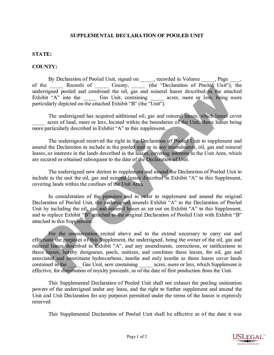
New Hampshire Correction to Unit Designation to Correct Depth
Description


How to fill out Correction To Unit Designation To Correct Depth?
Have you been in a place that you need to have files for either enterprise or person purposes nearly every day? There are plenty of lawful papers themes accessible on the Internet, but discovering ones you can trust is not simple. US Legal Forms delivers a large number of form themes, just like the New Hampshire Correction to Unit Designation to Correct Depth, which can be written in order to meet federal and state requirements.
When you are already familiar with US Legal Forms web site and possess a free account, merely log in. Following that, you may obtain the New Hampshire Correction to Unit Designation to Correct Depth web template.
Unless you offer an profile and need to begin to use US Legal Forms, follow these steps:
- Get the form you will need and ensure it is for the proper area/region.
- Make use of the Preview key to review the form.
- Read the description to actually have selected the proper form.
- When the form is not what you are searching for, use the Lookup field to find the form that meets your requirements and requirements.
- If you find the proper form, click on Acquire now.
- Choose the pricing program you need, complete the desired information to produce your bank account, and pay for the order using your PayPal or charge card.
- Select a hassle-free document formatting and obtain your copy.
Locate every one of the papers themes you possess purchased in the My Forms menus. You may get a additional copy of New Hampshire Correction to Unit Designation to Correct Depth whenever, if necessary. Just click on the needed form to obtain or print out the papers web template.
Use US Legal Forms, one of the most extensive collection of lawful forms, in order to save time and stay away from mistakes. The service delivers expertly made lawful papers themes that you can use for a range of purposes. Generate a free account on US Legal Forms and begin producing your life easier.