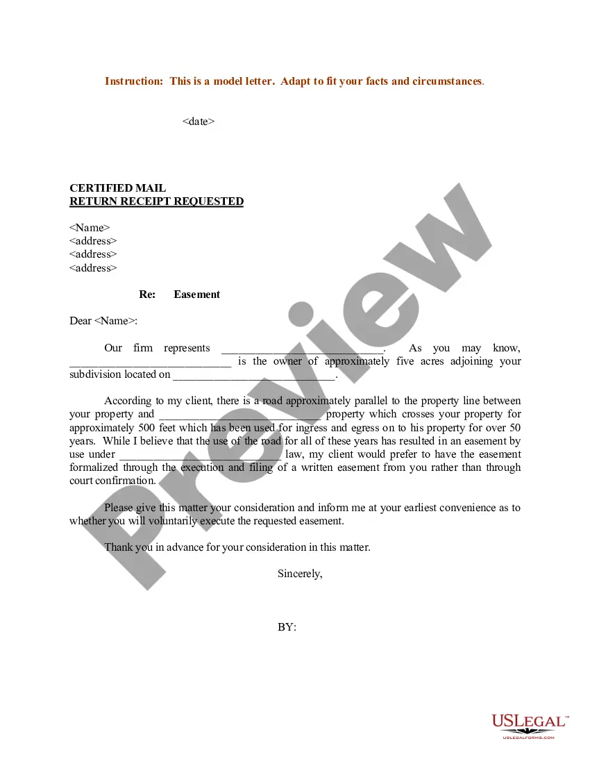
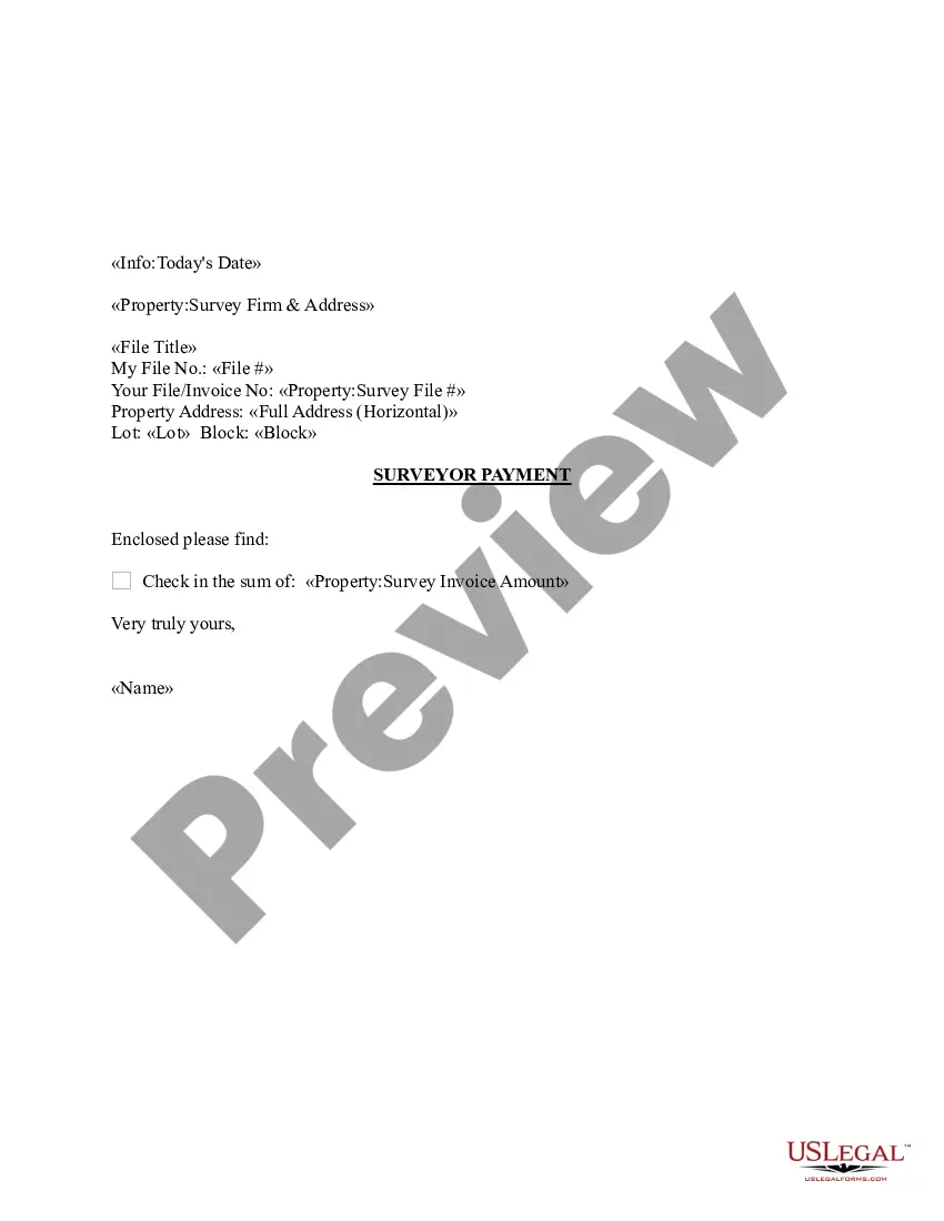
Maine Sample Letter regarding Survey Maps
Description
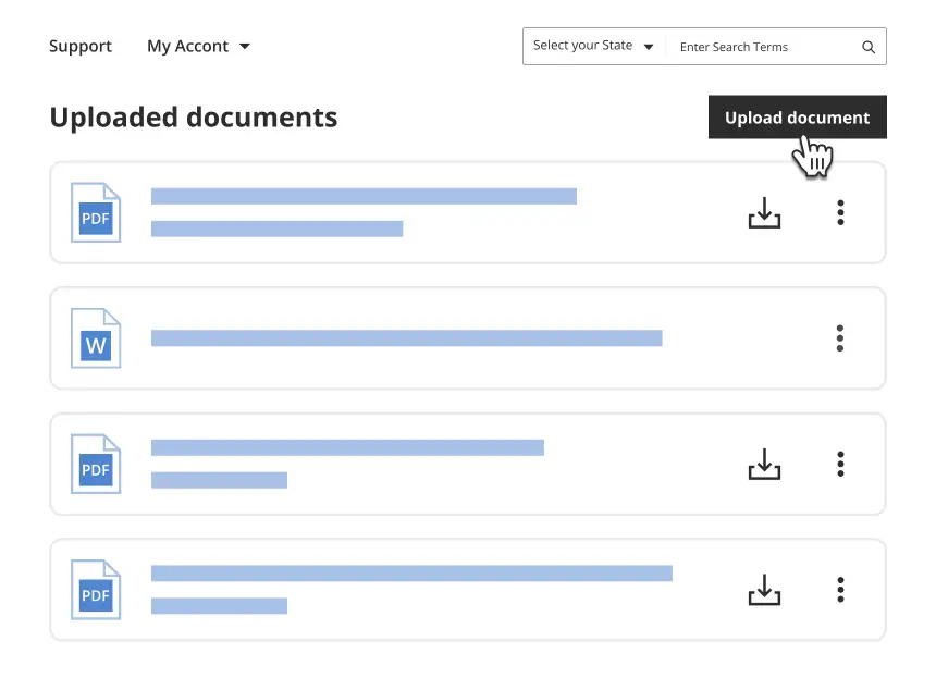
Get your form ready online
Our built-in tools help you complete, sign, share, and store your documents in one place.
Make edits, fill in missing information, and update formatting in US Legal Forms—just like you would in MS Word.
Download a copy, print it, send it by email, or mail it via USPS—whatever works best for your next step.
Sign and collect signatures with our SignNow integration. Send to multiple recipients, set reminders, and more. Go Premium to unlock E-Sign.
If this form requires notarization, complete it online through a secure video call—no need to meet a notary in person or wait for an appointment.
We protect your documents and personal data by following strict security and privacy standards.
Make edits, fill in missing information, and update formatting in US Legal Forms—just like you would in MS Word.
Download a copy, print it, send it by email, or mail it via USPS—whatever works best for your next step.
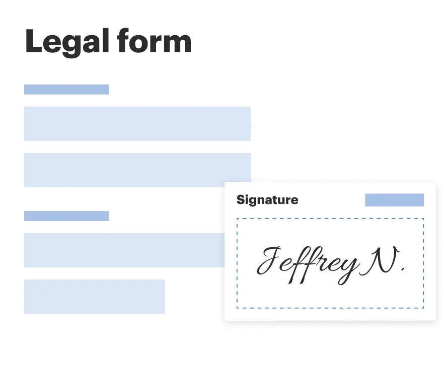
Sign and collect signatures with our SignNow integration. Send to multiple recipients, set reminders, and more. Go Premium to unlock E-Sign.

If this form requires notarization, complete it online through a secure video call—no need to meet a notary in person or wait for an appointment.
We protect your documents and personal data by following strict security and privacy standards.
Looking for another form?


How to fill out Sample Letter Regarding Survey Maps?
US Legal Forms - one of many biggest libraries of legal kinds in the States - provides a wide array of legal record web templates you may obtain or printing. Utilizing the website, you may get a large number of kinds for company and person reasons, categorized by groups, states, or keywords.You will find the most up-to-date versions of kinds like the Maine Sample Letter regarding Survey Maps within minutes.
If you currently have a subscription, log in and obtain Maine Sample Letter regarding Survey Maps from your US Legal Forms catalogue. The Down load switch will appear on every single form you see. You have access to all in the past saved kinds in the My Forms tab of the account.
If you wish to use US Legal Forms initially, here are easy instructions to help you began:
- Ensure you have selected the proper form for your personal metropolis/area. Click on the Review switch to examine the form`s content. See the form information to actually have selected the right form.
- In case the form doesn`t fit your requirements, make use of the Look for field at the top of the display to discover the the one that does.
- In case you are pleased with the form, affirm your choice by clicking the Acquire now switch. Then, select the pricing program you want and offer your credentials to sign up for the account.
- Procedure the financial transaction. Use your charge card or PayPal account to complete the financial transaction.
- Find the formatting and obtain the form on your own product.
- Make changes. Fill up, modify and printing and signal the saved Maine Sample Letter regarding Survey Maps.
Every single web template you added to your account lacks an expiration day and is the one you have eternally. So, in order to obtain or printing an additional duplicate, just proceed to the My Forms portion and click on around the form you require.
Obtain access to the Maine Sample Letter regarding Survey Maps with US Legal Forms, probably the most comprehensive catalogue of legal record web templates. Use a large number of skilled and condition-certain web templates that fulfill your business or person requires and requirements.
Form popularity
FAQ
Requirements Successful completion of the Principles & Practices of Surveying Exam (PS) and the Maine Specific Multiple Choice Exam (MSMC). 2 years progressive combined office and field experience as a Maine land-surveyor-in-training. A description of exam content is included in the application (PDF) materials.
Boundary Surveys Measure Property Lines In contrast to something like a topographic survey, which measures terrain and elevation, a boundary survey measures distance.
An average land survey costs $200 to $1,200. A boundary survey costs $500 to $1,000 for one acre with prices of $70 to $140 per acre for sites from 50 to 100 acres.
Steps to Survey Your Property with GPS Step 1: Plan Your Survey. Before you start surveying, it's important to have a clear plan in place. ... Step 2: Set Up Your GPS Receiver. ... Step 3: Collect Data. ... Step 4: Transfer Data to Mapping Software. ... Step 5: Analyze and Interpret the Data. ... Step 6: Use Your Survey Data.
A simple property boundary survey can cost anywhere from $100 to $600, while a mortgage survey costs an average of $500, ing to data from HomeAdvisor. The more complex a property's features and records history, the more you'll likely pay for a surveyor's time.
How much does a boundary survey cost in Maine? The price of a land survey will depend on many variables. In Maine, the cost can range from $300 to $4,000 or more. Unlike many states, Maine does not employ a Public Land Survey System and does not require land to be surveyed upon every conveyance.
After surveying, they will provide a type of map detailing the property's legal boundaries. The survey will also include a written description of the property, the street address, the location of buildings and adjacent properties, and any improvements a homeowner can make to the land.
EDMs give surveyors much more accuracy than metal measurement tapes. Various surveys, such as detail surveys and a control survey, use this technology. Surveyors calculate the horizontal distance between two control points using an EDM instrument. The device directs the energy to another surveyor holding a reflector.