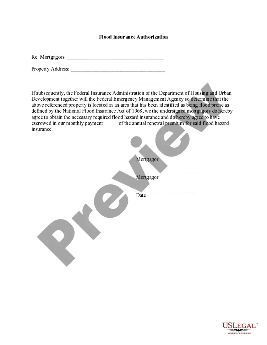
Kentucky Flood Zone Statement and Authorization
Understanding this form
The Flood Zone Statement and Authorization is a legal document used in real estate transactions. It is designed for sellers to disclose the flood zone status of a property and for buyers to acknowledge this status. Unlike other disclosure forms, this specific statement ensures both parties understand the potential risks associated with flooding and flood insurance obligations. This form helps facilitate transparency and protect the interests of both buyers and sellers regarding property insurance needs.
What’s included in this form
- Property address: identifies the specific location in question.
- Sellers' statement: confirms whether the property is in a flood-prone area or provides documentation if necessary.
- Buyers' acknowledgment: indicates the buyer's understanding of the property's flood zone status and their agreement to obtain insurance if required.
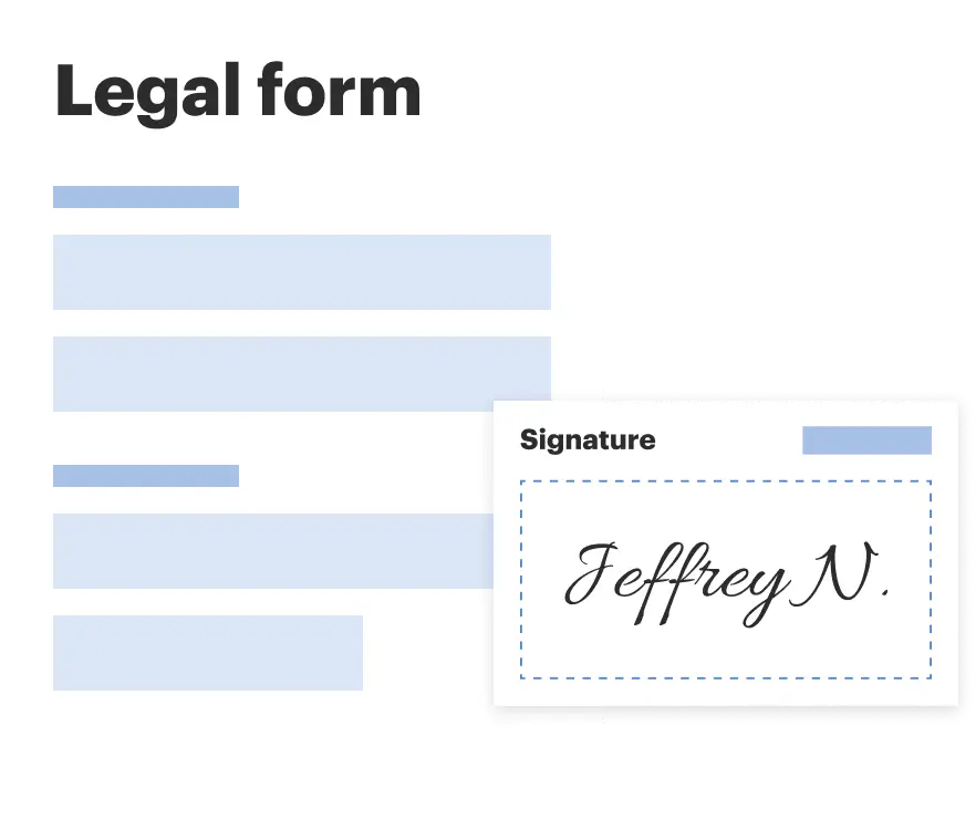
- Signatures: requires both sellers and buyers to sign and date, ensuring legal validity.


When this form is needed
This form is essential during the sale of a residential property situated in or near flood-prone areas. Use the Flood Zone Statement and Authorization when entering contracts to ensure all parties are informed about flood risks. It should be completed when buyers are securing loans that might require flood insurance or when sellers are obligated to disclose the flood zone status as part of the transaction process.
Who should use this form
- Sellers of residential properties: any individual or entity transferring ownership of real estate.
- Buyers of residential properties: individuals or entities purchasing real estate who need to confirm flood zone details.
- Real estate agents: professionals assisting in the transactions requiring necessary disclosures regarding flood zones.
Instructions for completing this form
- Identify the property: enter the full address of the property being sold.
- Check the appropriate seller's statement: confirm the flood zone status based on the seller's knowledge or attached documentation.
- Buyers' acknowledgment: have the buyers read and confirm their awareness of the flood zone status.
- Collect signatures: ensure all parties (sellers and buyers) sign and date the form to validate it.
Is notarization required?
Notarization is not commonly needed for this form. However, certain documents or local rules may make it necessary. Our notarization service, powered by Notarize, allows you to finalize it securely online anytime, day or night.
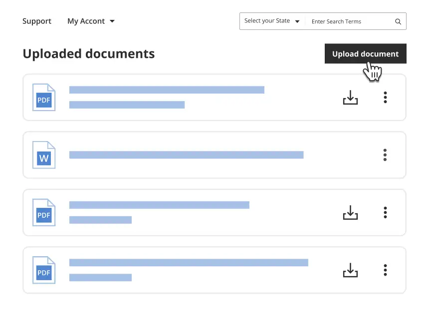
Get your form ready online
Our built-in tools help you complete, sign, share, and store your documents in one place.
Make edits, fill in missing information, and update formatting in US Legal Forms—just like you would in MS Word.
Download a copy, print it, send it by email, or mail it via USPS—whatever works best for your next step.
Sign and collect signatures with our SignNow integration. Send to multiple recipients, set reminders, and more. Go Premium to unlock E-Sign.
If this form requires notarization, complete it online through a secure video call—no need to meet a notary in person or wait for an appointment.
We protect your documents and personal data by following strict security and privacy standards.
Make edits, fill in missing information, and update formatting in US Legal Forms—just like you would in MS Word.
Download a copy, print it, send it by email, or mail it via USPS—whatever works best for your next step.
Sign and collect signatures with our SignNow integration. Send to multiple recipients, set reminders, and more. Go Premium to unlock E-Sign.

If this form requires notarization, complete it online through a secure video call—no need to meet a notary in person or wait for an appointment.
We protect your documents and personal data by following strict security and privacy standards.
Avoid these common issues
- Failing to check the correct flood zone status, leading to potential liability.
- Not attaching necessary documentation, such as surveys or flood certifications.
- Omitting signatures or dating the form improperly, which could invalidate it.
Benefits of completing this form online
- Convenience: download and fill out the form at your own pace.
- Editability: easily make changes before finalizing the document.
- Reliability: documents are prepared by licensed attorneys, ensuring legal compliance.
Key takeaways
- The form serves to clarify the flood zone status between sellers and buyers.
- Ensure all parties understand their responsibilities regarding flood insurance.
- Complete the form accurately to avoid legal complications in the sale process.
Looking for another form?
Form popularity
FAQ
The 1-percent annual chance flood is also referred to as the base flood or 100-year flood. SFHAs are labeled as Zone A, Zone AO, Zone AH, Zones A1-A30, Zone AE, Zone A99, Zone AR, Zone AR/AE, Zone AR/AO, Zone AR/A1-A30, Zone AR/A, Zone V, Zone VE, and Zones V1-V30.
Summary: Proximity to a flood zone lowers property values. By law, a property is considered in a flood zone if any part of the structure falls within a floodplain, an area that is adjacent to a stream or river that experiences periodic flooding.
Flood Zone A. Areas subject to inundation by the 1-percent-annual-chance flood event generally determined using approximate methodologies. Flood Zone AE, A1-30. Flood Zone AH. Flood Zone AO. Flood Zone AR. Flood Zone A99. Flood Zone V. Flood Zone VE, V1-30.
Evidence of flood insurance Completed and executed NFIP Flood Insurance Application PLUS a copy of the Borrower's premium check or agent's paid receipt.
AE flood zones are areas that present a 1% annual chance of flooding and a 26% chance over the life of a 30-year mortgage, according to FEMA.Since these areas are prone to flooding, homeowners with mortgages from federally regulated lenders are required to purchase flood insurance through the NFIP.
1Your local floodplain manager: Your local floodplain manager may already have a certificate on file.2The seller of your property: If you're buying a property, the sellers may already have the certificate, and you can ask them for it before purchasing.What Is An Elevation Certificate for Flood Insurance? - ValuePenguin\nwww.valuepenguin.com > elevation-certificate-flood-insurance
Zone A. Zone A is the flood insurance rate zone that corresponds to the I-percent annual chance floodplains that are determined in the Flood Insurance Study by approximate methods of analysis.
Flood zones are geographic areas that the FEMA has defined according to varying levels of flood risk. These zones are depicted on a community's Flood Insurance Rate Map (FIRM) or Flood Hazard Boundary Map. Each zone reflects the severity or type of flooding in the area.
A Flood Zone is a geographical area that is rated to reflect the severity or type of flooding in that area.Areas of minimal flood hazard, Zone C or Zone X are areas outside the SFHA and higher than the elevation of the 0.2-percent-annual-chance flood.