Boundary Lines For Project In California
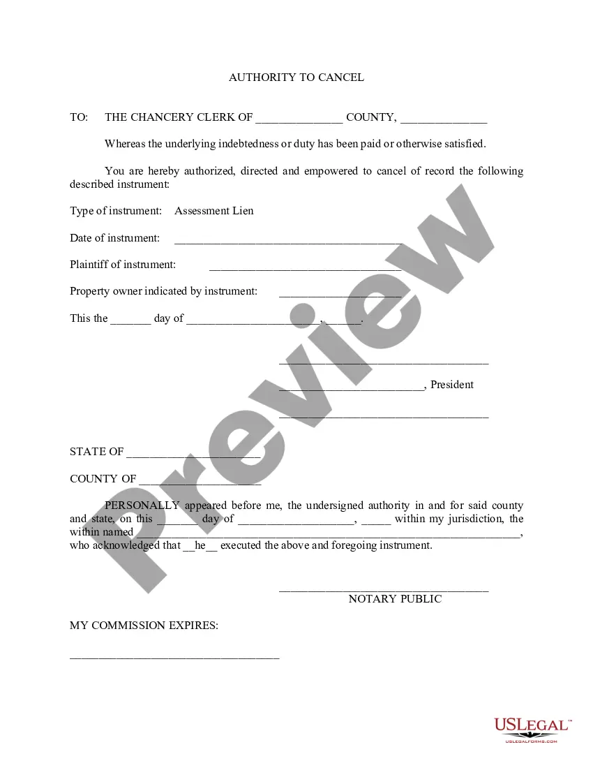
Description


Get your form ready online
Our built-in tools help you complete, sign, share, and store your documents in one place.
Make edits, fill in missing information, and update formatting in US Legal Forms—just like you would in MS Word.
Download a copy, print it, send it by email, or mail it via USPS—whatever works best for your next step.
Sign and collect signatures with our SignNow integration. Send to multiple recipients, set reminders, and more. Go Premium to unlock E-Sign.
If this form requires notarization, complete it online through a secure video call—no need to meet a notary in person or wait for an appointment.
We protect your documents and personal data by following strict security and privacy standards.

Make edits, fill in missing information, and update formatting in US Legal Forms—just like you would in MS Word.

Download a copy, print it, send it by email, or mail it via USPS—whatever works best for your next step.

Sign and collect signatures with our SignNow integration. Send to multiple recipients, set reminders, and more. Go Premium to unlock E-Sign.

If this form requires notarization, complete it online through a secure video call—no need to meet a notary in person or wait for an appointment.

We protect your documents and personal data by following strict security and privacy standards.
Looking for another form?


Form popularity
FAQ
California law recognizes the right of two adjoining landowners to agree on a specific line or marker to act as the property lines between the two parcels, notwithstanding the legal description in each parcel's deed.
Property ownership information can be requested from the County Registrar-Recorder/County Clerk. For more information, please visit their website to Request a Real Estate Record.
Hire a licensed land surveyor The most accurate way to know where your land begins and ends is to hire a surveyor to determine your property lines. The property surveyor will first check county records to understand the history of the lot.
However, the exact location of your property lines can only be verified by a licensed surveyor. The City cannot recommend any specific surveyor or survey company. You can search for California-licensed professional engineers and land surveyors by visiting the California Department of Consumer Affairs website.
In coastal areas, the state's Public Trust lands are generally defined as the land waterward of the ordinary high water mark as typically shown by the mean high tide line, where the average high tide meets the shoreline.
The state of California is located on the west coast of the United States of America. California is bordered to the north by the state of Oregon and to the east by the states of Nevada and Arizona. California shares its southern boundary with the country of Mexico. To the west lies the Pacific Ocean.
The San Andreas Fault is the transform plate boundary where a thin sliver of western California, as part of the Pacific Plate, slides north-northwestward past the rest of North America.
California has 58 counties.
Geologically, the San Andreas fault system is relatively young and has only existed for approximately 30 Ma. For most of California today, the plate boundary is the San Andreas transform fault system between the Pacific plate and the North American plate.
Special districts are public agencies created to provide one or more specific services to a community, such as water service, sewer service, parks, fire protection and others. California has nearly 3,300 special districts.