Survey Land Boundary With Neighbouring Countries
Description
Get your form ready online
Our built-in tools help you complete, sign, share, and store your documents in one place.
Make edits, fill in missing information, and update formatting in US Legal Forms—just like you would in MS Word.
Download a copy, print it, send it by email, or mail it via USPS—whatever works best for your next step.
Sign and collect signatures with our SignNow integration. Send to multiple recipients, set reminders, and more. Go Premium to unlock E-Sign.
If this form requires notarization, complete it online through a secure video call—no need to meet a notary in person or wait for an appointment.
We protect your documents and personal data by following strict security and privacy standards.
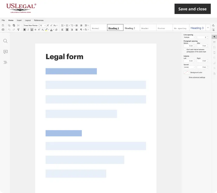
Make edits, fill in missing information, and update formatting in US Legal Forms—just like you would in MS Word.
Download a copy, print it, send it by email, or mail it via USPS—whatever works best for your next step.
Sign and collect signatures with our SignNow integration. Send to multiple recipients, set reminders, and more. Go Premium to unlock E-Sign.

If this form requires notarization, complete it online through a secure video call—no need to meet a notary in person or wait for an appointment.
We protect your documents and personal data by following strict security and privacy standards.
Looking for another form?


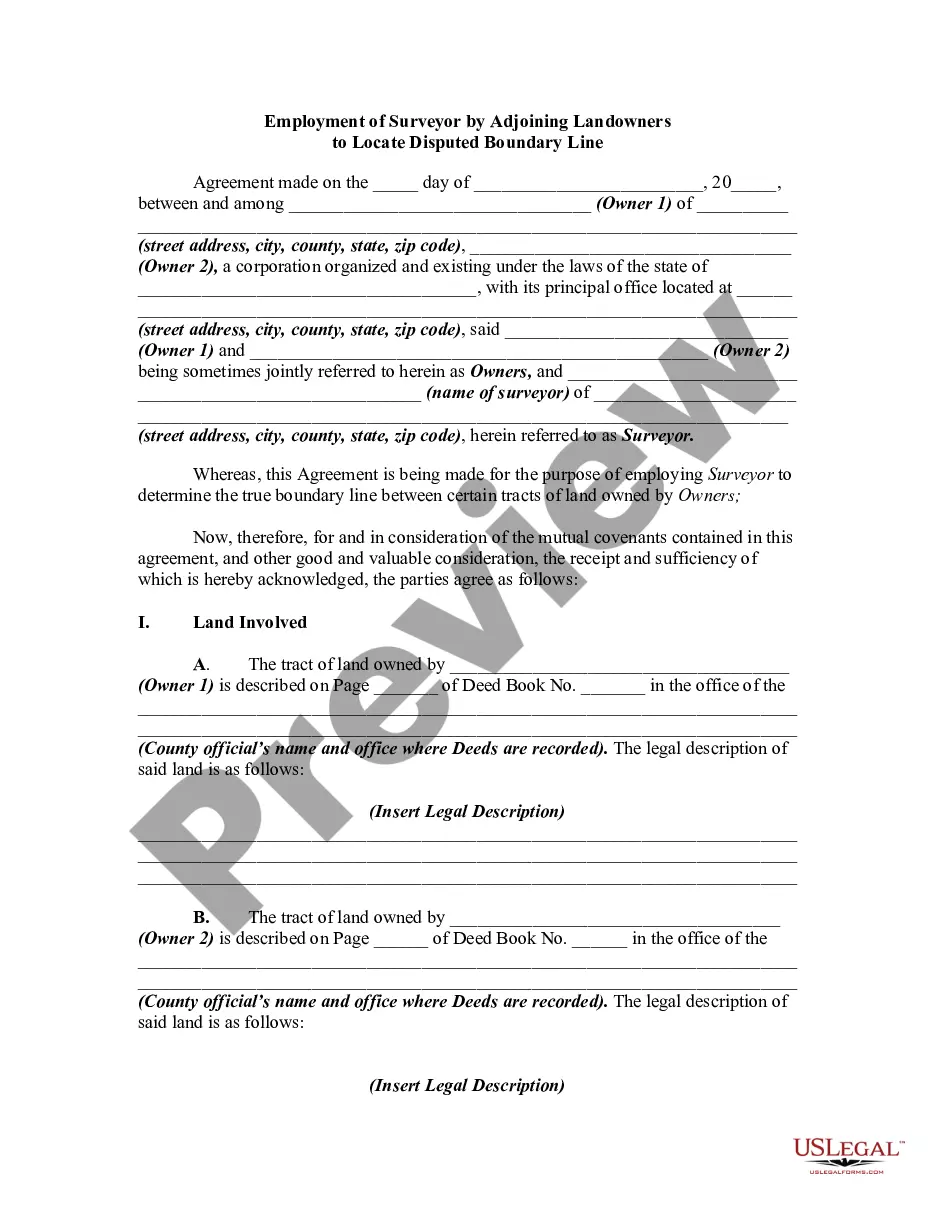
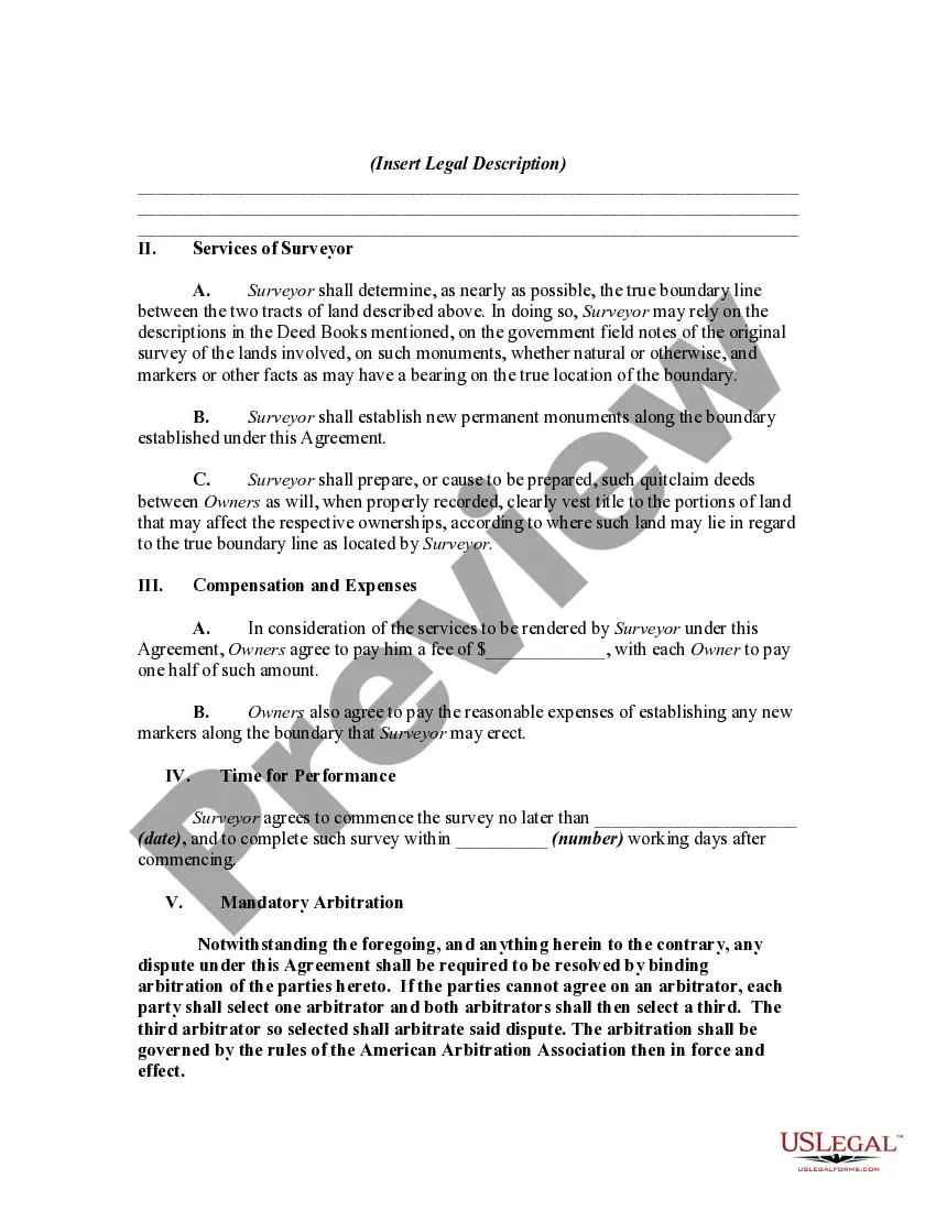
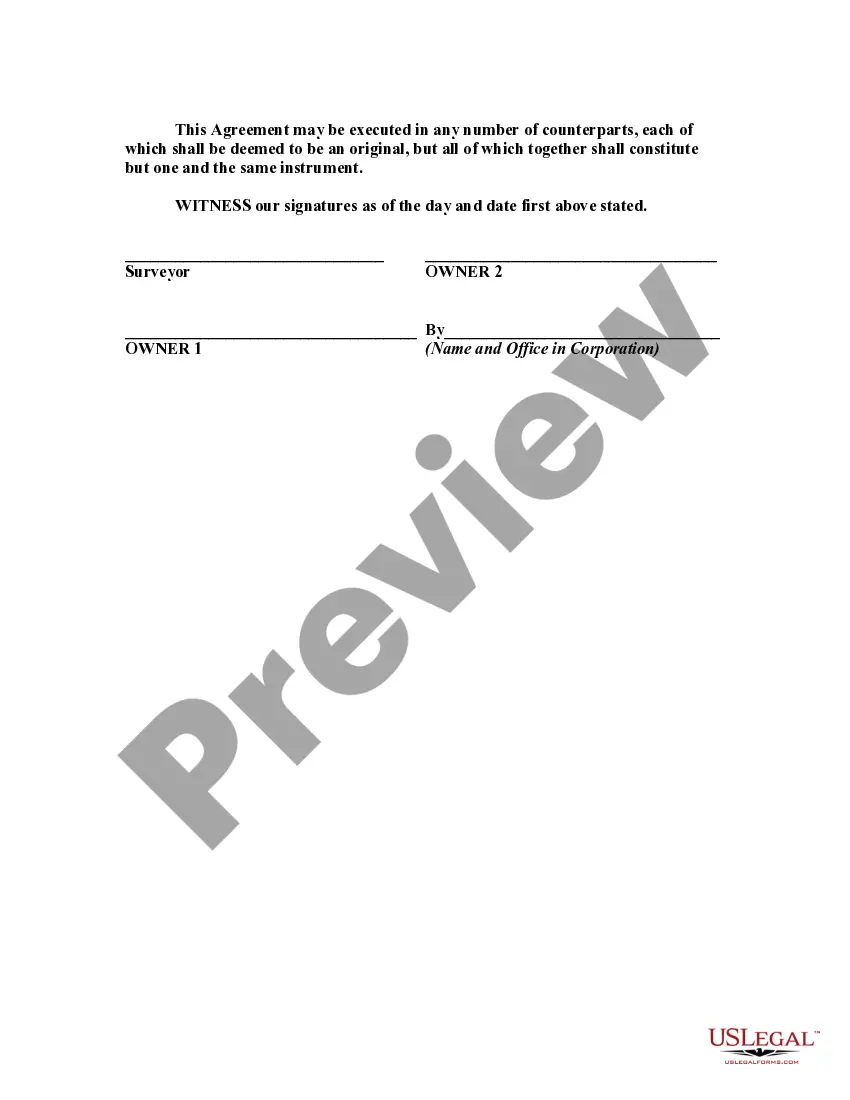
How to fill out Employment Of Surveyor By Adjoining Landowners To Locate Disputed Boundary Line?
Dealing with legal documents and processes can be a lengthy addition to the day.
Survey Land Boundary With Neighboring Countries and similar forms frequently necessitate you to search for them and figure out how to complete them efficiently.
Consequently, if you are managing financial, legal, or personal issues, utilizing a comprehensive and functional online directory of forms readily available will greatly help.
US Legal Forms is the leading online platform for legal templates, boasting over 85,000 state-specific forms and a variety of resources to help you finish your paperwork swiftly.
Is this your first experience with US Legal Forms? Sign up and create a free account in a few minutes and you’ll gain access to the form directory and Survey Land Boundary With Neighboring Countries. Then, follow the instructions below to complete your form: Ensure you have located the correct form using the Review feature and examining the form details. Click Buy Now when ready, and select the subscription plan that fits you. Opt for Download then fill out, eSign, and print the form. US Legal Forms has twenty-five years of expertise aiding clients in managing their legal documentation. Obtain the form you need today and improve any process without hassle.
- Browse the directory of relevant documents accessible to you with just one click.
- US Legal Forms offers you state- and county-specific forms available at any time for download.
- Safeguard your document management tasks by utilizing a high-quality service that allows you to create any form in minutes without any extra or concealed fees.
- Simply Log In to your account, search for Survey Land Boundary With Neighboring Countries and obtain it instantly within the My documents section.
- You can also access previously stored forms.
Form popularity
FAQ
Unlike topographic surveys, which mainly consist of fieldwork, boundary surveys also require research with local records. Surveyors will take measurements on the field and cross-reference them with historical records to ensure accuracy.
Rationale: As there are often differences or ambiguities in a parcel description, numerous judicial decisions have handed down the following order of importance of evidence to resolve the ambiguity: first, evidence of natural boundaries; second, evidence of original monuments; third, evidence of occupation (possession) ...
The order of dignity of calls in a survey is as follows: (1) Natural objects (rivers, etc.). (2) Artificial objects (marked trees, stone mounds, adjoinder calls, etc.). (3) Courses (bearings).
The demarcation, or the transfer of the delineation document to the terrain, is almost purely a technical operation, carried out jointly by the surveyors, acting as boundary engineers, of both parties. The result is a record of great importance in avoiding future disputes.
Canada has a vast geography that occupies much of the continent of North America, sharing a land border with the contiguous United States to the south and the U.S. state of Alaska to the northwest. Canada stretches from the Atlantic Ocean in the east to the Pacific Ocean in the west; to the north lies the Arctic Ocean.