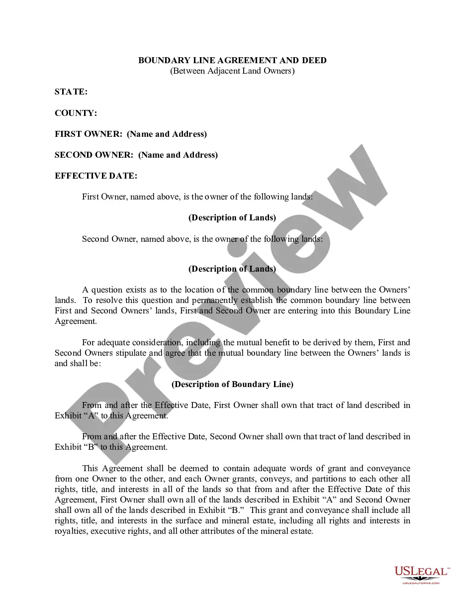
Eugene Oregon Property Line Adjustment Deed
Description


How to fill out Oregon Property Line Adjustment Deed?
If you have previously employed our service, sign in to your account and retrieve the Eugene Oregon Property Line Adjustment Deed on your device by clicking the Download button. Ensure that your subscription remains active. If it has expired, renew it per your payment plan.
If this is your initial interaction with our service, follow these straightforward steps to acquire your file.
You have ongoing access to all documents you have acquired: you can locate them in your profile under the My documents section whenever you need to refer to them again. Utilize the US Legal Forms service to efficiently find and download any template for your personal or business purposes!
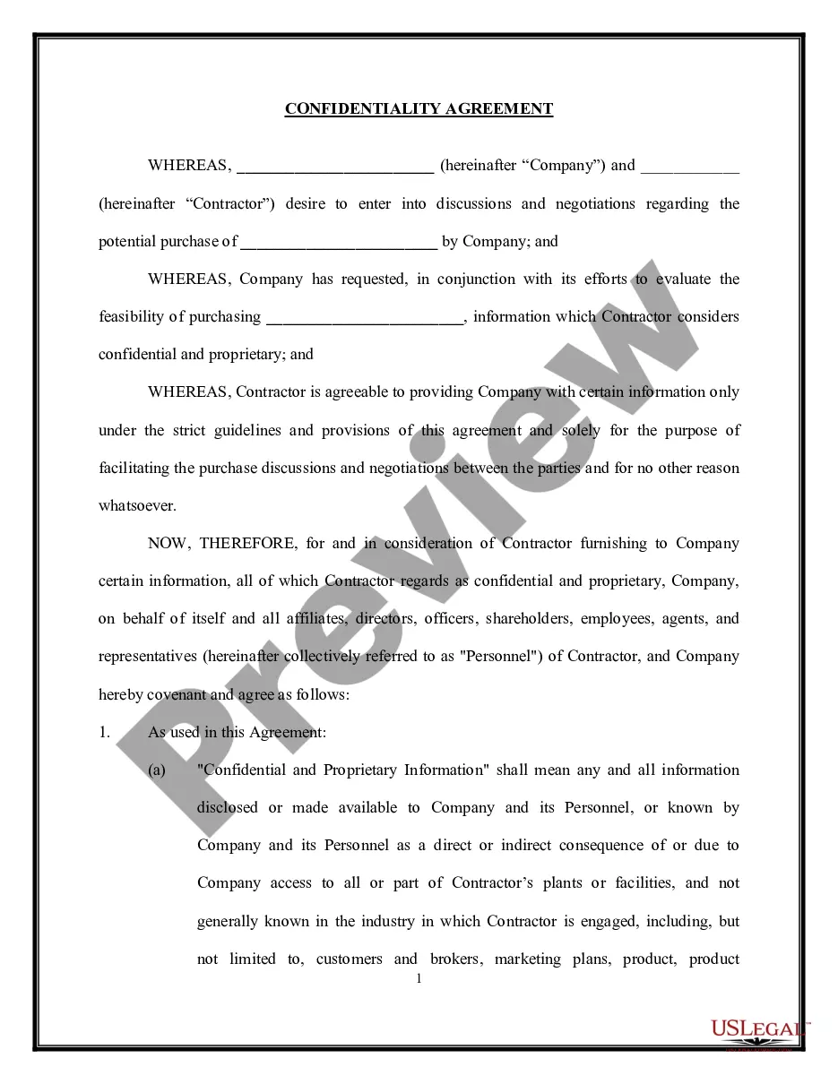
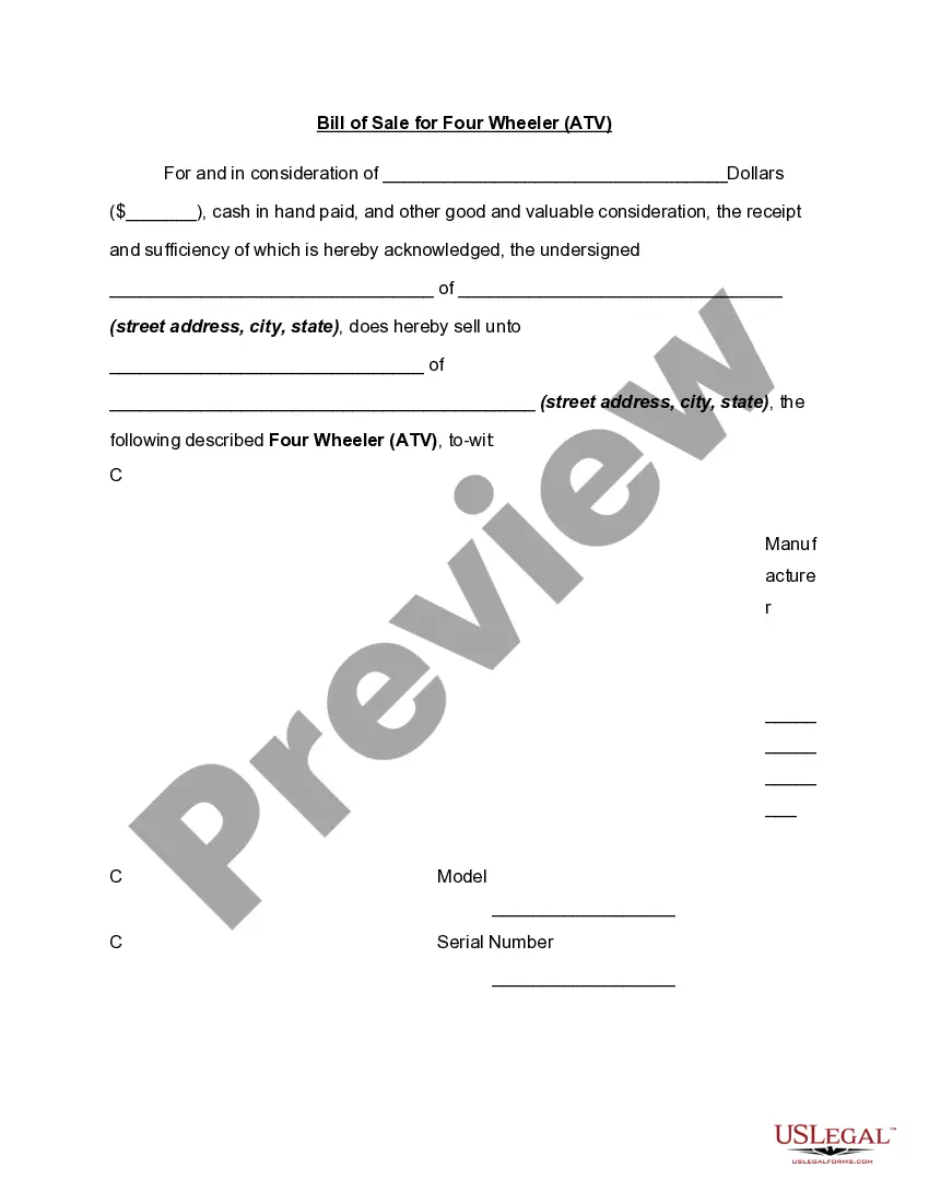
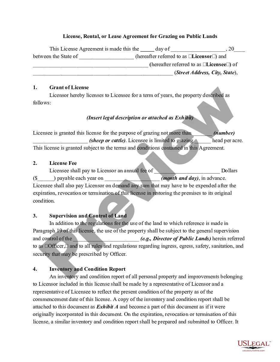
- Confirm you’ve located an appropriate document. Browse through the description and use the Preview feature, if available, to ascertain if it satisfies your needs. If it doesn’t fit, use the Search tab above to find a suitable one.
- Acquire the template. Hit the Buy Now button and choose a monthly or yearly subscription option.
- Create an account and process your payment. Utilize your credit card information or the PayPal method to finalize the transaction.
- Receive your Eugene Oregon Property Line Adjustment Deed. Select the file type for your document and download it to your device.
- Complete your document. Print it or make use of online editing tools to fill it out and sign it electronically.
Form popularity
FAQ
A lot line adjustment modifies the boundaries between two or more properties without creating new lots, utilizing a Eugene Oregon Property Line Adjustment Deed. In contrast, a lot merger combines two or more adjoining lots into a single parcel. Understanding these differences is crucial for property owners seeking to optimize their land use. Both processes require specific approvals, so it's wise to consult legal resources like US Legal Forms for guidance.
To legally change property lines, you typically need a Eugene Oregon Property Line Adjustment Deed. This process generally involves submitting a request to your local planning department, where you may need to provide a survey of your property. You may also have to meet certain zoning requirements. Once approved, the deed will officially document the new property lines.
Lot adjustment involves the processes of changing the dimensions or configurations of existing lots. This can occur when owners want to merge two lots into one or split a lot into smaller pieces. To formalize such changes, it's essential to document them with an Eugene Oregon Property Line Adjustment Deed.
While the terms parcel and lot are often used interchangeably, they have distinct meanings in real estate. A parcel is a broader term that refers to a specific area of land, while a lot usually refers to a defined piece of land intended for development or sale. Understanding these definitions can be important when preparing documents like your Eugene Oregon Property Line Adjustment Deed.
A boundary adjustment is the legal process of changing the lines that separate two or more parcels of land. This can involve moving property lines to better suit the needs of the property owners. To complete this process, you typically need to file an Eugene Oregon Property Line Adjustment Deed.
In the city of Federal Way, a boundary line adjustment allows neighboring property owners to modify their property lines while maintaining the same number of lots. This adjustment often requires a review process and proper documentation, such as an Eugene Oregon Property Line Adjustment Deed, to ensure compliance with local regulations.
Yes, a boundary line adjustment is typically considered the same as a lot line adjustment. Both terms refer to the process of altering the property lines between two or more adjoining parcels of land. This procedure often involves the filing of an Eugene Oregon Property Line Adjustment Deed to legally record the changes.
Yes, a lot line adjustment is essentially the same as a boundary line adjustment. Both terms refer to the process of changing the property lines between adjacent properties. Understanding this can streamline your efforts when dealing with an Eugene Oregon Property Line Adjustment Deed, as these adjustments often require clear definitions of the new boundaries.
In Indiana, you can get a survey by contacting a licensed land surveyor located in your area. They will conduct a detailed examination of your property to determine your boundaries. If you are considering a property line adjustment in relation to an Eugene Oregon Property Line Adjustment Deed, it's essential to have a reliable survey to support your efforts.
To obtain a land survey, you should hire a licensed surveyor who is familiar with local regulations. They will assess your property and provide a professional survey that accurately depicts your property lines. This is particularly beneficial when dealing with an Eugene Oregon Property Line Adjustment Deed, as it helps ensure that all adjustments are properly documented and legal.