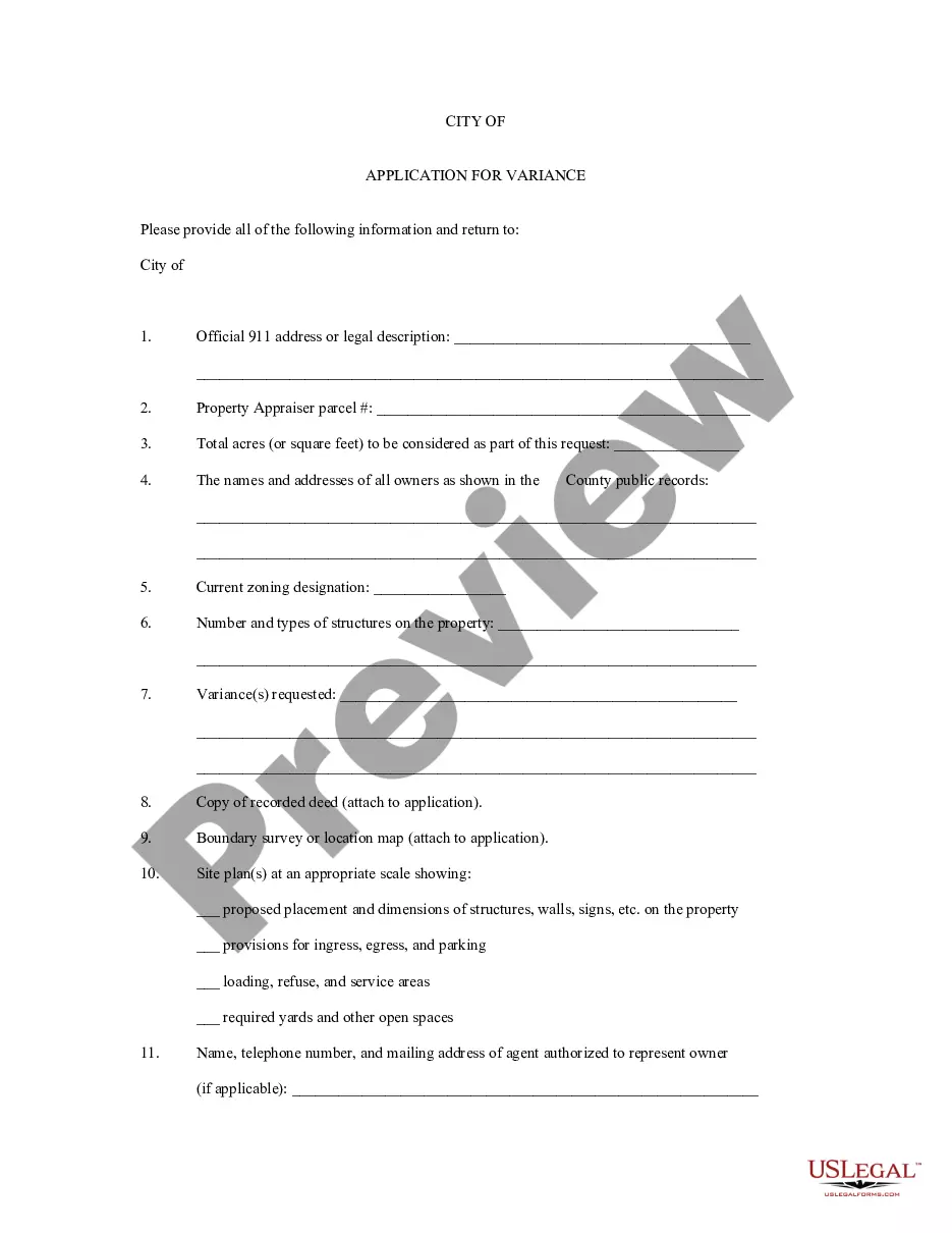
South Dakota Application for Rezoning and / or Future Land Use Map Amendment
Description


Get your form ready online
Our built-in tools help you complete, sign, share, and store your documents in one place.
Make edits, fill in missing information, and update formatting in US Legal Forms—just like you would in MS Word.
Download a copy, print it, send it by email, or mail it via USPS—whatever works best for your next step.
Sign and collect signatures with our SignNow integration. Send to multiple recipients, set reminders, and more. Go Premium to unlock E-Sign.
If this form requires notarization, complete it online through a secure video call—no need to meet a notary in person or wait for an appointment.
We protect your documents and personal data by following strict security and privacy standards.

Make edits, fill in missing information, and update formatting in US Legal Forms—just like you would in MS Word.

Download a copy, print it, send it by email, or mail it via USPS—whatever works best for your next step.

Sign and collect signatures with our SignNow integration. Send to multiple recipients, set reminders, and more. Go Premium to unlock E-Sign.

If this form requires notarization, complete it online through a secure video call—no need to meet a notary in person or wait for an appointment.

We protect your documents and personal data by following strict security and privacy standards.
Looking for another form?

How to fill out Application For Rezoning And / Or Future Land Use Map Amendment?
Are you within a position in which you need papers for both enterprise or individual reasons almost every day? There are a lot of authorized record web templates available on the net, but discovering types you can depend on isn`t effortless. US Legal Forms offers a huge number of type web templates, much like the South Dakota Application for Rezoning and / or Future Land Use Map Amendment, that are published to fulfill federal and state requirements.
When you are previously knowledgeable about US Legal Forms web site and also have an account, just log in. After that, you may download the South Dakota Application for Rezoning and / or Future Land Use Map Amendment design.
Unless you have an bank account and would like to begin to use US Legal Forms, follow these steps:
- Find the type you will need and ensure it is to the right town/state.
- Use the Review key to check the form.
- See the description to ensure that you have chosen the proper type.
- If the type isn`t what you`re trying to find, use the Search discipline to discover the type that meets your requirements and requirements.
- If you find the right type, just click Buy now.
- Pick the costs prepare you want, complete the specified details to make your bank account, and pay for the transaction making use of your PayPal or credit card.
- Choose a convenient data file format and download your backup.
Locate each of the record web templates you may have purchased in the My Forms menus. You may get a extra backup of South Dakota Application for Rezoning and / or Future Land Use Map Amendment at any time, if necessary. Just select the essential type to download or printing the record design.
Use US Legal Forms, one of the most considerable variety of authorized varieties, to save lots of some time and avoid errors. The service offers appropriately created authorized record web templates which you can use for a range of reasons. Make an account on US Legal Forms and initiate making your daily life easier.
Form popularity
FAQ
The comprehensive plan is the most important tool in land use planning. In its most basic function, it provides a roadmap for the development of a community's most limited resource, the land itself.
A comprehensive plan provides a vision for the future of the community along with the steps that are needed to make that vision a reality. It is the basis for land use regulations and provides a nexus between the community's future vision and the regulation of private property.
The Comprehensive Land Use Plan is an instrument for the local government unit to allocate available land resources to different sectors of its territory for different functions. There are four land use policy areas in land use planning: protection areas. production areas.
The Comprehensive Development Plan is a long-term plan for urban development. It describes how land is expected to be developed and how land uses may change over time to create a residential and employment hub.
The Comprehensive Land Use Plan is an instrument for the local government unit to allocate available land resources to different sectors of its territory for different functions.