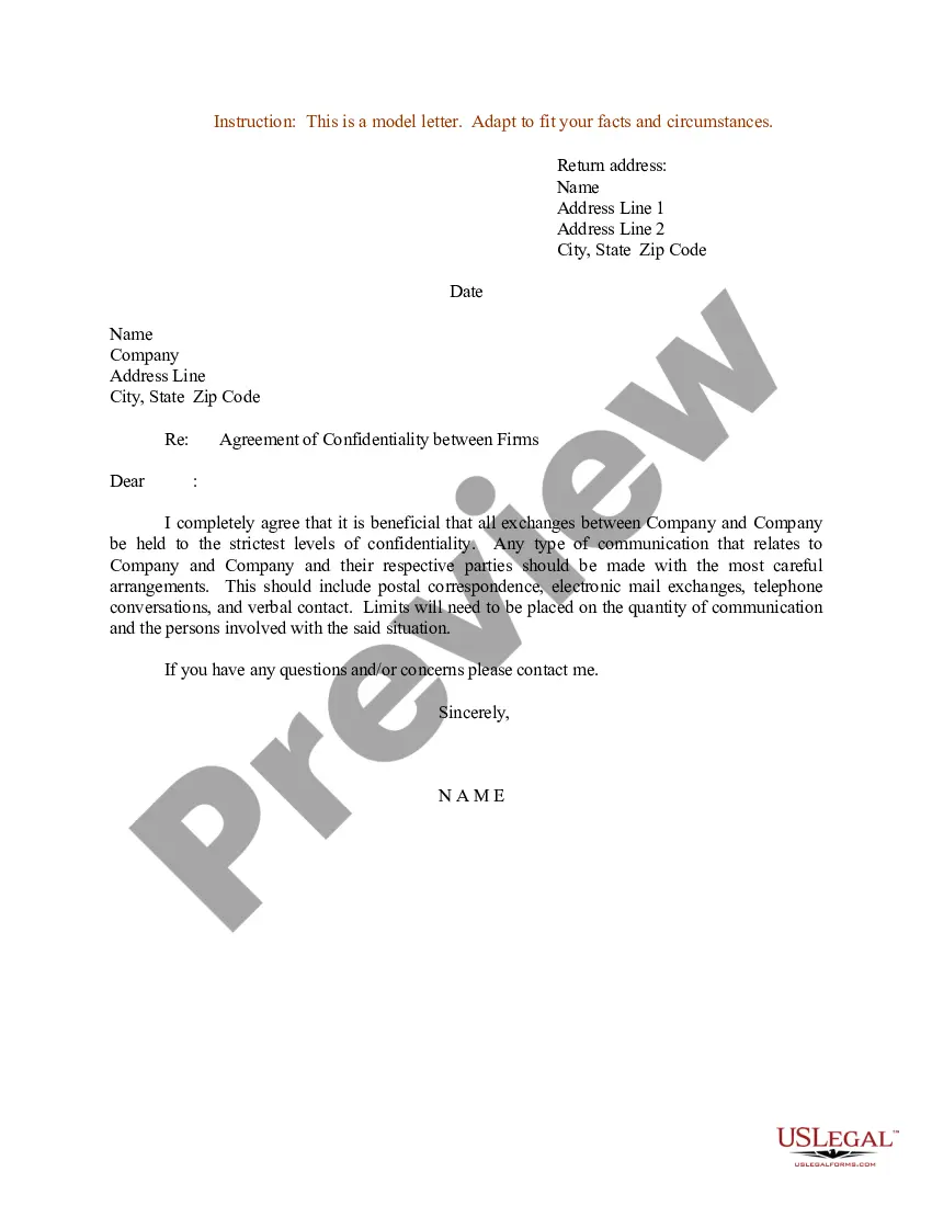
This lease rider form may be used when you are involved in a lease transaction, and have made the decision to utilize the form of Oil and Gas Lease presented to you by the Lessee, and you want to include additional provisions to that Lease form to address specific concerns you may have, or place limitations on the rights granted the Lessee in the “standard” lease form.
New Jersey Geophysical and Seismic Operations
Category:
State:
Multi-State
Control #:
US-OG-800
Format:
Word;
Rich Text
Instant download
Description
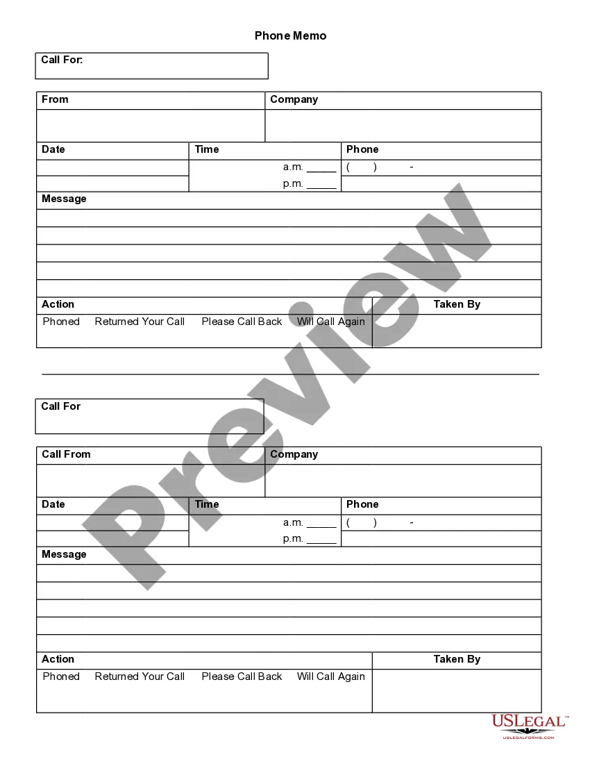
Free preview


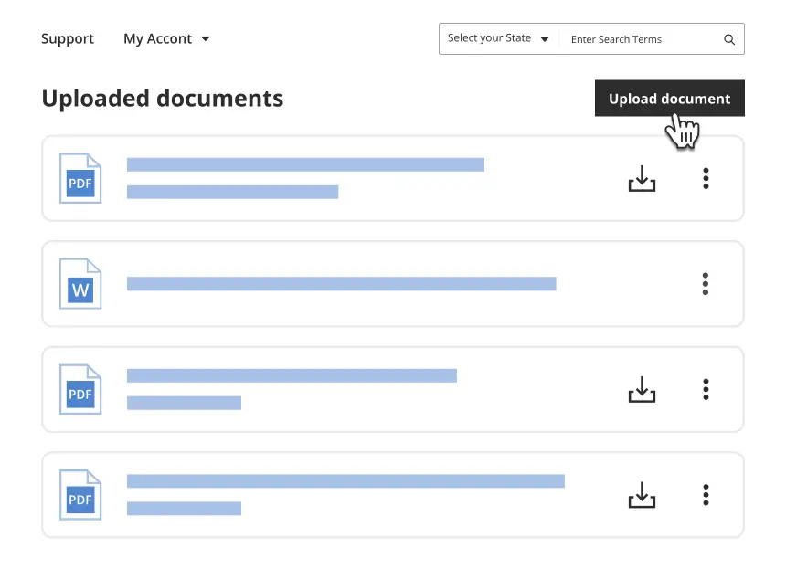
Get your form ready online
Our built-in tools help you complete, sign, share, and store your documents in one place.
Built-in online Word editor
Make edits, fill in missing information, and update formatting in US Legal Forms—just like you would in MS Word.
Export easily
Download a copy, print it, send it by email, or mail it via USPS—whatever works best for your next step.
E-sign your document
Sign and collect signatures with our SignNow integration. Send to multiple recipients, set reminders, and more. Go Premium to unlock E-Sign.
Notarize online 24/7
If this form requires notarization, complete it online through a secure video call—no need to meet a notary in person or wait for an appointment.
Store your document securely
We protect your documents and personal data by following strict security and privacy standards.
Make edits, fill in missing information, and update formatting in US Legal Forms—just like you would in MS Word.
Download a copy, print it, send it by email, or mail it via USPS—whatever works best for your next step.
Sign and collect signatures with our SignNow integration. Send to multiple recipients, set reminders, and more. Go Premium to unlock E-Sign.

If this form requires notarization, complete it online through a secure video call—no need to meet a notary in person or wait for an appointment.
We protect your documents and personal data by following strict security and privacy standards.
Looking for another form?


How to fill out Geophysical And Seismic Operations?
Are you in a placement where you need to have files for possibly enterprise or individual purposes almost every day? There are plenty of lawful papers layouts accessible on the Internet, but locating versions you can rely isn`t straightforward. US Legal Forms delivers a huge number of develop layouts, like the New Jersey Geophysical and Seismic Operations, which can be composed to satisfy state and federal requirements.
If you are already familiar with US Legal Forms website and also have an account, simply log in. Next, you can obtain the New Jersey Geophysical and Seismic Operations template.
If you do not provide an account and want to start using US Legal Forms, abide by these steps:
- Discover the develop you will need and make sure it is to the correct town/region.
- Utilize the Preview button to analyze the shape.
- Read the information to ensure that you have chosen the right develop.
- When the develop isn`t what you are trying to find, make use of the Look for area to find the develop that suits you and requirements.
- Whenever you discover the correct develop, just click Buy now.
- Pick the prices plan you need, submit the necessary information to generate your bank account, and pay money for the order with your PayPal or credit card.
- Select a convenient file formatting and obtain your backup.
Find all the papers layouts you possess purchased in the My Forms food selection. You can aquire a more backup of New Jersey Geophysical and Seismic Operations whenever, if necessary. Just go through the required develop to obtain or produce the papers template.
Use US Legal Forms, the most substantial collection of lawful kinds, to save lots of efforts and steer clear of faults. The support delivers professionally produced lawful papers layouts that can be used for a selection of purposes. Create an account on US Legal Forms and begin generating your lifestyle easier.
Form popularity
FAQ
They include the Passaic Formation, the Lockatong Formation, the Stockton Formation, and the igneous rocks basalt and diabase. In New Jersey, more basalt flows are evident with several named formations including the Hook Mountain Basalt, the Preakness Basalt, and the Orange Mountain Basalt.
Beginning in the northwest and proceeding southeast, these regions are called the Valley and Ridge, High- lands, Piedmont, and Coastal Plain Provinces.
Seismic methods are the most commonly conducted geophysical surveys for engineering investigations. Seismic refraction provides engineers and geologists with the most basic of geologic data via simple procedures with common equipment.
The bedrock of the Palisades, Rocky Hills, Sourland Mountain, and Cushetunk Mountain is formed by diabase, while the Watchung Mountain chain is underlain by basalt ? both due to lava flows. The lowland areas in between mountain ranges are underlain by sedimentary rock and form excellent aquifers.
REMOTE SENSING APPROACHES | Geophysical Seismic or acoustic methods measure the travel times of the reflected or refracted waves detected by a series of geophones placed on the ground surface and are able to estimate the location and depth of the targets.
Seismic refraction methods failed to produce satisfactory results when certain conditions or combinations of conditions existed. The great depths of alluvium created the problem of estimating the seismic traverse length necessary to accurately determine the alluvium-basement interface.
Kittatinny Mountain and Walpack Ridge are formed by sandstone, while Flat Brook and Delaware Valley became eroded, highlighting some gorgeous geologic formations at the Delaware Water Gap.
NEW JERSEY GEOLOGICAL SURVEY This large lake and its numerous shore levels was formed by advancing and retreating glaciers that dammed and breached regional water drainages. Ultimately they were succeeded by the modern rivers, streams and wetlands of today.