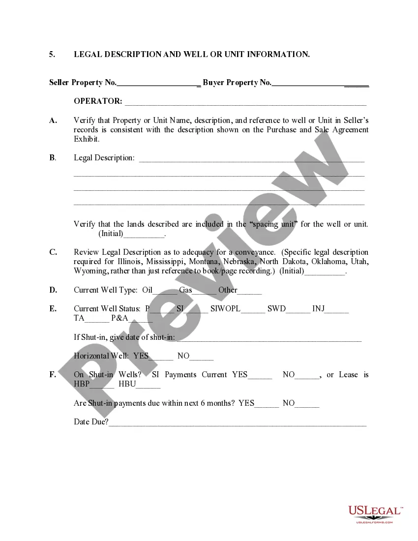
Michigan Legal Description and Well or Unit Information
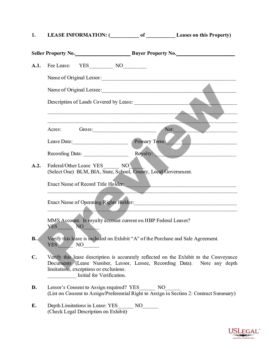
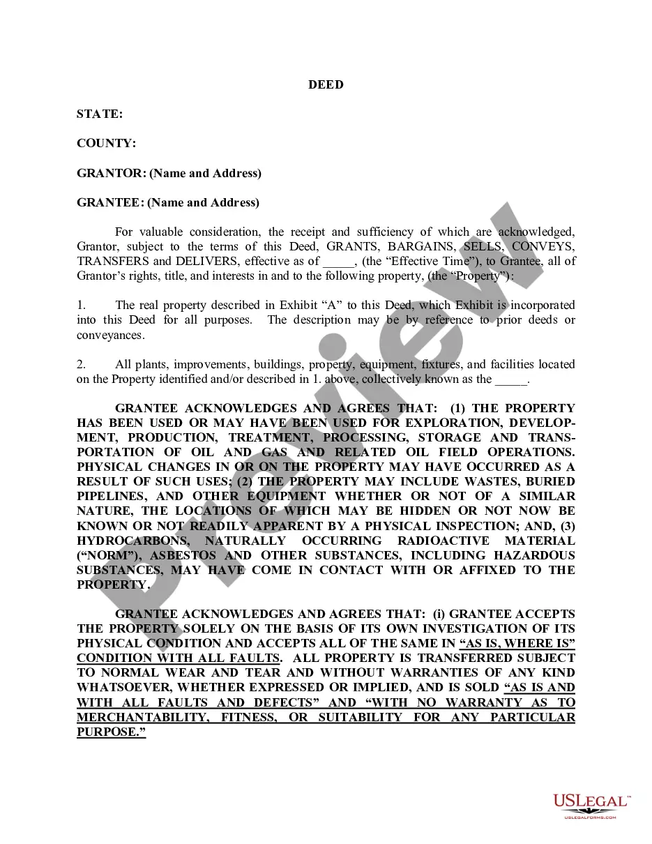
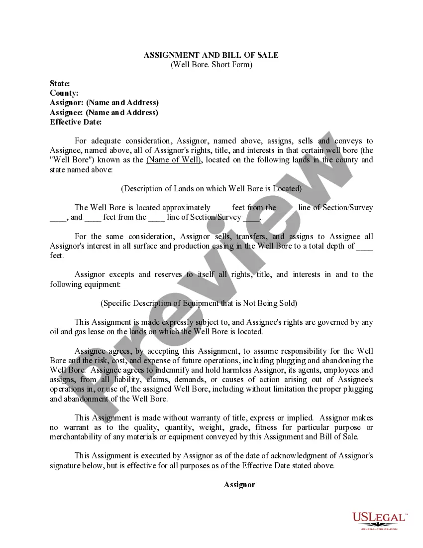
Description
Get your form ready online
Our built-in tools help you complete, sign, share, and store your documents in one place.
Make edits, fill in missing information, and update formatting in US Legal Forms—just like you would in MS Word.
Download a copy, print it, send it by email, or mail it via USPS—whatever works best for your next step.
Sign and collect signatures with our SignNow integration. Send to multiple recipients, set reminders, and more. Go Premium to unlock E-Sign.
If this form requires notarization, complete it online through a secure video call—no need to meet a notary in person or wait for an appointment.
We protect your documents and personal data by following strict security and privacy standards.
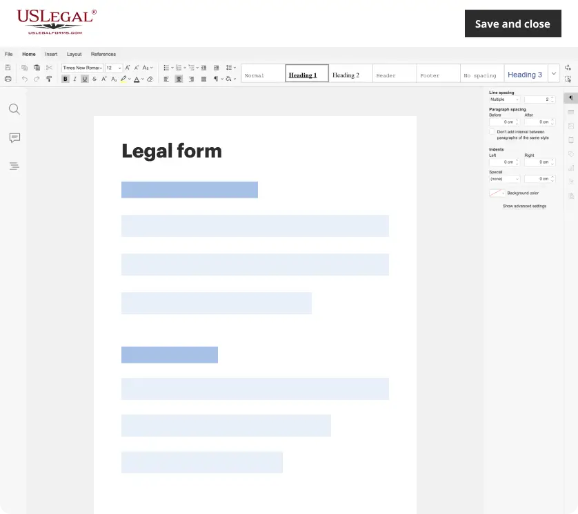
Make edits, fill in missing information, and update formatting in US Legal Forms—just like you would in MS Word.
Download a copy, print it, send it by email, or mail it via USPS—whatever works best for your next step.
Sign and collect signatures with our SignNow integration. Send to multiple recipients, set reminders, and more. Go Premium to unlock E-Sign.
If this form requires notarization, complete it online through a secure video call—no need to meet a notary in person or wait for an appointment.
We protect your documents and personal data by following strict security and privacy standards.
Looking for another form?
How to fill out Legal Description And Well Or Unit Information?
Choosing the right lawful papers design could be a battle. Obviously, there are tons of layouts accessible on the Internet, but how can you obtain the lawful type you want? Make use of the US Legal Forms internet site. The assistance offers thousands of layouts, like the Michigan Legal Description and Well or Unit Information, that can be used for company and private requirements. Every one of the kinds are checked by experts and meet state and federal needs.
In case you are already signed up, log in to the bank account and click on the Obtain switch to have the Michigan Legal Description and Well or Unit Information. Utilize your bank account to appear from the lawful kinds you have bought previously. Visit the My Forms tab of your respective bank account and have an additional backup from the papers you want.
In case you are a whole new user of US Legal Forms, listed below are simple recommendations so that you can comply with:
- Initially, make sure you have chosen the appropriate type for the city/county. You can look through the shape using the Preview switch and browse the shape explanation to make certain this is the right one for you.
- In case the type does not meet your needs, use the Seach discipline to get the right type.
- Once you are sure that the shape is proper, go through the Purchase now switch to have the type.
- Pick the costs prepare you need and type in the required information and facts. Build your bank account and purchase the order with your PayPal bank account or charge card.
- Pick the data file formatting and down load the lawful papers design to the device.
- Full, edit and printing and sign the attained Michigan Legal Description and Well or Unit Information.
US Legal Forms may be the greatest collection of lawful kinds that you can find various papers layouts. Make use of the service to down load expertly-made files that comply with state needs.
Form popularity
FAQ
A rectangular survey is read based on the state and meridian line and the property's location, directionally, to that line. The legal description includes the state name, the meridian name, the township and range directions, and usually the section number.
Metes and Bounds Example An example of a defined property line by metes and bounds would be ?Thence North 89 degrees, 39 minutes, 47 seconds West, a distance of 147.33 feet (the metes), along the southerly line of property now or formerly owned by John Smith (the bounds).?
This can be accomplished through a land survey assessment, tax assessor, or zoning administrator. After the assessment, the land can be recorded in the Register of Deeds. Then the new parcel can be marketed and sold. The original parcel is the parent parcel or parent tract.
Through the Register of Deeds, it is possible to find a residence or homeowner by performing a deed exploration. However, you need to figure out the county where the house you are trying to find is situated in Michigan.
The legal description of land follows a set sequence of quarter section, township, range, and meridian: the designation NW 27-9-25 W2, for instance, means the Northwest Quarter of Section 27 in Township 9 Range 25 West of the Second Meridian.
The best way to read land descriptions is from the rear or backwards. Descriptions of land are always read first from either the North or South. Every description of land should show the section, township and range it is located in.
From the Tie, the description specifies a direction, generally referred to as a course, and a distance to a corner of the claim. From that corner, the description continues to specify a direction and distance for each claim boundary. Courses are generally expressed as deflections from north and south.