This lease rider form may be used when you are involved in a lease transaction, and have made the decision to utilize the form of Oil and Gas Lease presented to you by the Lessee, and you want to include additional provisions to that Lease form to address specific concerns you may have, or place limitations on the rights granted the Lessee in the “standard” lease form.
Florida Geophysical and Seismic Operations
Category:
State:
Multi-State
Control #:
US-OG-800
Format:
Word;
Rich Text
Instant download
Description
Free preview


Get your form ready online
Our built-in tools help you complete, sign, share, and store your documents in one place.
Built-in online Word editor
Make edits, fill in missing information, and update formatting in US Legal Forms—just like you would in MS Word.
Export easily
Download a copy, print it, send it by email, or mail it via USPS—whatever works best for your next step.
E-sign your document
Sign and collect signatures with our SignNow integration. Send to multiple recipients, set reminders, and more. Go Premium to unlock E-Sign.
Notarize online 24/7
If this form requires notarization, complete it online through a secure video call—no need to meet a notary in person or wait for an appointment.
Store your document securely
We protect your documents and personal data by following strict security and privacy standards.
Make edits, fill in missing information, and update formatting in US Legal Forms—just like you would in MS Word.
Download a copy, print it, send it by email, or mail it via USPS—whatever works best for your next step.
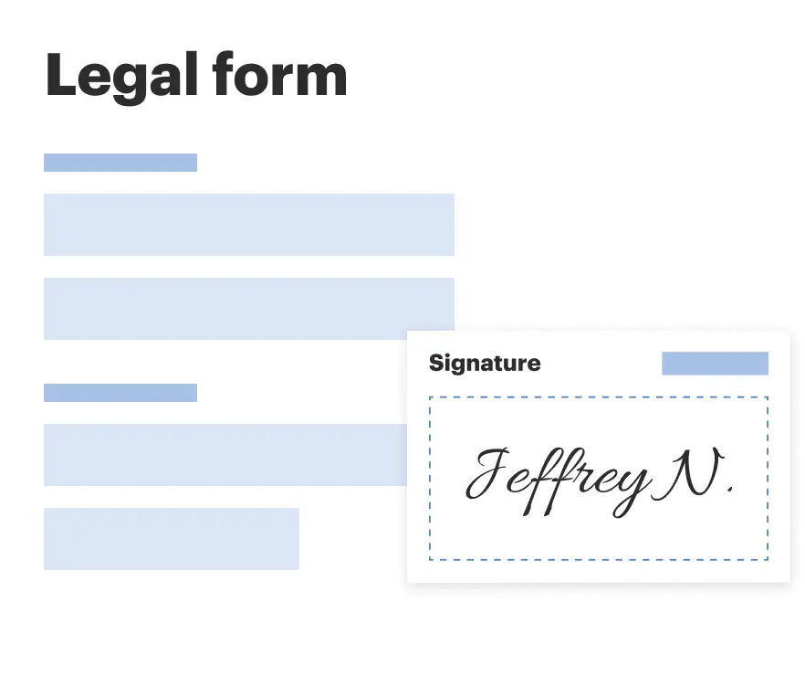
Sign and collect signatures with our SignNow integration. Send to multiple recipients, set reminders, and more. Go Premium to unlock E-Sign.

If this form requires notarization, complete it online through a secure video call—no need to meet a notary in person or wait for an appointment.
We protect your documents and personal data by following strict security and privacy standards.
Looking for another form?


How to fill out Geophysical And Seismic Operations?
Discovering the right legitimate papers design might be a struggle. Needless to say, there are plenty of web templates available on the Internet, but how do you obtain the legitimate develop you need? Make use of the US Legal Forms web site. The assistance provides a large number of web templates, for example the Florida Geophysical and Seismic Operations, that can be used for company and private demands. All of the forms are checked out by professionals and satisfy state and federal needs.
When you are already listed, log in in your bank account and click the Down load switch to have the Florida Geophysical and Seismic Operations. Use your bank account to check from the legitimate forms you have purchased earlier. Visit the My Forms tab of the bank account and obtain yet another version of your papers you need.
When you are a new consumer of US Legal Forms, here are simple guidelines that you should follow:
- First, make certain you have selected the proper develop for your city/region. It is possible to look through the form while using Review switch and look at the form description to make sure it will be the right one for you.
- When the develop does not satisfy your expectations, utilize the Seach industry to obtain the appropriate develop.
- Once you are certain that the form is proper, click the Purchase now switch to have the develop.
- Select the pricing strategy you would like and enter in the needed info. Create your bank account and purchase the transaction using your PayPal bank account or credit card.
- Choose the file formatting and down load the legitimate papers design in your device.
- Full, edit and print out and sign the obtained Florida Geophysical and Seismic Operations.
US Legal Forms is definitely the largest collection of legitimate forms in which you can see different papers web templates. Make use of the service to down load appropriately-manufactured files that follow condition needs.
Form popularity
FAQ
These methods are: Gravity method. Seismic method. Electromagnetic method. Geothermal method. Magnetic method. Electrical method. Radiometric method.
A hammer plate is a metal plate on which a sledgehammer is struck to generate seismic waves to conduct seismic refraction surveys. Seismic refraction is one of the methods of geophysics used to investigate subsurface ground conditions for trenchless operations. It utilizes seismic waves sourced from the ground surface.
There are three major types of seismic surveys: refraction, reflection, and surface-wave depending on the specific type of waves being utilized.
REMOTE SENSING APPROACHES | Geophysical Seismic or acoustic methods measure the travel times of the reflected or refracted waves detected by a series of geophones placed on the ground surface and are able to estimate the location and depth of the targets.
Seismic or acoustic methods measure the travel times of the reflected or refracted waves detected by a series of geophones placed on the ground surface and are able to estimate the location and depth of the targets.
Geophysical Methods These include electrical resistivity, magnetometry, gravitometry, and ground penetrating radar. These techniques allow the identification of archaeological sites and their layouts thus aiding the interpretation of ancient settlements and manmade structures prior to potential excavation.
35 C H A P T E R 4 Geophysical Investigations Introduction Geophysical investigations are used to estimate the physical properties of the subsurface by measuring, analyzing, and interpreting seismic, electrical, electromagnetic, gravitational, and magnetic fields measured at the ground surface or within boreholes.
Gardline leads the field in marine geophysical surveys.