Delaware Geophysical Permit
Description


Get your form ready online
Our built-in tools help you complete, sign, share, and store your documents in one place.
Make edits, fill in missing information, and update formatting in US Legal Forms—just like you would in MS Word.
Download a copy, print it, send it by email, or mail it via USPS—whatever works best for your next step.
Sign and collect signatures with our SignNow integration. Send to multiple recipients, set reminders, and more. Go Premium to unlock E-Sign.
If this form requires notarization, complete it online through a secure video call—no need to meet a notary in person or wait for an appointment.
We protect your documents and personal data by following strict security and privacy standards.
Make edits, fill in missing information, and update formatting in US Legal Forms—just like you would in MS Word.
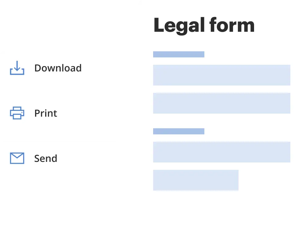
Download a copy, print it, send it by email, or mail it via USPS—whatever works best for your next step.
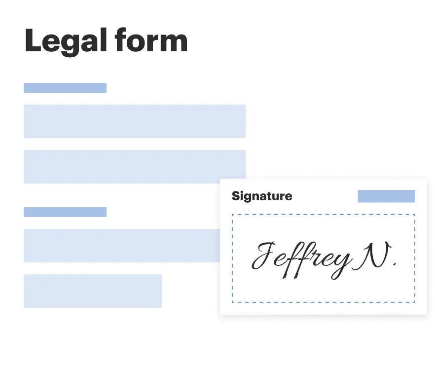
Sign and collect signatures with our SignNow integration. Send to multiple recipients, set reminders, and more. Go Premium to unlock E-Sign.

If this form requires notarization, complete it online through a secure video call—no need to meet a notary in person or wait for an appointment.
We protect your documents and personal data by following strict security and privacy standards.
Looking for another form?
How to fill out Geophysical Permit?
US Legal Forms - among the most significant libraries of legal varieties in America - delivers an array of legal document themes it is possible to obtain or print. Utilizing the web site, you can get a huge number of varieties for company and individual uses, categorized by groups, claims, or search phrases.You will discover the newest models of varieties much like the Delaware Geophysical Permit in seconds.
If you already have a registration, log in and obtain Delaware Geophysical Permit in the US Legal Forms collection. The Obtain key will show up on every type you look at. You have access to all earlier saved varieties inside the My Forms tab of your own accounts.
If you would like use US Legal Forms for the first time, here are straightforward recommendations to obtain started off:
- Be sure you have chosen the best type to your metropolis/state. Click the Review key to check the form`s content material. Look at the type description to actually have chosen the correct type.
- In case the type doesn`t suit your requirements, make use of the Search industry at the top of the monitor to get the one who does.
- When you are pleased with the form, confirm your option by simply clicking the Acquire now key. Then, select the costs strategy you like and provide your credentials to sign up on an accounts.
- Approach the purchase. Utilize your charge card or PayPal accounts to perform the purchase.
- Find the file format and obtain the form on your own device.
- Make modifications. Complete, edit and print and sign the saved Delaware Geophysical Permit.
Each and every format you included with your account lacks an expiry date which is your own for a long time. So, in order to obtain or print another version, just visit the My Forms segment and then click around the type you require.
Obtain access to the Delaware Geophysical Permit with US Legal Forms, the most substantial collection of legal document themes. Use a huge number of expert and status-specific themes that fulfill your business or individual requires and requirements.
Form popularity
FAQ
Mineral rights grant ownership to all of the oil and gas lying below the surface of the property, as well as the right to explore, drill, and produce oil and natural gas on that property or to lease such rights to a third party. Typically, mineral rights are perpetual.
General Offshore Geophysical Survey Permit This nonexclusive permit authorizes geophysical survey activity during the permit term. A General Offshore Geophysical Survey Permit is required for geophysical surveys utilizing low-energy equipment conducted in marine waters under the jurisdiction of the Commission.
Geophysical surveys are completed for a variety of reasons, from archaeological purposes to geological and mining. Archeologists will use geophysical surveys such as ground-penetrating radar (GPR) and magnetometers to identify subsurface artifacts such as underwater shipwrecks or underground burials. What Are Geophysical Surveys & Why Do They Matter rangefront.com ? blog ? what-are-geophysic... rangefront.com ? blog ? what-are-geophysic...
Geophysical data is used to provide information on the physical properties of the Earth's surface and subsurface. As a result, geophysical data can help locate hydrocarbons, minerals, aggregate, and other natural resources. Uses for Geophysical Data alaska.gov ? geophysics ? uses alaska.gov ? geophysics ? uses