Colorado Letter of Intent Acquisition of 3-D Data
Description


How to fill out Letter Of Intent Acquisition Of 3-D Data?
Finding the right authorized document design could be a battle. Needless to say, there are a variety of web templates available online, but how would you discover the authorized form you want? Take advantage of the US Legal Forms web site. The assistance gives a large number of web templates, including the Colorado Letter of Intent Acquisition of 3-D Data, which you can use for business and private needs. All of the varieties are inspected by experts and meet federal and state requirements.
If you are presently signed up, log in to your bank account and click the Download switch to obtain the Colorado Letter of Intent Acquisition of 3-D Data. Utilize your bank account to look through the authorized varieties you might have ordered earlier. Check out the My Forms tab of the bank account and get another version in the document you want.
If you are a brand new customer of US Legal Forms, allow me to share basic directions for you to adhere to:
- Initially, ensure you have chosen the proper form to your town/region. You are able to look over the form utilizing the Preview switch and read the form explanation to ensure it is the best for you.
- When the form is not going to meet your preferences, take advantage of the Seach area to find the correct form.
- When you are sure that the form is acceptable, go through the Buy now switch to obtain the form.
- Select the costs program you would like and type in the required info. Build your bank account and buy the transaction with your PayPal bank account or charge card.
- Opt for the file file format and down load the authorized document design to your gadget.
- Total, revise and printing and sign the attained Colorado Letter of Intent Acquisition of 3-D Data.
US Legal Forms will be the most significant collection of authorized varieties where you can see a variety of document web templates. Take advantage of the company to down load professionally-created files that adhere to status requirements.
Form popularity
FAQ
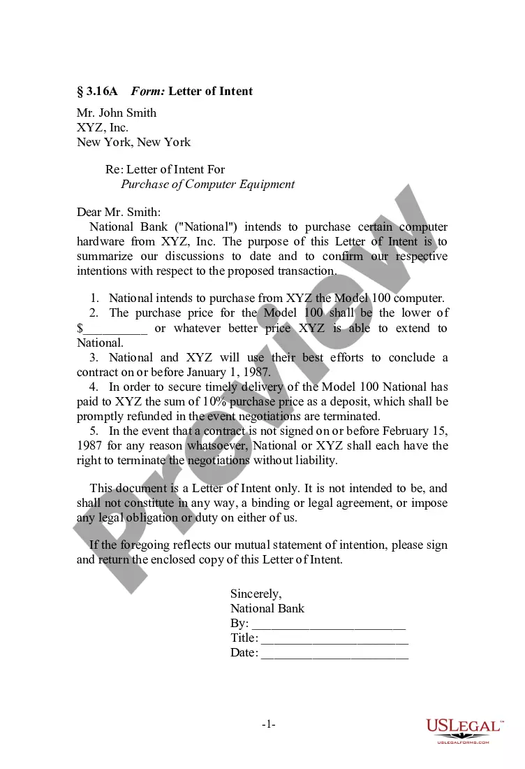
Components of a LOI Opening Paragraph: Your summary statement. ... Statement of Need: The "why" of the project. ( ... Project Activity: The "what" and "how" of the project. ( ... Outcomes (1?2 paragraphs; before or after the Project Activity) ... Credentials (1?2 paragraphs) ... Budget (1?2 paragraphs) ... Closing (1 paragraph) ... Signature.
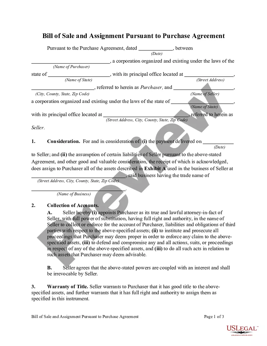
The key terms of an LOI are the following: Purchase price and terms. Assets and liabilities included, especially working capital. Form of consideration, such as cash, stock, earnout, or notes. Legal transaction structure (asset sale or stock sale) Seller's ongoing role and compensation.
Besides detailing the price and payment terms of the transaction, the LOI includes items such as description of the assets to be purchased, any assumed liabilities, the terms of the seller's non-compete agreement, the timeline for due diligence and closing, a confidentiality provision, and an exclusivity provision, ...
Typically, the LOI will include purchase price and terms, the assets and liabilities included in the deal, exclusivity, and the conditions required to close the transaction. If accepted by the sell-side, the LOI is immediately followed by the due diligence phase of the transaction.
It is common for a letter of intent in a merger or acquisition to include the following sections: Purchased Assets. Assumed Liabilities. Purchase Price. Pre-Closing Covenants. Conditions To Obligations. Due Diligence. Confidentiality. Non Competition.
How to Acquire a Company/Business (Steps) Establishing a motive for the acquisition. Before acquiring a business and doing anything, there has to be a good 'why'. ... Create search criteria. ... Research. ... Outreach. ... Intro meetings. ... Making an Offer. ... Due Diligence. ... Closing.
An acquisition is a transaction whereby companies, organizations, and/or their assets are acquired for some consideration by another company. Some examples of acquisitions include: Google's $50 million acquisition of Android in 2005. Pfizer's $90 billion acquisition of Warner-Lambert in 2000.