Boundary Lines For My Property Nz In Michigan
Description


Get your form ready online
Our built-in tools help you complete, sign, share, and store your documents in one place.
Make edits, fill in missing information, and update formatting in US Legal Forms—just like you would in MS Word.
Download a copy, print it, send it by email, or mail it via USPS—whatever works best for your next step.
Sign and collect signatures with our SignNow integration. Send to multiple recipients, set reminders, and more. Go Premium to unlock E-Sign.
If this form requires notarization, complete it online through a secure video call—no need to meet a notary in person or wait for an appointment.
We protect your documents and personal data by following strict security and privacy standards.
Make edits, fill in missing information, and update formatting in US Legal Forms—just like you would in MS Word.
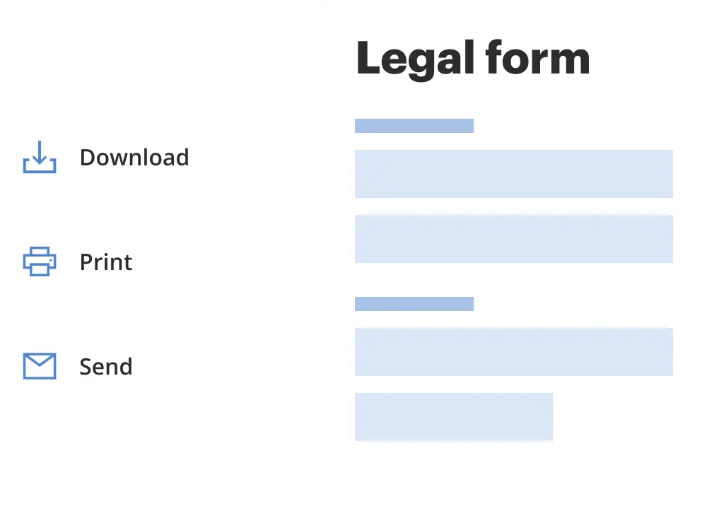
Download a copy, print it, send it by email, or mail it via USPS—whatever works best for your next step.
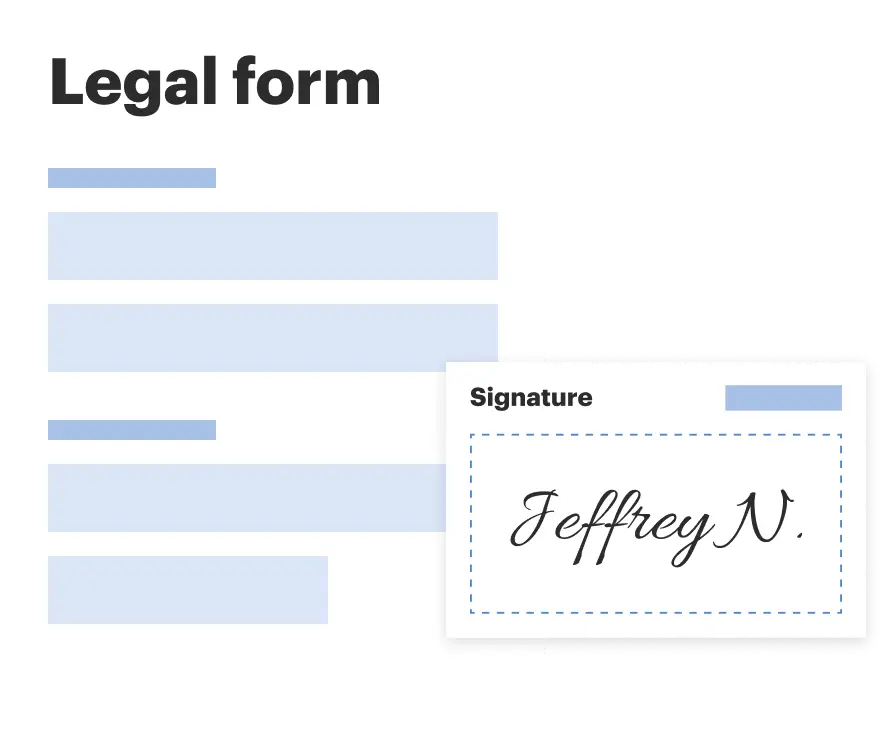
Sign and collect signatures with our SignNow integration. Send to multiple recipients, set reminders, and more. Go Premium to unlock E-Sign.
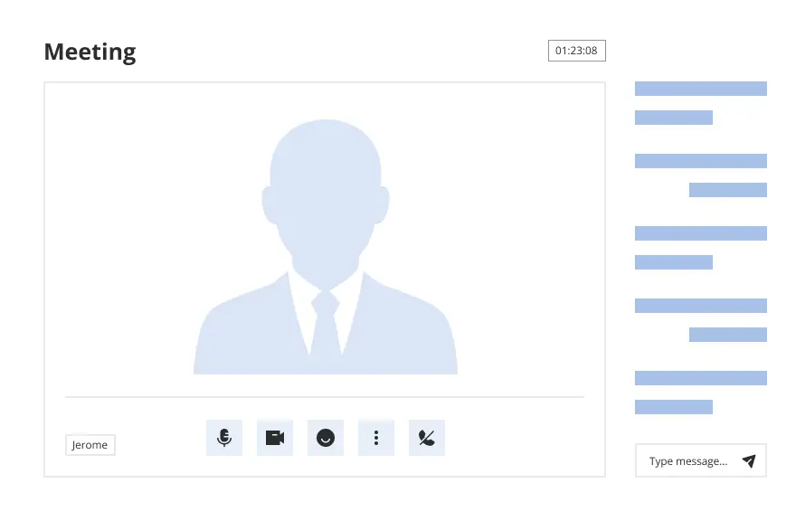
If this form requires notarization, complete it online through a secure video call—no need to meet a notary in person or wait for an appointment.
We protect your documents and personal data by following strict security and privacy standards.
Looking for another form?

Form popularity
FAQ
While convenient, the accuracy of smartphones in determining precise property boundaries is limited: GPS accuracy on phones typically ranges, which may not meet the legal standards required for land surveying. Environmental factors like buildings or natural terrain can obstruct GPS signals, affecting accuracy.
Hire a licensed land surveyor The most accurate way to know where your land begins and ends is to hire a surveyor to determine your property lines. The property surveyor will first check county records to understand the history of the lot.
Property markers, monuments or stakes are metal rods usually placed at every corner of the property, including any angle or change of direction of the boundary line. The location of each marker is typically shown on the plat map by lot.
How to Find the Property Lines for Your Land Check your deed. Check the official website for the assessor's office in your municipality. If you don't have a copy, and there's nothing available online, visit the county recorder's office or the assessor's office. Last but not least, hire a surveyor.
Online aerial maps (like those available on some council websites) give you a starting point. However, the definitive description of your boundary is on the legal title for your property. There is usually at least one diagram on your title which will have the set measurements of all of your boundaries' locations.
It shares water and land boundaries with Minnesota to the northwest, Wisconsin to the west, Indiana and Illinois to the southwest, Ohio to the southeast, and the Canadian province of Ontario to the east, northeast and north.
Long-term Resident Senior Exemption The property must qualify for a homestead exemption. At least one homeowner must be 65 years old as of January 1. Total 'Household Adjusted Gross Income' for everyone who lives on the property cannot exceed statutory limits.
The Neighborhood Enterprise Zone (NEZ) program, as defined in Michigan Public Act 147 of 1992, as amended, provides a reduction of future taxes for a period of 6-15 years on the improvements made to the residential component of an eligible building following its construction or rehabilitation.
Program Overview. Industrial property tax abatements provide incentives for eligible businesses to make new investments in Michigan. These abatements encourage Michigan manufacturers to build new plants, expand existing plants, renovate aging plants, or add new machinery and equipment.
The Neighborhood Enterprise Zone (NEZ) program was established by Public Act 147 of 1992, as amended. The program provides a tax incentive for the development and rehabilitation of residential housing. A qualified local unit of government may designate one or more areas as a NEZ within that local unit of government.
