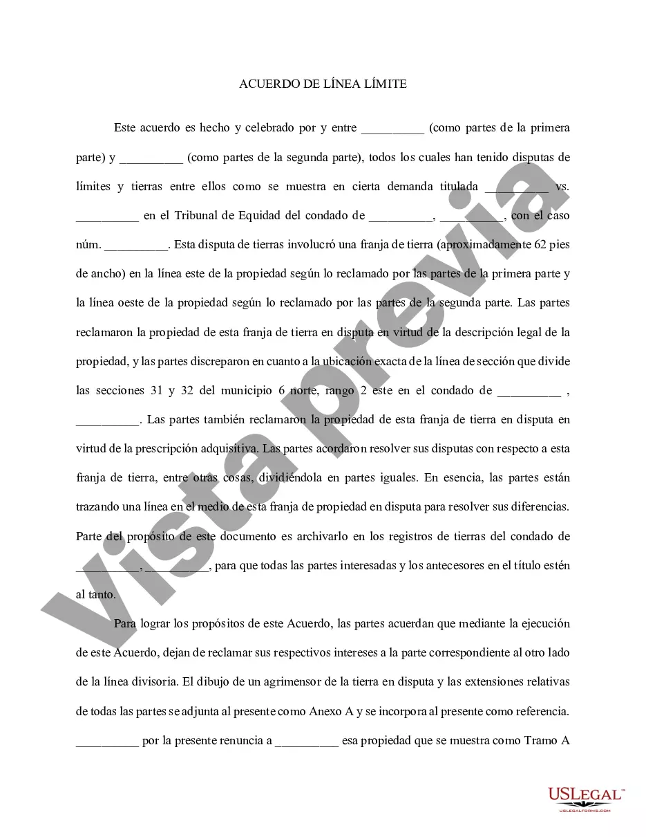
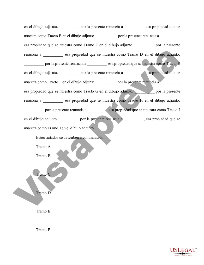
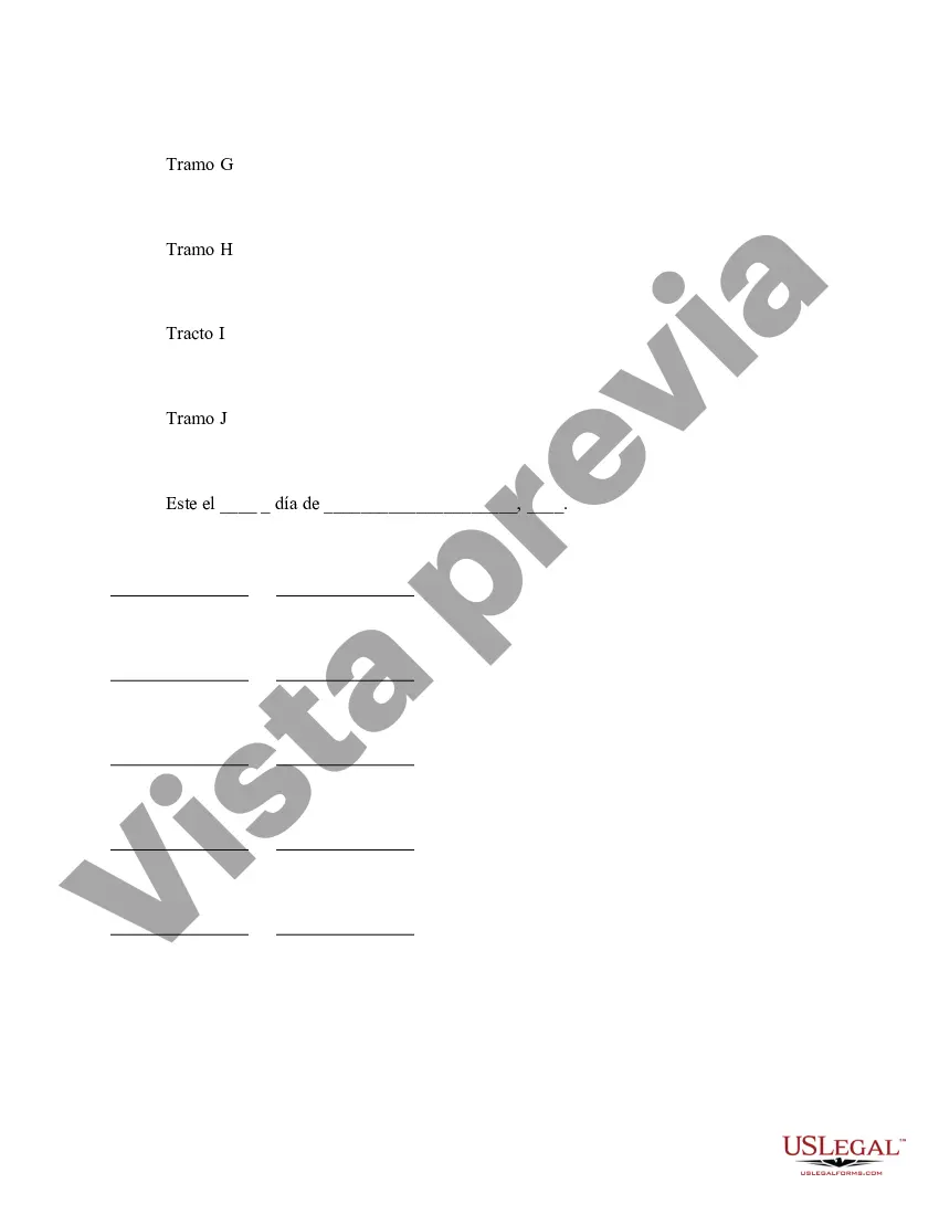
Boundary Lines For Project In Montgomery - Boundary Line Agreement

State:
Multi-State
County:
Montgomery
Control #:
US-00440
Format:
Word
Instant download

Description

This Boundary Line Agreement is used for parties who have disputed over the boundaries of a piece of real estate. The parties agree that by execution of this Agreement, they are quitclaiming their respective interests to the appropriate party on the other side of the dividing line. A surveyor's drawing of the disputed land and relative tracts of all parties should be attached for clarification. Para su conveniencia, debajo del texto en español le brindamos la versión completa de este formulario en inglés. For your convenience, the complete English version of this form is attached below the Spanish version.
Free preview
  • Form preview
  • Form preview
  • Form preview
  • Form preview

Form popularity

FAQ

The deed must have a Certification of Preparation. The attorney who prepared the document or one of the parties named in the instrument must sign the Certificate. The grantors (sellers) must sign the deed, which should be acknowledged before a Notary Public. The parcel ID# must be typed or printed on the deed.

If a plat for a property is needed, contact the local Land Records office where the property is located. Plats are also available online through the Maryland State Archives at .plats. Property maps provided courtesy of the Maryland Department of Planning.

Section 3 ordinances require a 30' setback from any front property line. Please note that Montgomery County requires a 25' setback or the Established Building Line (EBL), whichever is greater.

Google Maps for displaying property lines, follow these simple steps: Step 1: Open Google Maps. Step 2: Search for the Desired Location. Step 3: Switch to Satellite View. Step 4: Enable the 'Measure Distance' Tool. Step 5: Draw the Property Lines.

Subdivision record plats showing property lines and dimensions can be obtained from a variety of sources: PLATS—Subdivision record plats can be printed or downloaded from this online repository maintained by the Maryland State Archives. Land Records Department, County Clerk's Office, Rockville.

More info

A mapping tool that shows historical patterns of segregation in Montgomery County. The Montgomery Planning Department tracks the residential and nonresidential development pipeline for Montgomery County.This is layer show the geographic boundaries for Montgomery County municipalities. Homeowners should check with the Zoning Section, Call 311 in Montgomery County or 240-777-. Layered, highly detailed map that gives you realtime information about all the construction and repair projects in your neighborhood. Describe your item below. Add fields on the Data tab. If you are unable to navigate through this change, please give us a call at and we will be more than happy to assist you. Picture1. Applications. The Long Range Planning Division (LRP) is responsible for comprehensive long and short range urban planning for the City of Montgomery. We put land on the map.

Trusted and secure by over 3 million people of the world’s leading companies

Boundary Lines For Project In Montgomery