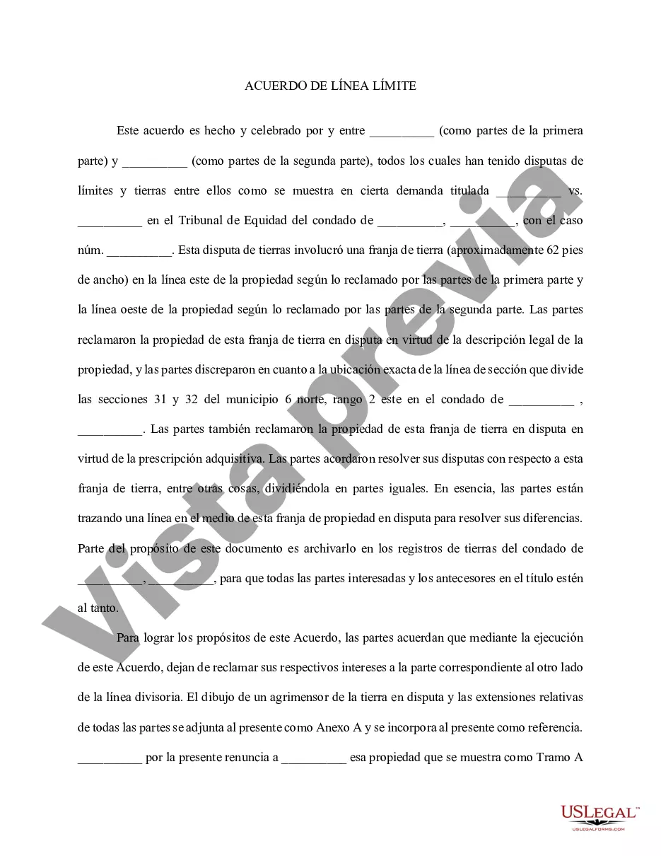
Boundary Lines For Project In Allegheny - Boundary Line Agreement
State:
Multi-State
County:
Allegheny
Control #:
US-00440
Format:
Word
Instant download
Description
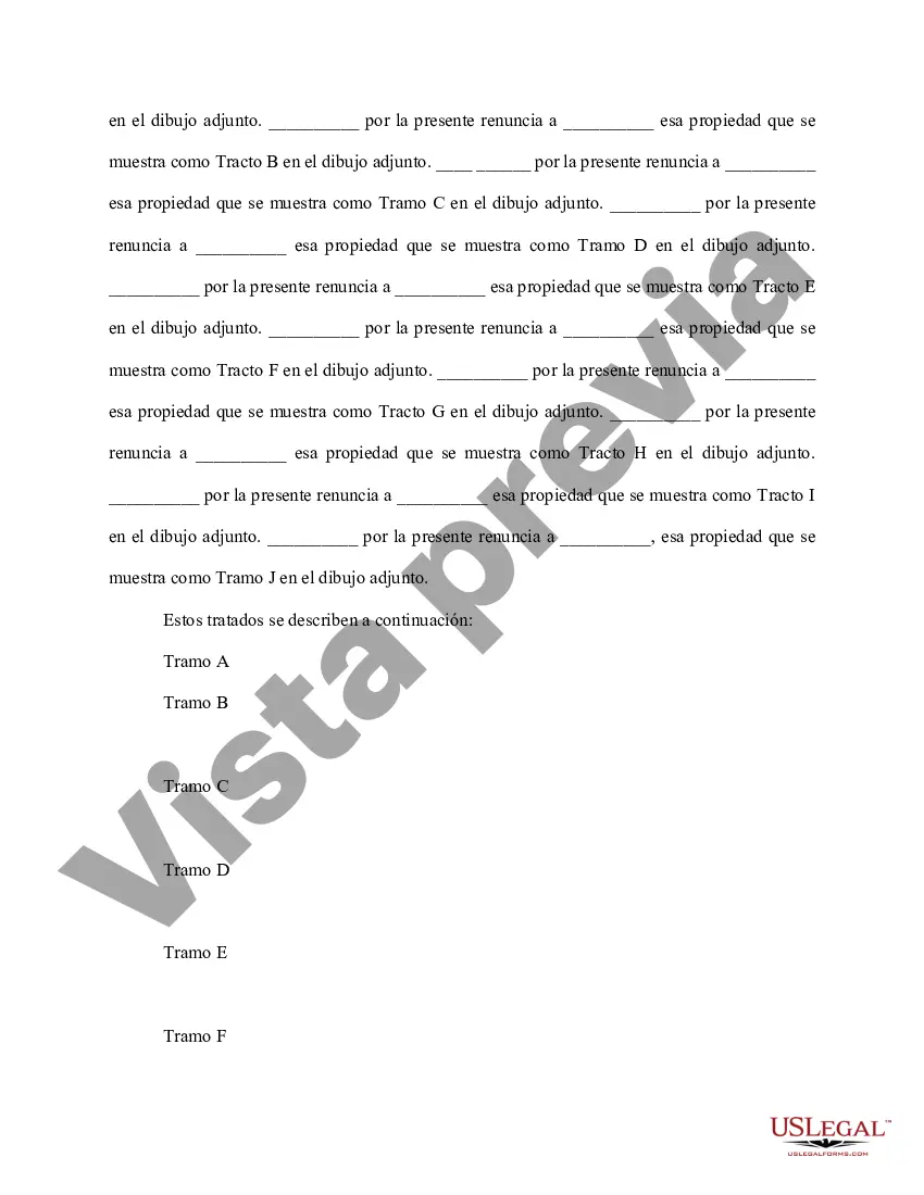
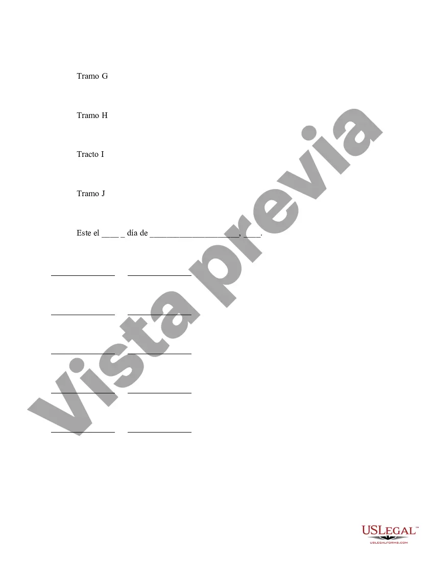
This Boundary Line Agreement is used for parties who have disputed over the boundaries of a piece of real estate. The parties agree that by execution of this Agreement, they are quitclaiming their respective interests to the appropriate party on the other side of the dividing line. A surveyor's drawing of the disputed land and relative tracts of all parties should be attached for clarification.
Para su conveniencia, debajo del texto en español le brindamos la versión completa de este formulario en inglés.
For your convenience, the complete English version of this form is attached below the Spanish version.
Free preview

Form popularity
More info
Minimum acceptable drawing scale for the plat of the actual subdivision: 1" = 100". Us to start the process.If the proposed project is located in two or more municipalities, show municipal boundary lines on the plan. (8). This dataset demarcates the municipal boundaries in Allegheny County. Data was created to portray the boundaries of the 130 Municipalities in Allegheny County. Our GIS viewer allows users without geographical information systems (GIS) software to view, print, and share spatial data. You can use your property's dimensions as noted on the Allegheny. County Real Estate website to determine where the remaining lines are. The purpose of the Allegheny Lease Mapping Project was to obtain and map all parcels found in the county to have some kind of oil and gas related transaction. Allegheny County Council Map.