Loading
Get Nasa Outline Maps
How it works
-

Open form follow the instructions
-

Easily sign the form with your finger
-

Send filled & signed form or save
How to fill out the NASA Outline Maps online
Filling out the NASA Outline Maps online is an important step for those seeking to engage with geographical information effectively. This guide will provide you with detailed instructions on how to successfully fill out the different sections of the form, ensuring a smooth experience.
Follow the steps to complete the NASA Outline Maps online.
- Click ‘Get Form’ button to obtain the document and open it in the online editor.
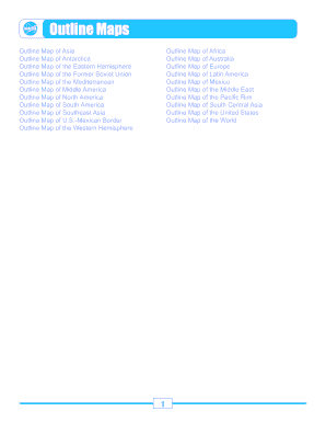
- Review the selection of maps available. Each outline map corresponds to a specific geographic region or feature, such as Asia, Antarctica, and various continents.
- Select the outline map you wish to fill out. Ensure you choose the correct map that meets your needs.
- Fill out any required fields. Some maps may have specific instructions or fields to complete, such as labeling geographical features or indicating certain coordinates.
- Use the provided tools in the online editor to mark or annotate the outline map as needed. Pay attention to any specific guidelines regarding the markings.
- Review your completed map for accuracy and completeness. Make sure that all necessary fields are filled in correctly.
- After reviewing, you can save your changes. Options may include downloading, printing, or sharing the map for further use.
Start completing your NASA Outline Maps online today!
Creating a geographic map involves several steps, including determining the area of interest and gathering the necessary data. You can use tools like GIS software or online mapping services to draft the layout. Additionally, incorporating NASA Outline Maps can help you start with a structured foundation, allowing you to add details as needed.
Industry-leading security and compliance
US Legal Forms protects your data by complying with industry-specific security standards.
-
In businnes since 199725+ years providing professional legal documents.
-
Accredited businessGuarantees that a business meets BBB accreditation standards in the US and Canada.
-
Secured by BraintreeValidated Level 1 PCI DSS compliant payment gateway that accepts most major credit and debit card brands from across the globe.