Loading
Get Columbia Basin Net
How it works
-

Open form follow the instructions
-

Easily sign the form with your finger
-

Send filled & signed form or save
How to fill out the Columbia Basin Net online
This guide provides clear and detailed instructions to help users effectively fill out the Columbia Basin Net form online. Whether you are familiar with digital documents or new to the process, you will find this guide useful.
Follow the steps to successfully complete the Columbia Basin Net form.
- Press the ‘Get Form’ button to access the Columbia Basin Net form and open it in your preferred digital editor.
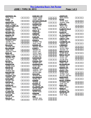
- Review the first section of the form for header information. Ensure that you have the correct date range indicated, which should be June 1 through 30, 2013.
- Locate the body of the form where user information is listed. This includes names, callsigns, and locations of individuals in the roster. If you are adding a new user or updating existing information, clearly annotate the fields with the correct details.
- Continue through the form, checking for sections like visitor stations. Any additional notes or information required should be clearly entered in the corresponding fields.
- Complete the section for NCS call sign and date, ensuring all entries are accurate and reflective of the current roster.
- After filling out all necessary information, review the entire document for any errors or omissions. Make corrections as needed.
- Finally, save your changes to the form. You may also choose to download a copy, print it for your records, or share it as required.
Begin filling out the Columbia Basin Net form online today and ensure all required details are accurately submitted.
Physically, the Basin consists of the Rocky Mountains to the east and north, the Cascade Range on the west, and the Great Basin to the south. The Columbia River begins its flow through this Basin from Canada's Rocky Mountain Range and eventually becomes the border between Oregon and Washington.